10319 Golden Ridge Dr Wadsworth, OH 44281
Estimated Value: $447,000 - $569,000
4
Beds
3
Baths
2,288
Sq Ft
$225/Sq Ft
Est. Value
About This Home
This home is located at 10319 Golden Ridge Dr, Wadsworth, OH 44281 and is currently estimated at $515,318, approximately $225 per square foot. 10319 Golden Ridge Dr is a home located in Medina County with nearby schools including Franklin Elementary School, Central Intermediate School, and Wadsworth Middle School.
Ownership History
Date
Name
Owned For
Owner Type
Purchase Details
Closed on
Mar 2, 2011
Sold by
Hudak Gary M and Hudak Cathy R
Bought by
Hudak Gary M and Cathy R Trustee
Current Estimated Value
Purchase Details
Closed on
Feb 25, 2000
Sold by
Robinson Richard R and Robinson Debra E
Bought by
Hudak Gary M and Hudak Cathy R
Home Financials for this Owner
Home Financials are based on the most recent Mortgage that was taken out on this home.
Original Mortgage
$105,000
Interest Rate
8.21%
Purchase Details
Closed on
Nov 23, 1998
Sold by
Lynn Timothy J and Lynn Charles V
Bought by
Robinson Richard R and Robinson Debra E
Home Financials for this Owner
Home Financials are based on the most recent Mortgage that was taken out on this home.
Original Mortgage
$145,000
Interest Rate
7.01%
Create a Home Valuation Report for This Property
The Home Valuation Report is an in-depth analysis detailing your home's value as well as a comparison with similar homes in the area
Home Values in the Area
Average Home Value in this Area
Purchase History
| Date | Buyer | Sale Price | Title Company |
|---|---|---|---|
| Hudak Gary M | -- | -- | |
| Hudak Gary M | $229,100 | L T I C | |
| Robinson Richard R | $50,000 | -- |
Source: Public Records
Mortgage History
| Date | Status | Borrower | Loan Amount |
|---|---|---|---|
| Previous Owner | Hudak Gary M | $105,000 | |
| Previous Owner | Robinson Richard R | $145,000 | |
| Closed | Hudak Gary M | $40,000 |
Source: Public Records
Tax History Compared to Growth
Tax History
| Year | Tax Paid | Tax Assessment Tax Assessment Total Assessment is a certain percentage of the fair market value that is determined by local assessors to be the total taxable value of land and additions on the property. | Land | Improvement |
|---|---|---|---|---|
| 2024 | $5,766 | $132,050 | $35,360 | $96,690 |
| 2023 | $5,766 | $132,050 | $35,360 | $96,690 |
| 2022 | $5,778 | $132,050 | $35,360 | $96,690 |
| 2021 | $5,735 | $110,040 | $29,460 | $80,580 |
| 2020 | $5,218 | $110,040 | $29,460 | $80,580 |
| 2019 | $5,227 | $110,040 | $29,460 | $80,580 |
| 2018 | $4,765 | $94,090 | $27,020 | $67,070 |
| 2017 | $4,767 | $94,090 | $27,020 | $67,070 |
| 2016 | $4,862 | $94,090 | $27,020 | $67,070 |
| 2015 | $4,766 | $87,940 | $25,250 | $62,690 |
| 2014 | $4,505 | $87,940 | $25,250 | $62,690 |
| 2013 | $4,510 | $87,940 | $25,250 | $62,690 |
Source: Public Records
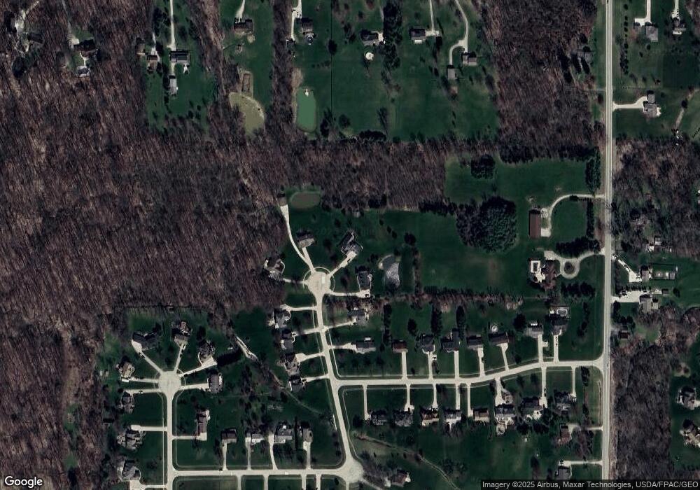
Map
Nearby Homes
- 243 Chelley Ln
- 1014 Marissa Dr
- 1008 Barn Swallow Cir
- Amberwood Plan at Mount Eaton Estates - Mount Eaton Estates
- Newberry Plan at Mount Eaton Estates - Mount Eaton Estates
- Ascend Plan at Mount Eaton Estates - Mount Eaton Estates
- Aspire Plan at Mount Eaton Estates - Mount Eaton Estates
- Fairview Plan at Mount Eaton Estates - Mount Eaton Estates
- Mercer Plan at Mount Eaton Estates - Mount Eaton Estates
- Continental Plan at Mount Eaton Estates - Mount Eaton Estates
- Boardwalk Plan at Mount Eaton Estates - Mount Eaton Estates
- 970 Eastern Rd
- 220 Country Meadow Ln
- 10091 Dale Dr
- 877 Chardoney Dr
- 195 Johnson Rd
- 678 Wall Rd
- 9900 Homestead Rd
- 595 Jessica Ln
- 499 Main St
- 10323 Golden Ridge Dr
- 10316 Golden Ridge Dr
- 10335 Golden Ridge Dr
- 10320 Golden Ridge Dr
- 1235 Greenhaven Ln
- 10330 Golden Ridge Dr
- 10343 Golden Ridge Dr
- 0 Golden Ridge Dr
- 1225 Greenhaven Ln
- 10338 Golden Ridge Dr
- 10352 Golden Ridge Dr
- 1211 Greenhaven Ln
- 10360 Golden Ridge Dr
- 1201 Greenhaven Ln
- 10363 Clear Brook Cir
- 1189 Greenhaven Ln
- 1240 Greenhaven Ln
- 10359 Clear Brook Cir
- 10280 Mount Eaton Rd
- 10367 Clear Brook Cir