10319 Lancaster Hwy Waxhaw, NC 28173
Estimated Value: $319,236 - $381,000
3
Beds
2
Baths
1,274
Sq Ft
$275/Sq Ft
Est. Value
About This Home
This home is located at 10319 Lancaster Hwy, Waxhaw, NC 28173 and is currently estimated at $350,559, approximately $275 per square foot. 10319 Lancaster Hwy is a home located in Union County with nearby schools including Waxhaw Elementary School, Parkwood Middle School, and Parkwood High School.
Ownership History
Date
Name
Owned For
Owner Type
Purchase Details
Closed on
Jan 29, 2018
Sold by
Snodgrass Alvin Franklin and Snodgrass Patricia
Bought by
Snodgrass Michael Ryan and Snodgrass Elizabeth L
Current Estimated Value
Home Financials for this Owner
Home Financials are based on the most recent Mortgage that was taken out on this home.
Original Mortgage
$150,000
Outstanding Balance
$122,296
Interest Rate
2.87%
Mortgage Type
Adjustable Rate Mortgage/ARM
Estimated Equity
$228,263
Purchase Details
Closed on
Jul 19, 2017
Sold by
Snodgrass Alvin Franklin and Snodgrass Alica
Bought by
Snodgrass Alvin Franklin and Snodgrass Patricia
Home Financials for this Owner
Home Financials are based on the most recent Mortgage that was taken out on this home.
Original Mortgage
$140,415
Interest Rate
3.25%
Mortgage Type
FHA
Create a Home Valuation Report for This Property
The Home Valuation Report is an in-depth analysis detailing your home's value as well as a comparison with similar homes in the area
Home Values in the Area
Average Home Value in this Area
Purchase History
| Date | Buyer | Sale Price | Title Company |
|---|---|---|---|
| Snodgrass Michael Ryan | $185,000 | None Available | |
| Snodgrass Alvin Franklin | -- | None Available |
Source: Public Records
Mortgage History
| Date | Status | Borrower | Loan Amount |
|---|---|---|---|
| Open | Snodgrass Michael Ryan | $150,000 | |
| Previous Owner | Snodgrass Alvin Franklin | $140,415 |
Source: Public Records
Tax History Compared to Growth
Tax History
| Year | Tax Paid | Tax Assessment Tax Assessment Total Assessment is a certain percentage of the fair market value that is determined by local assessors to be the total taxable value of land and additions on the property. | Land | Improvement |
|---|---|---|---|---|
| 2025 | $1,721 | $359,500 | $0 | $0 |
| 2024 | $1,218 | $190,800 | $45,800 | $145,000 |
| 2023 | $1,198 | $190,800 | $45,800 | $145,000 |
| 2022 | $1,198 | $190,800 | $45,800 | $145,000 |
| 2021 | $1,177 | $190,800 | $45,800 | $145,000 |
| 2020 | $831 | $107,800 | $35,000 | $72,800 |
| 2019 | $888 | $107,800 | $35,000 | $72,800 |
| 2018 | $888 | $107,800 | $35,000 | $72,800 |
| 2017 | $942 | $107,800 | $35,000 | $72,800 |
| 2016 | $888 | $107,800 | $35,000 | $72,800 |
| 2015 | $900 | $107,800 | $35,000 | $72,800 |
| 2014 | $959 | $134,800 | $73,000 | $61,800 |
Source: Public Records
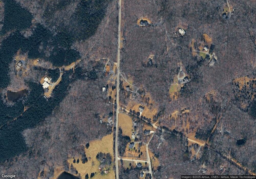
Map
Nearby Homes
- 9315 Simpson Rd
- 0 Huey Rd Unit 10,11 CAR4222944
- 1009 Cane Manor Ct Unit 3
- 1003 Cane Manor Ct Unit 5
- 1006 Cane Manor Ct Unit 7
- 1010 Cane Manor Ct Unit 8
- 1005 Cane Manor Ct Unit 4
- 8824 Simpson Rd
- 1285 Quiet Creek Dr Unit 15
- 01 Tirzah Church Rd
- A-1 George Cook Rd
- 8709 Providence Rd S Unit 2
- 9404 S Providence Rd
- TBD Steele Rd Unit 5
- 0 Monroe Hwy Unit CAR4213831
- 00 Craig Farm Rd
- 7827 Walkup Rd
- 8018 Fairmont Dr
- 6405 Fawn Crest Dr
- 8001 Rillwood Dr
- 10320 Lancaster Hwy
- 10308 Lancaster Hwy
- 9633 Simpson Rd
- 10408 Lancaster Hwy
- 10409 Lancaster Hwy
- 10411 Lancaster Hwy
- Lot 5 Lancaster Hwy
- 6914 Huey Rd
- oooo S Lancaster Hwy
- 00 Hwy 200 Hwy
- HWY200 Hwy 200 Hwy
- 9629 Simpson Rd
- 10223 Lancaster Hwy
- 10413 Lancaster Hwy Unit 9
- 6960 Huey Rd
- 10420 Lancaster Hwy
- 10419 Lancaster Hwy
- 10421 Lancaster Hwy Unit 6
- 9613 Simpson Rd
- 10423 Lancaster Hwy Unit 5