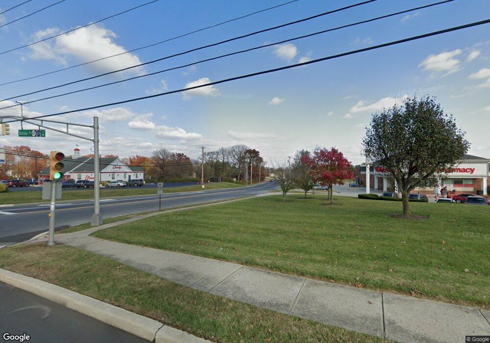
1032 Delsea Dr N Vineland, NJ 08360
Estimated Value: $55,907 - $101,000
--
Bed
--
Bath
--
Sq Ft
1.46
Acres
About This Home
This home is located at 1032 Delsea Dr N, Vineland, NJ 08360 and is currently estimated at $78,454. 1032 Delsea Dr N is a home located in Cumberland County with nearby schools including Marie D. Durand Elementary School, T.W. Wallace Middle School, and Vineland Senior High School.
Ownership History
Date
Name
Owned For
Owner Type
Purchase Details
Closed on
Mar 2, 2021
Sold by
Muratov Anvarzhan and Muratov Farkhad
Bought by
Fase United Llc
Current Estimated Value
Purchase Details
Closed on
Dec 17, 2020
Sold by
Floresi Gary
Bought by
Muratov Anvarzhan and Muratov Farkhad
Purchase Details
Closed on
Dec 19, 2012
Sold by
Ronald Rioresi and Fioresi Dominick
Bought by
Fioresi Gary
Purchase Details
Closed on
Apr 18, 2001
Sold by
Fioresi Brothers Inc
Bought by
Fioresi Ronald and Fioresi Dominick
Create a Home Valuation Report for This Property
The Home Valuation Report is an in-depth analysis detailing your home's value as well as a comparison with similar homes in the area
Home Values in the Area
Average Home Value in this Area
Purchase History
| Date | Buyer | Sale Price | Title Company |
|---|---|---|---|
| Fase United Llc | -- | None Available | |
| Muratov Anvarzhan | $35,000 | Misc Company | |
| Fioresi Gary | -- | -- | |
| Fioresi Ronald | $70,200 | -- |
Source: Public Records
Tax History Compared to Growth
Tax History
| Year | Tax Paid | Tax Assessment Tax Assessment Total Assessment is a certain percentage of the fair market value that is determined by local assessors to be the total taxable value of land and additions on the property. | Land | Improvement |
|---|---|---|---|---|
| 2025 | $1,592 | $50,000 | $50,000 | -- |
| 2024 | $1,592 | $50,000 | $50,000 | $0 |
| 2023 | $1,582 | $50,000 | $50,000 | $0 |
| 2022 | $1,535 | $50,000 | $50,000 | $0 |
| 2021 | $1,507 | $50,000 | $50,000 | $0 |
| 2020 | $1,464 | $50,000 | $50,000 | $0 |
| 2019 | $2,896 | $100,300 | $100,300 | $0 |
| 2018 | $2,819 | $100,300 | $100,300 | $0 |
| 2017 | $2,678 | $100,300 | $100,300 | $0 |
| 2016 | $2,584 | $100,300 | $100,300 | $0 |
| 2015 | $2,488 | $100,300 | $100,300 | $0 |
| 2014 | $2,353 | $100,300 | $100,300 | $0 |
Source: Public Records
Map
Nearby Homes
- 1252 W Oak Rd
- 663 Wayne Ave
- 1489 N Delsea Dr
- 550 Northwest Ave
- 1429 W Oak Rd
- 1500 Venus Dr
- 1811 N Delsea Dr Unit 4
- 108 W Park Ave
- 1887 N Delsea Dr Unit 39
- 1887 N Delsea Dr Unit 135 HOLLY HOCK DR.
- 1887 N Delsea Dr Unit 19
- 1469 N Mill Rd
- 0 W Landis Ave
- 330 W Peach St
- 1457 W Landis Ave
- 1267 Northeast Blvd
- 1535 W Landis Ave
- 1298 W Cornell St
- 2246 N West Ave
- 829 W Garden Rd
- 1032 N Delsea Dr
- 1021 N Delsea Dr
- 1062 N Delsea Dr
- 965 W Oak Rd
- 871 W Oak Rd Unit B
- 871 W Oak Rd Unit A
- 871 W Oak Rd
- 940 N Delsea Dr
- 1005 W Oak Rd
- 947 N Delsea Dr
- 0 W Oak Rd
- 1041 W Oak Rd
- 1091 N Delsea Dr
- 970 W Oak Rd
- 1083 W Oak Rd
- 927 N Delsea Dr
- 1000 W Oak Rd
- 1020 W Oak Rd
- 892 N Delsea Dr
- 1069 W Oak Rd