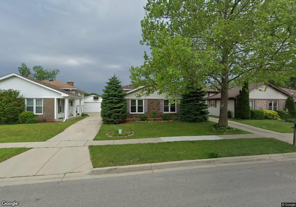
1032 Fulton Dr Streamwood, IL 60107
Estimated Value: $328,000 - $349,000
3
Beds
2
Baths
1,169
Sq Ft
$291/Sq Ft
Est. Value
About This Home
This home is located at 1032 Fulton Dr, Streamwood, IL 60107 and is currently estimated at $339,994, approximately $290 per square foot. 1032 Fulton Dr is a home located in Cook County with nearby schools including Heritage Elementary School, Tefft Middle School, and Streamwood High School.
Ownership History
Date
Name
Owned For
Owner Type
Purchase Details
Closed on
Jul 15, 2005
Sold by
Cotter Paul E and Cotter Corrine M
Bought by
Korus Rafal and Stelmach Korus Renata
Current Estimated Value
Home Financials for this Owner
Home Financials are based on the most recent Mortgage that was taken out on this home.
Original Mortgage
$212,000
Outstanding Balance
$111,238
Interest Rate
5.74%
Mortgage Type
Fannie Mae Freddie Mac
Estimated Equity
$228,756
Purchase Details
Closed on
Aug 12, 1998
Sold by
Cotter Paul E and Crown Corinne M
Bought by
Cotter Paul E and Cotter Corinne M
Home Financials for this Owner
Home Financials are based on the most recent Mortgage that was taken out on this home.
Original Mortgage
$113,750
Interest Rate
6.99%
Create a Home Valuation Report for This Property
The Home Valuation Report is an in-depth analysis detailing your home's value as well as a comparison with similar homes in the area
Home Values in the Area
Average Home Value in this Area
Purchase History
| Date | Buyer | Sale Price | Title Company |
|---|---|---|---|
| Korus Rafal | $265,000 | 1St American Title | |
| Cotter Paul E | -- | -- |
Source: Public Records
Mortgage History
| Date | Status | Borrower | Loan Amount |
|---|---|---|---|
| Open | Korus Rafal | $212,000 | |
| Previous Owner | Cotter Paul E | $113,750 |
Source: Public Records
Tax History Compared to Growth
Tax History
| Year | Tax Paid | Tax Assessment Tax Assessment Total Assessment is a certain percentage of the fair market value that is determined by local assessors to be the total taxable value of land and additions on the property. | Land | Improvement |
|---|---|---|---|---|
| 2024 | $6,987 | $26,001 | $3,938 | $22,063 |
| 2023 | $6,773 | $26,001 | $3,938 | $22,063 |
| 2022 | $6,773 | $26,001 | $3,938 | $22,063 |
| 2021 | $5,858 | $19,355 | $3,018 | $16,337 |
| 2020 | $5,841 | $19,355 | $3,018 | $16,337 |
| 2019 | $5,776 | $21,506 | $3,018 | $18,488 |
| 2018 | $5,078 | $17,854 | $2,625 | $15,229 |
| 2017 | $5,029 | $17,854 | $2,625 | $15,229 |
| 2016 | $4,974 | $17,854 | $2,625 | $15,229 |
| 2015 | $4,799 | $16,153 | $2,362 | $13,791 |
| 2014 | $4,745 | $16,153 | $2,362 | $13,791 |
| 2013 | $4,578 | $16,153 | $2,362 | $13,791 |
Source: Public Records
Map
Nearby Homes
- 106 Brittany Dr Unit 17E1
- 69 Colonial Ct
- 6 Wild Rose Ct
- 8 Lasalle Ct
- 9N Merry Oaks Rd
- 134 Virginia Ct
- 36 Evergreen Dr
- 1108 Oak Ridge Dr
- 3 Dorchester Ct
- 53 Samuel Dr Unit 163
- 55 Samuel Dr Unit 162
- 2056 Essex Ct
- 6 Dartmouth Ct
- 2073 Essex Ct
- 2104 Falmouth Ct
- 772 Red Oak Dr
- 1201 Oak Ridge Dr
- 107 Janet Ave
- 103 Locksley Dr
- 113 Samuel Ct Unit 263