Estimated Value: $303,000 - $408,000
2
Beds
2
Baths
1,835
Sq Ft
$189/Sq Ft
Est. Value
About This Home
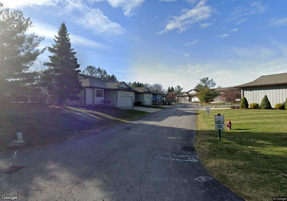
This home is located at 1032 Heath Way, Stow, OH 44224 and is currently estimated at $346,222, approximately $188 per square foot. 1032 Heath Way is a home located in Summit County with nearby schools including Stow-Munroe Falls High School, Holy Family Elementary School, and Cuyahoga Valley Christian Academy.
Ownership History
Date
Name
Owned For
Owner Type
Purchase Details
Closed on
May 12, 2025
Sold by
French Nancy J
Bought by
Durham Lindsay Welker
Current Estimated Value
Purchase Details
Closed on
May 13, 1998
Sold by
Ken Payne Builders Inc
Bought by
French Robert L and French Nancy J
Home Financials for this Owner
Home Financials are based on the most recent Mortgage that was taken out on this home.
Original Mortgage
$164,000
Interest Rate
7.25%
Mortgage Type
New Conventional
Create a Home Valuation Report for This Property
The Home Valuation Report is an in-depth analysis detailing your home's value as well as a comparison with similar homes in the area
Home Values in the Area
Average Home Value in this Area
Purchase History
| Date | Buyer | Sale Price | Title Company |
|---|---|---|---|
| Durham Lindsay Welker | -- | None Listed On Document | |
| French Robert L | $205,000 | -- |
Source: Public Records
Mortgage History
| Date | Status | Borrower | Loan Amount |
|---|---|---|---|
| Previous Owner | French Robert L | $164,000 |
Source: Public Records
Tax History Compared to Growth
Tax History
| Year | Tax Paid | Tax Assessment Tax Assessment Total Assessment is a certain percentage of the fair market value that is determined by local assessors to be the total taxable value of land and additions on the property. | Land | Improvement |
|---|---|---|---|---|
| 2025 | $4,397 | $87,045 | $7,637 | $79,408 |
| 2024 | $4,397 | $87,045 | $7,637 | $79,408 |
| 2023 | $4,397 | $87,045 | $7,637 | $79,408 |
| 2022 | $4,238 | $75,041 | $6,584 | $68,457 |
| 2021 | $3,795 | $75,041 | $6,584 | $68,457 |
| 2020 | $3,730 | $75,040 | $6,580 | $68,460 |
| 2019 | $3,306 | $63,570 | $6,520 | $57,050 |
| 2018 | $3,252 | $63,570 | $6,520 | $57,050 |
| 2017 | $3,039 | $63,570 | $6,520 | $57,050 |
| 2016 | $3,128 | $58,490 | $6,520 | $51,970 |
| 2015 | $3,039 | $58,490 | $6,520 | $51,970 |
| 2014 | $3,042 | $58,490 | $6,520 | $51,970 |
| 2013 | $3,369 | $64,320 | $6,520 | $57,800 |
Source: Public Records
Map
Nearby Homes
- 1244 Arndale Rd
- 3675 Country Club Dr
- V/L Housley Rd
- 1514 & 1516 Robin Ln
- 1530 Pilgrim Dr
- 3114 W Edgerton Rd
- 3044 Millboro Rd
- V/L Diplomat Dr
- 1231 Graham Rd
- 3314 Charles Place
- 3320 Hudson Dr
- 3751 Wyoga Lake Rd
- 4005 N Steels Cir
- 1736 Lafayette Cir
- 435 Roanoke Ave
- 5112 Commanche Trail
- 3058 N Oak Hill Rd
- 3452 Wyoga Lake Rd
- 509 Notre Dame Ave
- 449 Kathron Ave
- 1034 Heath Way Unit 58
- 1030 Heath Way Unit 56
- 3994 Litchfield Loop
- 1037 Heath Way
- 1029 Heath Way
- 1029 Heath Way Unit 53
- 3990 Litchfield Loop
- 4034 Litchfield Loop
- 4034 Litchfield Loop Unit 32
- 1027 Heath Way
- 1027 Heath Way Unit 54
- 1035 Heath Way
- 1031 Heath Way Unit 52
- 1093 Drummond Ct Unit 61
- 1093 Drummond Ct Unit 16
- 3998 Litchfield Loop Unit 40
- 1095 Drummond Ct Unit 60
- 1033 Heath Way
- 1023 Heath Way Unit 62
- 4069 Glencairn Grove Unit 31