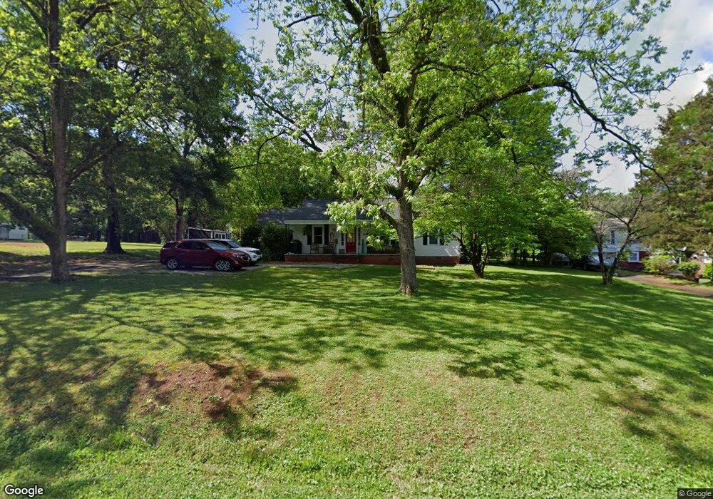
1032 Hillcrest Dr Bessemer, AL 35022
Estimated Value: $196,241 - $278,000
3
Beds
1
Bath
1,400
Sq Ft
$163/Sq Ft
Est. Value
About This Home
This home is located at 1032 Hillcrest Dr, Bessemer, AL 35022 and is currently estimated at $228,310, approximately $163 per square foot. 1032 Hillcrest Dr is a home located in Jefferson County with nearby schools including Bessemer City High School.
Ownership History
Date
Name
Owned For
Owner Type
Purchase Details
Closed on
Sep 1, 2020
Sold by
Flying Donkey Farms Llc
Bought by
Hyche Joseph B and Hyche Bonnie F
Current Estimated Value
Home Financials for this Owner
Home Financials are based on the most recent Mortgage that was taken out on this home.
Original Mortgage
$122,735
Outstanding Balance
$109,119
Interest Rate
3%
Mortgage Type
FHA
Estimated Equity
$119,191
Purchase Details
Closed on
Oct 28, 2015
Sold by
Fluid Communications Llc
Bought by
Flying Donkey Farms Llc
Purchase Details
Closed on
Jun 11, 2013
Sold by
Todd John Norton
Bought by
Fluid Communications Llc
Create a Home Valuation Report for This Property
The Home Valuation Report is an in-depth analysis detailing your home's value as well as a comparison with similar homes in the area
Home Values in the Area
Average Home Value in this Area
Purchase History
| Date | Buyer | Sale Price | Title Company |
|---|---|---|---|
| Hyche Joseph B | $125,000 | -- | |
| Flying Donkey Farms Llc | -- | -- | |
| Fluid Communications Llc | $40,000 | -- |
Source: Public Records
Mortgage History
| Date | Status | Borrower | Loan Amount |
|---|---|---|---|
| Open | Hyche Joseph B | $122,735 |
Source: Public Records
Tax History Compared to Growth
Tax History
| Year | Tax Paid | Tax Assessment Tax Assessment Total Assessment is a certain percentage of the fair market value that is determined by local assessors to be the total taxable value of land and additions on the property. | Land | Improvement |
|---|---|---|---|---|
| 2024 | $1,017 | $17,780 | -- | -- |
| 2022 | $809 | $13,430 | $2,480 | $10,950 |
| 2021 | $828 | $12,820 | $2,480 | $10,340 |
| 2020 | $1,877 | $27,100 | $10,220 | $16,880 |
| 2019 | $1,748 | $25,440 | $0 | $0 |
| 2018 | $1,685 | $24,520 | $0 | $0 |
| 2017 | $1,685 | $24,520 | $0 | $0 |
| 2016 | $1,685 | $24,520 | $0 | $0 |
| 2015 | $1,746 | $25,420 | $0 | $0 |
| 2014 | $1,727 | $25,140 | $0 | $0 |
| 2013 | $1,727 | $25,140 | $0 | $0 |
Source: Public Records
Map
Nearby Homes
- 5027 Roselyn Rd
- 5053 Roselyn Rd
- 7052 Bruce Dr Unit 1
- 1315 Forest Dr SE
- 961 Blackerby Ln
- 2560 Morgan Rd
- 5500 Blue Jay Cir
- 5512 Blue Jay Cir
- 2195 Headrick Rd
- 1153 Lake Dr SE
- 6538 Ivy Walk
- 3605 Morgans Run Pkwy Unit Lot 38
- 3550 Morgans Run Pkwy
- 3631 Morgans Run Pkwy
- 6605 Stone Point Dr Unit 33
- 6405 Waters Edge Cir
- 2000 Nixon Rd Unit Acreage
- 4046 Nixon Rd
- 2212 Gaylewood Dr
- 6440 Waters Edge Cir Unit Lot 8 Morgans Run Su
- 1026 Hillcrest Dr
- 140 Hillcrest Dr
- 1038 Hillcrest Dr
- 1031 Hillcrest Dr
- 1022 Hillcrest Dr
- 1025 Hillcrest Dr
- 1040 Hillcrest Dr
- 1021 Hillcrest Dr
- 1042 Hillcrest Dr
- 1018 Hillcrest Dr
- 1050 Hillcrest Dr
- 1017 Hillcrest Dr
- 1049 Hillcrest Dr
- 1039 Hillcrest Dr
- 1012 Hillcrest Dr
- 1006 Hillcrest Dr
- 1044 Hillcrest Dr
- 5051 Pleasant Hill Rd
- 1035 Hillcrest Dr
- 5045 Pleasant Hill Rd