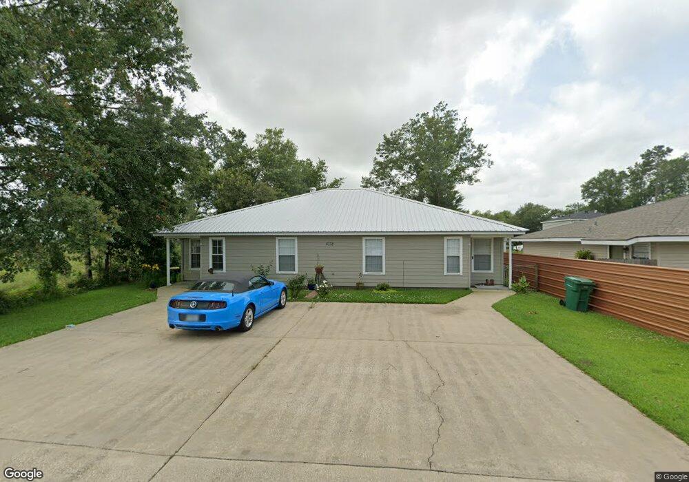
1032 Link Rd Unit B Lake Charles, LA 70607
Estimated Value: $148,809 - $580,000
2
Beds
1
Bath
1,000
Sq Ft
$308/Sq Ft
Est. Value
About This Home
This home is located at 1032 Link Rd Unit B, Lake Charles, LA 70607 and is currently estimated at $308,452, approximately $308 per square foot. 1032 Link Rd Unit B is a home located in Calcasieu Parish with nearby schools including M.J. Kaufman Elementary School, F.K. White Middle School, and LaGrange High School.
Ownership History
Date
Name
Owned For
Owner Type
Purchase Details
Closed on
Oct 4, 2007
Sold by
Prejean Investments Llc
Bought by
Territa Sharon Ann
Current Estimated Value
Home Financials for this Owner
Home Financials are based on the most recent Mortgage that was taken out on this home.
Original Mortgage
$113,600
Outstanding Balance
$70,521
Interest Rate
6.55%
Mortgage Type
New Conventional
Estimated Equity
$237,931
Create a Home Valuation Report for This Property
The Home Valuation Report is an in-depth analysis detailing your home's value as well as a comparison with similar homes in the area
Purchase History
| Date | Buyer | Sale Price | Title Company |
|---|---|---|---|
| Territa Sharon Ann | $142,000 | None Available |
Source: Public Records
Mortgage History
| Date | Status | Borrower | Loan Amount |
|---|---|---|---|
| Open | Territa Sharon Ann | $113,600 |
Source: Public Records
Tax History
| Year | Tax Paid | Tax Assessment Tax Assessment Total Assessment is a certain percentage of the fair market value that is determined by local assessors to be the total taxable value of land and additions on the property. | Land | Improvement |
|---|---|---|---|---|
| 2025 | $724 | $14,160 | $1,620 | $12,540 |
| 2024 | $724 | $14,160 | $1,620 | $12,540 |
| 2023 | $716 | $14,160 | $1,620 | $12,540 |
| 2022 | $736 | $14,160 | $1,620 | $12,540 |
| 2021 | $753 | $14,160 | $1,620 | $12,540 |
| 2020 | $1,448 | $12,850 | $1,560 | $11,290 |
| 2019 | $1,589 | $14,040 | $1,500 | $12,540 |
| 2018 | $748 | $14,040 | $1,500 | $12,540 |
| 2017 | $1,601 | $14,040 | $1,500 | $12,540 |
| 2016 | $1,612 | $14,040 | $1,500 | $12,540 |
| 2015 | $1,228 | $11,970 | $2,230 | $9,740 |
Source: Public Records
Map
Nearby Homes
- 0 Link Rd Unit SWL24005611
- 0 Tallow Rd Unit SWL24005610
- 832 Desoto St
- 857 Desoto St
- 709 Sundale Dr
- 730 Rampart St
- 0 Petro Point Dr
- 925 Lebleu Rd
- 3921,3923,3925 Common St
- 0 Murbelle Rd
- 725 Murbelle Rd
- 645 Esplanade St
- 1013 Royal St
- 5728 Common St
- 444 Arlington Dr
- 5924 Common St
- 4701 Desoto St
- 713 Bienville St
- 1754 Park Place Dr
- 1902 Thibodeaux Rd
- 1032 Link Rd
- 1026 Link Rd
- 0 Link Rd Unit 127447
- 0 Link Rd Unit 70942
- 0 Link Rd Unit 70827
- 0 Link Rd Unit 69430
- 0 Link Rd Unit 70940
- 0 Link Rd Unit 79166
- 0 Link Rd Unit 97108
- 0 tbd Link Rd
- 0 Link Rd Unit SWL22001746
- 0 Link Rd Unit 191735
- 0 Link Rd Unit 127449
- 0 Link Rd Unit 127448
- 0 Link Rd
- 1022 Link Rd
- 1 2 Tallow Rd
- 955 Tallow Rd
- 1020 Link Rd
- 951 Tallow Rd
Your Personal Tour Guide
Ask me questions while you tour the home.