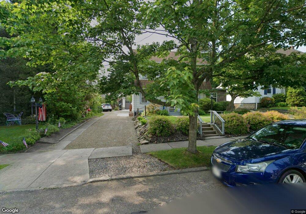
1032 Manor Rd New Kensington, PA 15068
Estimated Value: $66,860 - $203,000
--
Bed
--
Bath
1,503
Sq Ft
$97/Sq Ft
Est. Value
About This Home
This home is located at 1032 Manor Rd, New Kensington, PA 15068 and is currently estimated at $146,465, approximately $97 per square foot. 1032 Manor Rd is a home located in Westmoreland County with nearby schools including Mary Queen of Apostles School.
Ownership History
Date
Name
Owned For
Owner Type
Purchase Details
Closed on
Mar 6, 2002
Sold by
Brunn Robert C and Brunn Stephanie L
Bought by
Brunn Robert C and Brunn Stephanie L
Current Estimated Value
Home Financials for this Owner
Home Financials are based on the most recent Mortgage that was taken out on this home.
Original Mortgage
$59,250
Interest Rate
7.04%
Create a Home Valuation Report for This Property
The Home Valuation Report is an in-depth analysis detailing your home's value as well as a comparison with similar homes in the area
Home Values in the Area
Average Home Value in this Area
Purchase History
| Date | Buyer | Sale Price | Title Company |
|---|---|---|---|
| Brunn Robert C | -- | -- |
Source: Public Records
Mortgage History
| Date | Status | Borrower | Loan Amount |
|---|---|---|---|
| Closed | Brunn Robert C | $59,250 |
Source: Public Records
Tax History Compared to Growth
Tax History
| Year | Tax Paid | Tax Assessment Tax Assessment Total Assessment is a certain percentage of the fair market value that is determined by local assessors to be the total taxable value of land and additions on the property. | Land | Improvement |
|---|---|---|---|---|
| 2025 | $2,902 | $18,180 | $4,320 | $13,860 |
| 2024 | $2,875 | $18,180 | $4,320 | $13,860 |
| 2023 | $2,721 | $18,180 | $4,320 | $13,860 |
| 2022 | $2,416 | $16,650 | $4,320 | $12,330 |
| 2021 | $2,361 | $16,650 | $4,320 | $12,330 |
| 2020 | $2,311 | $16,650 | $4,320 | $12,330 |
| 2019 | $2,253 | $16,650 | $4,320 | $12,330 |
| 2018 | $2,219 | $16,650 | $4,320 | $12,330 |
| 2017 | $2,186 | $16,650 | $4,320 | $12,330 |
| 2016 | $2,186 | $16,650 | $4,320 | $12,330 |
| 2015 | $2,186 | $16,650 | $4,320 | $12,330 |
| 2014 | $2,100 | $16,650 | $4,320 | $12,330 |
Source: Public Records
Map
Nearby Homes
- 1024 Knollwood Rd
- 1719 Freeport Rd
- 1400 Orchard Ave
- 1741 Freeport Rd Unit U
- 1735 Kimball Ave
- 1717 Ridge Ave
- 533 Freeport Rd
- 1802 Kimball Ave
- 1308 Taylor Ave
- 1809 Kimball Ave
- 1520 Woodmont Ave
- 1312 Woodmont Ave
- 1407 Drey St Unit 29
- 1802 Alcoa Dr
- 1515 Woodmont Ave
- 1218 Woodmont Ave
- 1521 Victoria Ave
- 1240 Victoria Ave
- 2108 Hollingsworth St
- 1909 Woodmont Ave