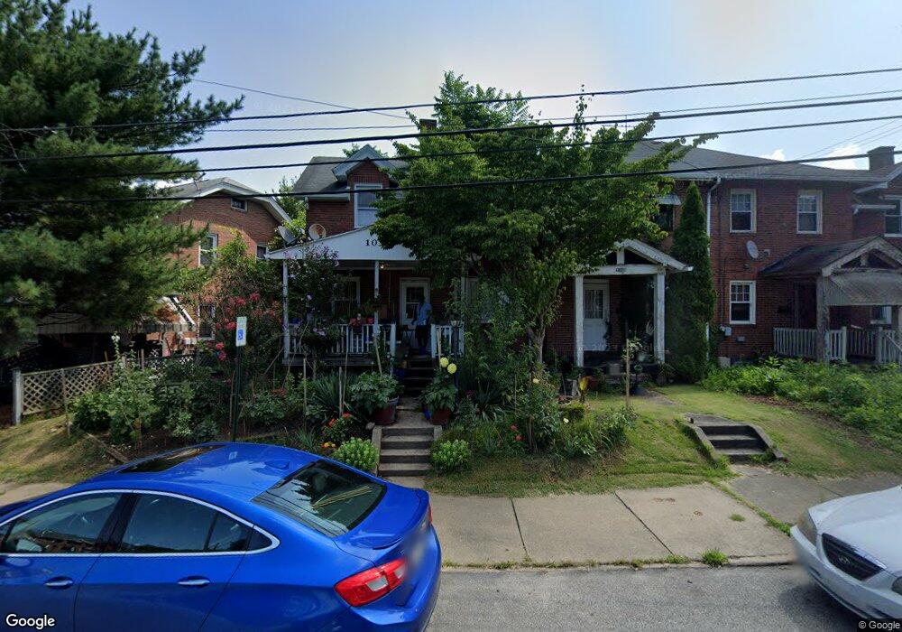
1032 N 6th St Clairton, PA 15025
Estimated Value: $28,000 - $59,000
2
Beds
1
Bath
912
Sq Ft
$51/Sq Ft
Est. Value
About This Home
This home is located at 1032 N 6th St, Clairton, PA 15025 and is currently estimated at $46,798, approximately $51 per square foot. 1032 N 6th St is a home located in Allegheny County with nearby schools including Clairton Elementary School, Clairton Middle School/High School, and Walnut Grove Christian School.
Ownership History
Date
Name
Owned For
Owner Type
Purchase Details
Closed on
Feb 6, 2020
Sold by
Novotny Margaret A and Novotny Charles R
Bought by
Coles Larry D
Current Estimated Value
Purchase Details
Closed on
Feb 14, 2000
Sold by
Novotny Barbara A and Novotny Ronald C
Bought by
Novotny Sharon M Quinn
Purchase Details
Closed on
Feb 24, 1999
Sold by
Shirley Robert L and Shirley Donna J
Bought by
Novotny Ronald C and Novotny Barbara A
Purchase Details
Closed on
Mar 24, 1995
Sold by
Urso Urso V and Urso Saundra A
Bought by
Shirley Robert L and Shirley Donna J
Purchase Details
Closed on
Jan 1, 1900
Create a Home Valuation Report for This Property
The Home Valuation Report is an in-depth analysis detailing your home's value as well as a comparison with similar homes in the area
Home Values in the Area
Average Home Value in this Area
Purchase History
| Date | Buyer | Sale Price | Title Company |
|---|---|---|---|
| Coles Larry D | $10,000 | Attnrney | |
| Novotny Sharon M Quinn | -- | -- | |
| Novotny Ronald C | $35,000 | -- | |
| Shirley Robert L | $30,000 | -- | |
| -- | -- | -- |
Source: Public Records
Tax History Compared to Growth
Tax History
| Year | Tax Paid | Tax Assessment Tax Assessment Total Assessment is a certain percentage of the fair market value that is determined by local assessors to be the total taxable value of land and additions on the property. | Land | Improvement |
|---|---|---|---|---|
| 2025 | $760 | $15,700 | $5,000 | $10,700 |
| 2024 | $799 | $15,700 | $5,000 | $10,700 |
| 2023 | $720 | $15,700 | $5,000 | $10,700 |
| 2022 | $720 | $15,700 | $5,000 | $10,700 |
| 2021 | $74 | $15,700 | $5,000 | $10,700 |
| 2020 | $715 | $15,700 | $5,000 | $10,700 |
| 2019 | $248 | $15,700 | $5,000 | $10,700 |
| 2018 | $74 | $15,700 | $5,000 | $10,700 |
| 2017 | $243 | $15,700 | $5,000 | $10,700 |
| 2016 | $74 | $15,700 | $5,000 | $10,700 |
| 2015 | $74 | $15,700 | $5,000 | $10,700 |
| 2014 | $74 | $15,700 | $5,000 | $10,700 |
Source: Public Records
Map
Nearby Homes
- 1019 Pennsylvania Ave
- 1017 Pennsylvania Ave
- 1045 Pennsylvania Ave
- 756 N 6th St
- 373 New York Ave
- 211 Pennsylvania Ave
- 574 State Route 885
- 717 N 6th St
- 811 N State St
- 1252 Wall Ave
- 132 Carnegie Ave
- 124 Carnegie Ave
- 534 State Route 885
- 203 Elm St
- 526 State Route 885
- 514 Walnut Ave
- 133 Coal Valley Rd
- 427 N 4th St
- 422 N 3rd St
- 220 Locust Ave
- 1030 N 6th St
- 1038 N 6th St
- 1028 N 6th St
- 1026 N 6th St
- 1040 N 6th St
- 1042 N 6th St
- 1037 N 6th St Unit 1023
- 1044 N 6th St
- 1035 N 6th St
- 1033 N 6th St
- 1024 N 6th St
- 1025 Pennsylvania Ave
- 613 Short St
- 1102 N 6th St
- 1013 Pennsylvania Ave
- 1021 N 6th St Unit 1021
- 1019-1037 N 6th St
- 1011 Pennsylvania Ave
- 1027 Pennsylvania Ave
- 1019 N 6th St