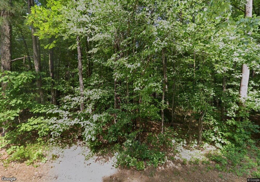
1032 Old Lystra Rd Unit 27514 Chapel Hill, NC 27517
Estimated Value: $970,000 - $1,105,000
4
Beds
3
Baths
4,726
Sq Ft
$223/Sq Ft
Est. Value
About This Home
This home is located at 1032 Old Lystra Rd Unit 27514, Chapel Hill, NC 27517 and is currently estimated at $1,053,252, approximately $222 per square foot. 1032 Old Lystra Rd Unit 27514 is a home located in Orange County with nearby schools including Scroggs Elementary School, Culbreth Middle School, and Carrboro High School.
Ownership History
Date
Name
Owned For
Owner Type
Purchase Details
Closed on
Jul 24, 2002
Sold by
Williams Robert Kent and Williams Sherilyn
Bought by
Cox Michael G and Cox Kathy W
Current Estimated Value
Home Financials for this Owner
Home Financials are based on the most recent Mortgage that was taken out on this home.
Original Mortgage
$300,700
Outstanding Balance
$127,111
Interest Rate
6.67%
Estimated Equity
$926,141
Create a Home Valuation Report for This Property
The Home Valuation Report is an in-depth analysis detailing your home's value as well as a comparison with similar homes in the area
Home Values in the Area
Average Home Value in this Area
Purchase History
| Date | Buyer | Sale Price | Title Company |
|---|---|---|---|
| Cox Michael G | $419,000 | -- |
Source: Public Records
Mortgage History
| Date | Status | Borrower | Loan Amount |
|---|---|---|---|
| Open | Cox Michael G | $300,700 |
Source: Public Records
Tax History Compared to Growth
Tax History
| Year | Tax Paid | Tax Assessment Tax Assessment Total Assessment is a certain percentage of the fair market value that is determined by local assessors to be the total taxable value of land and additions on the property. | Land | Improvement |
|---|---|---|---|---|
| 2025 | $7,780 | $860,400 | $361,100 | $499,300 |
| 2024 | $6,686 | $550,800 | $150,400 | $400,400 |
| 2023 | $6,538 | $550,800 | $150,400 | $400,400 |
| 2022 | $6,378 | $550,800 | $150,400 | $400,400 |
| 2021 | $6,121 | $538,800 | $150,400 | $388,400 |
| 2020 | $6,167 | $511,600 | $150,400 | $361,200 |
| 2018 | $6,042 | $511,600 | $150,400 | $361,200 |
| 2017 | $6,300 | $511,600 | $150,400 | $361,200 |
| 2016 | $6,300 | $520,702 | $170,421 | $350,281 |
| 2015 | $6,300 | $520,702 | $170,421 | $350,281 |
| 2014 | $6,202 | $520,702 | $170,421 | $350,281 |
Source: Public Records
Map
Nearby Homes
- 0 Old Lystra Rd Unit 10130514
- 216 Copper Beech Ct
- D Model - Building 5 Plan at South Creek
- J Model - Building 5 Plan at South Creek
- A Model - Building 5 Plan at South Creek
- H Model - Building 5 Plan at South Creek
- E Model - Building 5 Plan at South Creek
- B Model - Building 5 Plan at South Creek
- K Model - Building 5 Plan at South Creek
- F Model - Building 5 Plan at South Creek
- C Model - Building 5 Plan at South Creek
- G Model - Building 5 Plan at South Creek
- 112 Mallard Ct
- 122 Mallard Ct
- 1417 Poinsett Dr
- 112 Old Bridge Ln
- 125 Mallard Ct
- 104 Windorah Place
- 600 Copperline Dr Unit 103
- 302 Edgewater Cir
- 1100 Old Lystra Rd
- 1027 Hillside Dr
- 1001 Shady Nook Ct
- 0000 Shady Nook Ct
- 000 Shady Nook Ct
- 0 Shady Nook Ct Unit 1773590
- 00000 Shady Nook Ct
- 00 Shady Nook Ct
- 0 Shady Nook Ct Unit 1 TR1773590
- 000 Shady Nook Ct Unit 3
- 0000 Shady Nook Ct Unit 4
- 00 Shady Nook Ct Unit 2
- 00000 Shady Nook Ct Unit 5
- 0 Shady Nook Ct Unit 1
- 1001 Shady Nook Ct Unit 1
- 1021 Hillside Dr Unit C
- 1037 Hillside Dr
- 1010 Shady Nook Ct
- 1010 Shady Nook Ct Unit 4
- 1106 Old Lystra Rd
