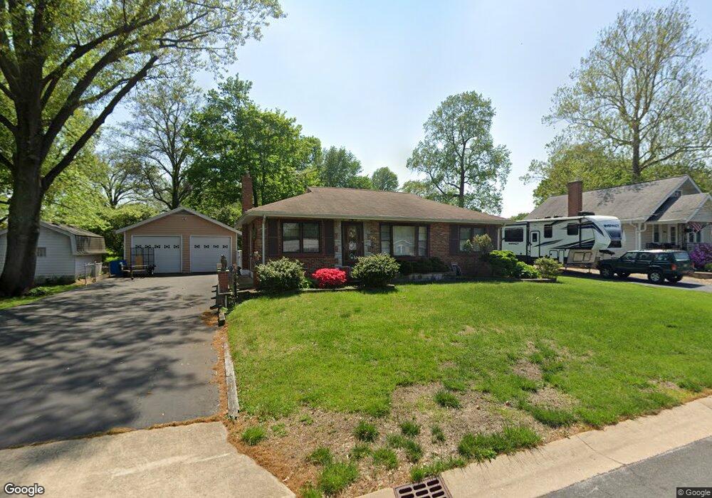
1032 Saint Antoine St Florissant, MO 63031
Estimated Value: $151,000 - $190,296
2
Beds
1
Bath
1,176
Sq Ft
$148/Sq Ft
Est. Value
About This Home
This home is located at 1032 Saint Antoine St, Florissant, MO 63031 and is currently estimated at $174,574, approximately $148 per square foot. 1032 Saint Antoine St is a home located in St. Louis County with nearby schools including Combs Elementary School, Cross Keys Middle School, and McCluer North High School.
Ownership History
Date
Name
Owned For
Owner Type
Purchase Details
Closed on
Apr 19, 2017
Sold by
Qualls Neil and Qualls Mary Virginia
Bought by
Qualls Boyce N and Qualls Mary V
Current Estimated Value
Purchase Details
Closed on
Sep 20, 2011
Sold by
Meyer Lawrence J and Meyer Gary R
Bought by
Qualls Boyce Neil and Qualls Mary Virginia
Purchase Details
Closed on
Oct 27, 1998
Sold by
Meyer Lawrence B
Bought by
Meyer Lawrence J and Meyer Gary R
Create a Home Valuation Report for This Property
The Home Valuation Report is an in-depth analysis detailing your home's value as well as a comparison with similar homes in the area
Home Values in the Area
Average Home Value in this Area
Purchase History
| Date | Buyer | Sale Price | Title Company |
|---|---|---|---|
| Qualls Boyce N | -- | None Available | |
| Qualls Boyce Neil | $92,450 | Investors Title Co Clayton | |
| Meyer Lawrence J | -- | -- |
Source: Public Records
Tax History Compared to Growth
Tax History
| Year | Tax Paid | Tax Assessment Tax Assessment Total Assessment is a certain percentage of the fair market value that is determined by local assessors to be the total taxable value of land and additions on the property. | Land | Improvement |
|---|---|---|---|---|
| 2025 | $2,233 | $31,830 | $5,000 | $26,830 |
| 2024 | $2,233 | $28,830 | $3,460 | $25,370 |
| 2023 | $2,225 | $28,830 | $3,460 | $25,370 |
| 2022 | $2,005 | $22,800 | $5,000 | $17,800 |
| 2021 | $1,971 | $22,800 | $5,000 | $17,800 |
| 2020 | $1,869 | $20,330 | $4,430 | $15,900 |
| 2019 | $1,832 | $20,330 | $4,430 | $15,900 |
| 2018 | $1,781 | $17,650 | $2,340 | $15,310 |
| 2017 | $1,771 | $17,650 | $2,340 | $15,310 |
| 2016 | $1,869 | $18,170 | $4,240 | $13,930 |
| 2015 | $1,881 | $18,170 | $4,240 | $13,930 |
| 2014 | $1,936 | $19,330 | $4,220 | $15,110 |
Source: Public Records
Map
Nearby Homes
- 1023 Saint Denis St
- 1090 Saint Joseph St
- 865 Boone St
- 1290 Saint Louis St
- 629 Aubuchon St
- 1130 Saint Francois St
- 1148 Boone St
- 1150 Clark St
- 1980 Parker Rd
- 1040 Bluefield Dr
- 1200 Bluefield Dr
- 940 Harrison St
- 1965 Saint Catherine St
- 43 Saint Celeste Dr
- 175 Clark St
- 13 Saint Celeste Dr
- 260 N Jefferson St
- 6 Redwood Dr
- 765 Pimlico Dr
- 1545 Bluefield Dr
- 1002 Saint Antoine St
- 855 N New Florissant Rd
- 840 Brown St
- 865 N New Florissant Rd
- 845 N New Florissant Rd
- 835 N New Florissant Rd
- 990 Saint Antoine St
- 1003 Saint Denis St
- 1065 Saint Antoine St
- 1045 Saint Antoine St
- 1025 Saint Antoine St
- 1085 Saint Antoine St
- 815 N New Florissant Rd
- 980 Saint Antoine St
- 985 Saint Denis St
- 1095 Saint Antoine St
- 983 Saint Antoine St
- 970 Saint Antoine St
- 965 Saint Denis St
- 860 N New Florissant Rd