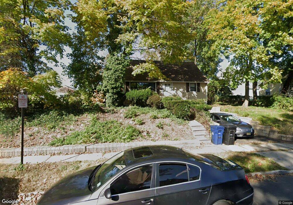
1032 W 4th St Unit 38 Plainfield, NJ 07063
Estimated Value: $321,561 - $408,000
--
Bed
--
Bath
1,152
Sq Ft
$331/Sq Ft
Est. Value
About This Home
This home is located at 1032 W 4th St Unit 38, Plainfield, NJ 07063 and is currently estimated at $381,390, approximately $331 per square foot. 1032 W 4th St Unit 38 is a home located in Union County with nearby schools including Clinton School, Hubbard Middle School, and Plainfield High School.
Ownership History
Date
Name
Owned For
Owner Type
Purchase Details
Closed on
Jun 27, 2003
Sold by
Clark Rodney
Bought by
Knight Dale
Current Estimated Value
Home Financials for this Owner
Home Financials are based on the most recent Mortgage that was taken out on this home.
Original Mortgage
$137,300
Outstanding Balance
$59,208
Interest Rate
5.45%
Mortgage Type
FHA
Estimated Equity
$322,182
Purchase Details
Closed on
Oct 27, 1999
Sold by
Mauldin Anthony and Mauldin Dessie
Bought by
Clark Rodney A
Purchase Details
Closed on
Jul 29, 1999
Sold by
Mccarthy Michael
Bought by
Smith Peter and Smith Karen
Create a Home Valuation Report for This Property
The Home Valuation Report is an in-depth analysis detailing your home's value as well as a comparison with similar homes in the area
Home Values in the Area
Average Home Value in this Area
Purchase History
| Date | Buyer | Sale Price | Title Company |
|---|---|---|---|
| Knight Dale | $139,500 | -- | |
| Clark Rodney A | $92,500 | -- | |
| Smith Peter | -- | -- |
Source: Public Records
Mortgage History
| Date | Status | Borrower | Loan Amount |
|---|---|---|---|
| Open | Knight Dale | $137,300 |
Source: Public Records
Tax History Compared to Growth
Tax History
| Year | Tax Paid | Tax Assessment Tax Assessment Total Assessment is a certain percentage of the fair market value that is determined by local assessors to be the total taxable value of land and additions on the property. | Land | Improvement |
|---|---|---|---|---|
| 2025 | $6,444 | $73,800 | $29,200 | $44,600 |
| 2024 | $6,381 | $73,800 | $29,200 | $44,600 |
| 2023 | $6,381 | $73,800 | $29,200 | $44,600 |
| 2022 | $6,243 | $73,800 | $29,200 | $44,600 |
| 2021 | $6,188 | $73,800 | $29,200 | $44,600 |
| 2020 | $6,170 | $73,800 | $29,200 | $44,600 |
| 2019 | $6,170 | $73,800 | $29,200 | $44,600 |
| 2018 | $6,041 | $73,800 | $29,200 | $44,600 |
| 2017 | $5,894 | $73,800 | $29,200 | $44,600 |
| 2016 | $5,773 | $73,800 | $29,200 | $44,600 |
| 2015 | $5,603 | $73,800 | $29,200 | $44,600 |
| 2014 | $5,451 | $73,800 | $29,200 | $44,600 |
Source: Public Records
Map
Nearby Homes
- 338 Manson Place Unit 40
- 318-20 Manson Place
- 325 Manson Place Unit 27
- 312 Monroe Ave Unit 14
- 318 Halsey St Unit 20
- 355 Bergen St
- 954 W 4th St
- 667 S 2nd St
- 962-64 W 6th St
- 950 W 6th St Unit 52
- 1637 S 2nd St
- 1222 W 3rd St Unit 24
- 1227 W 6th St
- 951 W Front St
- 20-22 Albert St
- 829 S 2nd St
- 1408 W 5th St
- 957 Myrtle Ave Unit 59
- 301 Grant Ave Unit 3
- 211 Grant Ave
- 341 Mcdowell St
- 346 Manson Place Unit 48
- 343 Mcdowell St Unit 45
- 350 Manson Place Unit 54
- 350-54 Manson Place
- 339 Mcdowell St
- 342 Manson Place Unit 44
- 1031 W 4th St
- 337 Mcdowell St
- 1033 W 4th St Unit 35
- 1037 W 4th St Unit 39
- 1041 W 4th St
- 1041 W 4th St Unit 2
- 1027 W 4th St Unit 29
- 334 Manson Place Unit 36
- 329 Mcdowell St Unit 31
- 1025 W 4th St
- 1101 W 4th St Unit 3
- 1023 W 4th St
- 330 Manson Place Unit 32