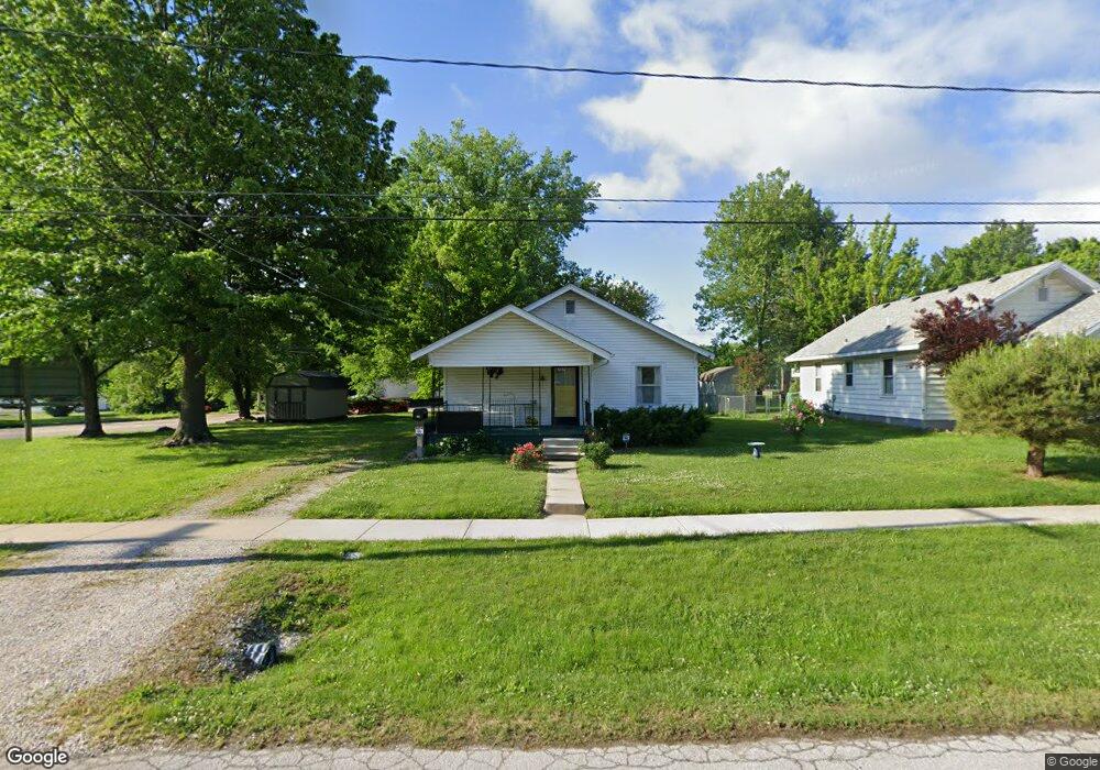
1032 W Pacific St Unit 1 & 2 Springfield, MO 65803
Woodland Heights NeighborhoodEstimated Value: $122,000 - $125,000
4
Beds
1
Bath
978
Sq Ft
$126/Sq Ft
Est. Value
About This Home
This home is located at 1032 W Pacific St Unit 1 & 2, Springfield, MO 65803 and is currently estimated at $123,333, approximately $126 per square foot. 1032 W Pacific St Unit 1 & 2 is a home located in Greene County with nearby schools including Weaver Elementary School, Pipkin Middle School, and Central High School.
Ownership History
Date
Name
Owned For
Owner Type
Purchase Details
Closed on
Nov 3, 2023
Sold by
Anderson Helen C
Bought by
R A L Property Management Llc
Current Estimated Value
Purchase Details
Closed on
Sep 18, 2019
Sold by
Conley John R and Conley Julia A
Bought by
Anderson Helen C
Home Financials for this Owner
Home Financials are based on the most recent Mortgage that was taken out on this home.
Original Mortgage
$2,690
Interest Rate
3.5%
Mortgage Type
Stand Alone Second
Purchase Details
Closed on
Feb 27, 2017
Sold by
Garrison Tuler Jill M and Tuler Kent
Bought by
Conley John R and Conley Julia A
Home Financials for this Owner
Home Financials are based on the most recent Mortgage that was taken out on this home.
Original Mortgage
$39,200
Interest Rate
4.12%
Mortgage Type
New Conventional
Create a Home Valuation Report for This Property
The Home Valuation Report is an in-depth analysis detailing your home's value as well as a comparison with similar homes in the area
Home Values in the Area
Average Home Value in this Area
Purchase History
| Date | Buyer | Sale Price | Title Company |
|---|---|---|---|
| R A L Property Management Llc | -- | None Listed On Document | |
| Anderson Helen C | -- | None Available | |
| Conley John R | -- | None Available |
Source: Public Records
Mortgage History
| Date | Status | Borrower | Loan Amount |
|---|---|---|---|
| Previous Owner | Anderson Helen C | $2,690 | |
| Previous Owner | Anderson Helen C | $67,258 | |
| Previous Owner | Conley John R | $39,200 |
Source: Public Records
Tax History
| Year | Tax Paid | Tax Assessment Tax Assessment Total Assessment is a certain percentage of the fair market value that is determined by local assessors to be the total taxable value of land and additions on the property. | Land | Improvement |
|---|---|---|---|---|
| 2025 | $611 | $12,260 | $2,490 | $9,770 |
| 2024 | $592 | $11,040 | $2,490 | $8,550 |
| 2023 | $0 | $11,040 | $2,490 | $8,550 |
| 2022 | $593 | $10,850 | $2,490 | $8,360 |
| 2021 | $592 | $10,850 | $2,490 | $8,360 |
| 2020 | $494 | $8,650 | $2,490 | $6,160 |
| 2019 | $480 | $8,650 | $2,490 | $6,160 |
| 2018 | $341 | $6,140 | $2,490 | $3,650 |
| 2017 | $337 | $6,180 | $2,490 | $3,690 |
| 2016 | $339 | $6,180 | $2,490 | $3,690 |
| 2015 | $336 | $6,180 | $2,490 | $3,690 |
| 2014 | $327 | $5,970 | $2,280 | $3,690 |
Source: Public Records
Map
Nearby Homes
- 1042 W Commercial St
- 1026 W Commercial St
- 1056 W Commercial St
- 1027 W Division St
- 1105 W Division St
- 1026 W Division St
- 944 W Division St
- 1447 N Broadway Ave
- 1450 N Broadway Ave
- 1225 W Florida St
- 1139 W Lynn St
- 1886 N Fort Ave
- 716 W Division St
- 1502 N Grant Ave
- 1863 N Grant Ave
- 1012 W Hamilton St
- 1896 N Douglas Ave
- 1120 W Hamilton St
- 1411 W Lynn St
- 1305 N Irving Ave
- 1032 W Pacific St
- 1038 W Pacific St
- 1100 W Pacific St
- 1621 N Franklin Ave
- 1106 W Pacific St
- 1032 W Commercial St
- 1021 W Locust St
- 1017 W Locust St
- 1023 W Pacific St
- 1107 W Locust St
- 1116 W Pacific St
- 1111 W Locust St
- 1007 W Locust St
- 1115 W Locust St
- 1101 W Pacific St
- 1117 W Pacific St
- 1127 W Locust St
- 000 W Locust Lot 39 St
- 1717 N Broadway Ave
- 1026 W Locust St
Your Personal Tour Guide
Ask me questions while you tour the home.