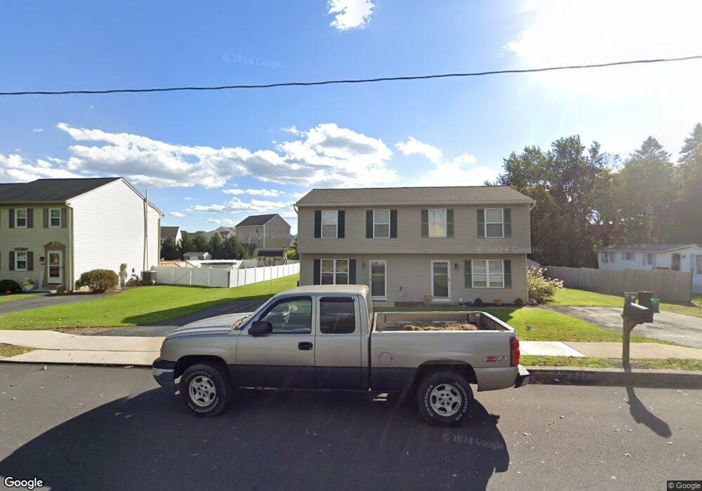
1032 Wood St Mount Joy, PA 17552
Estimated Value: $241,000 - $289,332
3
Beds
2
Baths
1,000
Sq Ft
$264/Sq Ft
Est. Value
About This Home
This home is located at 1032 Wood St, Mount Joy, PA 17552 and is currently estimated at $264,333, approximately $264 per square foot. 1032 Wood St is a home located in Lancaster County with nearby schools including Donegal Intermediate School, Donegal High School, and KELLY SCHOOL.
Ownership History
Date
Name
Owned For
Owner Type
Purchase Details
Closed on
Jun 26, 2000
Sold by
Bank United
Bought by
Thome Mark A and Thome Jodie L
Current Estimated Value
Home Financials for this Owner
Home Financials are based on the most recent Mortgage that was taken out on this home.
Original Mortgage
$80,317
Outstanding Balance
$29,289
Interest Rate
8.5%
Mortgage Type
FHA
Estimated Equity
$235,044
Purchase Details
Closed on
Jan 26, 2000
Sold by
Diaz Julian and Castro Emma
Bought by
Bank United and Bank United Of Texas Fsb
Create a Home Valuation Report for This Property
The Home Valuation Report is an in-depth analysis detailing your home's value as well as a comparison with similar homes in the area
Home Values in the Area
Average Home Value in this Area
Purchase History
| Date | Buyer | Sale Price | Title Company |
|---|---|---|---|
| Thome Mark A | $81,000 | -- | |
| Bank United | $3,257 | -- |
Source: Public Records
Mortgage History
| Date | Status | Borrower | Loan Amount |
|---|---|---|---|
| Open | Thome Mark A | $80,317 |
Source: Public Records
Tax History Compared to Growth
Tax History
| Year | Tax Paid | Tax Assessment Tax Assessment Total Assessment is a certain percentage of the fair market value that is determined by local assessors to be the total taxable value of land and additions on the property. | Land | Improvement |
|---|---|---|---|---|
| 2025 | $3,518 | $131,500 | $43,000 | $88,500 |
| 2024 | $3,518 | $131,500 | $43,000 | $88,500 |
| 2023 | $3,470 | $131,500 | $43,000 | $88,500 |
| 2022 | $3,416 | $131,500 | $43,000 | $88,500 |
| 2021 | $3,325 | $131,500 | $43,000 | $88,500 |
| 2020 | $3,325 | $131,500 | $43,000 | $88,500 |
| 2019 | $3,265 | $131,500 | $43,000 | $88,500 |
| 2018 | $2,260 | $131,500 | $43,000 | $88,500 |
| 2017 | $2,934 | $94,300 | $32,600 | $61,700 |
| 2016 | $2,934 | $94,300 | $32,600 | $61,700 |
| 2015 | $815 | $94,300 | $32,600 | $61,700 |
| 2014 | $1,947 | $94,300 | $32,600 | $61,700 |
Source: Public Records
Map
Nearby Homes
- 230 Lakeside Crossing
- Arundel Plan at Florin Hill
- Dundee Plan at Florin Hill - Single Family
- Arundel Plan at Florin Hill - Single Family
- Marlow Plan at Florin Hill - Single Family
- Elgin Plan at Florin Hill - Single Family
- Carter Plan at Florin Hill - Single Family
- Helston Plan at Florin Hill - Single Family
- Andover Plan at Florin Hill - Single Family
- Anders Plan at Florin Hill - Single Family
- Bromley Plan at Florin Hill - Single Family
- Darby Plan at Florin Hill - Single Family
- 104 Merchant Ave Unit MARLOW
- 104 Merchant Ave Unit CARTER
- 104 Merchant Ave Unit ANDOVER
- 104 Merchant Ave Unit BROMLEY
- 104 Merchant Ave Unit HELSTON
- 104 Merchant Ave Unit ANDERS
- 104 Merchant Ave Unit DARBY
- 104 Merchant Ave Unit 104
- 1026 Wood St
- 1036 Wood St
- 1022 Wood St
- 120 Lakeside Crossing Unit 126
- 120 Lakeside Crossing
- 118 Lakeside Crossing Unit 125
- 118 Lakeside Crossing
- 1046 Wood St
- 0 Lakeside Crossing
- 0 Lakeside Crossing Unit 195 1004560719
- 0 Lakeside Crossing Unit 199 1002279385
- 0 Lakeside Crossing Unit 198 1002289653
- 122 Lakeside Crossing Unit 127
- 116 Lakeside Crossing Unit 124
- 116 Lakeside Crossing
- 966 Wood St
- 1047 Wood St
- 240 Charlan Blvd
- 240 Charlan Blvd Unit 128
- 114 Lakeside Crossing