10320 Highway 601 Midland, NC 28107
Estimated Value: $576,000 - $1,033,869
4
Beds
5
Baths
3,159
Sq Ft
$256/Sq Ft
Est. Value
About This Home
This home is located at 10320 Highway 601, Midland, NC 28107 and is currently estimated at $808,717, approximately $256 per square foot. 10320 Highway 601 is a home located in Cabarrus County with nearby schools including Bethel Elementary School, C.C. Griffin Middle School, and Central Cabarrus High School.
Ownership History
Date
Name
Owned For
Owner Type
Purchase Details
Closed on
Nov 8, 2013
Sold by
Elsaghir Cherif Abdallah
Bought by
Elsaghir Cherif Abdallah and Elsaghir Mona A
Current Estimated Value
Purchase Details
Closed on
Apr 30, 1999
Sold by
Gordon Ray M
Bought by
Elsaghir Cherif Abdallah
Home Financials for this Owner
Home Financials are based on the most recent Mortgage that was taken out on this home.
Original Mortgage
$55,600
Interest Rate
7.06%
Mortgage Type
Purchase Money Mortgage
Create a Home Valuation Report for This Property
The Home Valuation Report is an in-depth analysis detailing your home's value as well as a comparison with similar homes in the area
Home Values in the Area
Average Home Value in this Area
Purchase History
| Date | Buyer | Sale Price | Title Company |
|---|---|---|---|
| Elsaghir Cherif Abdallah | -- | None Available | |
| Elsaghir Cherif Abdallah | $83,000 | -- |
Source: Public Records
Mortgage History
| Date | Status | Borrower | Loan Amount |
|---|---|---|---|
| Closed | Elsaghir Cherif Abdallah | $55,600 |
Source: Public Records
Tax History Compared to Growth
Tax History
| Year | Tax Paid | Tax Assessment Tax Assessment Total Assessment is a certain percentage of the fair market value that is determined by local assessors to be the total taxable value of land and additions on the property. | Land | Improvement |
|---|---|---|---|---|
| 2025 | $8,410 | $1,083,800 | $246,830 | $836,970 |
| 2024 | $8,410 | $1,083,800 | $246,830 | $836,970 |
| 2023 | $7,084 | $737,930 | $163,830 | $574,100 |
| 2022 | $7,084 | $737,930 | $163,830 | $574,100 |
| 2021 | $7,084 | $737,930 | $163,830 | $574,100 |
| 2020 | $7,862 | $818,910 | $163,830 | $655,080 |
| 2019 | $5,633 | $586,740 | $200,610 | $386,130 |
| 2018 | $5,398 | $586,740 | $200,610 | $386,130 |
| 2017 | $5,281 | $586,740 | $200,610 | $386,130 |
| 2016 | $5,281 | $579,920 | $217,330 | $362,590 |
| 2015 | $5,219 | $579,920 | $217,330 | $362,590 |
| 2014 | $5,219 | $579,920 | $217,330 | $362,590 |
Source: Public Records
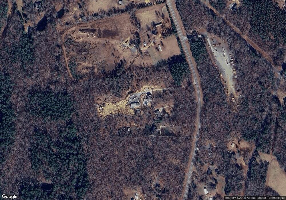
Map
Nearby Homes
- 10620 U S 601
- 4207 Amanda Dr
- 11060 Teresia Ln
- 10483 Troutman Rd
- 10130 Reed Mine Rd
- 11790 Thurber Place
- 4316 Tucker Chase Dr
- 11818 Paver Ln
- 11824 Paver Ln
- 10670 Troutman Rd
- 11055 Graybark Rd
- 4245 Wesley Dr
- 4200 Wesley Dr
- 10791 Hartsell Rd
- 10116 Robert Bost Rd
- 8629 Hayden Way
- 0000 Nc Hwy 24 27 None
- 4200 Nc Hwy 24 27 Hwy
- Plan 2074 at Midland Crossing
- Plan 3147 at Midland Crossing
- 10400 Highway 601
- 10420 Highway 601
- 10475 Highway 601
- 10150 Carriker Rd
- 10550 Highway 601
- 10550 Highway 601
- 10580 Highway 601
- 10100 Highway 601
- 10550 Mount Pleasant Rd S
- 10620 Highway 601
- 10275 Carriker Rd
- 10050 Highway 601
- 10050 Highway 601
- 10151 Carriker Rd
- 10325 Mount Pleasant Rd S
- 9855 Highway 601
- 10055 Jim Sossoman Rd
- 10000 Highway 601
- 10375 Jim Sossoman Rd
- 00 Mount Pleasant Rd