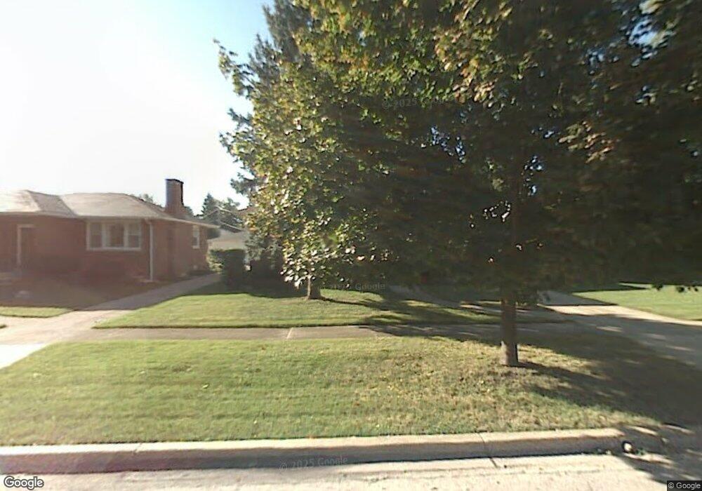
10321 Kipling St Westchester, IL 60154
Estimated Value: $302,000 - $362,000
3
Beds
1
Bath
1,120
Sq Ft
$295/Sq Ft
Est. Value
About This Home
This home is located at 10321 Kipling St, Westchester, IL 60154 and is currently estimated at $330,371, approximately $294 per square foot. 10321 Kipling St is a home located in Cook County with nearby schools including Westchester Primary School, Westchester Intermediate School, and Westchester Middle School.
Ownership History
Date
Name
Owned For
Owner Type
Purchase Details
Closed on
Jun 20, 2016
Sold by
Mikulis Joseph and Mikulis Brone
Bought by
Mikulis Joseph and Mikulis Brone
Current Estimated Value
Purchase Details
Closed on
Dec 14, 2015
Sold by
Mikulis Joseph and Mikulis Brone
Bought by
Mikulis Joseph and Mikulis Brone
Purchase Details
Closed on
May 7, 2007
Sold by
Mikulis Joseph
Bought by
Mikulis Joseph and Cummins Diana
Create a Home Valuation Report for This Property
The Home Valuation Report is an in-depth analysis detailing your home's value as well as a comparison with similar homes in the area
Home Values in the Area
Average Home Value in this Area
Purchase History
| Date | Buyer | Sale Price | Title Company |
|---|---|---|---|
| Mikulis Joseph | -- | Attorney | |
| Mikulis Joseph | -- | Attorney | |
| Mikulis Joseph | -- | Attorneys Title Guaranty Fun |
Source: Public Records
Tax History Compared to Growth
Tax History
| Year | Tax Paid | Tax Assessment Tax Assessment Total Assessment is a certain percentage of the fair market value that is determined by local assessors to be the total taxable value of land and additions on the property. | Land | Improvement |
|---|---|---|---|---|
| 2024 | $4,733 | $24,000 | $5,159 | $18,841 |
| 2023 | $1,115 | $24,000 | $5,159 | $18,841 |
| 2022 | $1,115 | $19,931 | $4,422 | $15,509 |
| 2021 | $1,051 | $19,931 | $4,422 | $15,509 |
| 2020 | $956 | $19,931 | $4,422 | $15,509 |
| 2019 | $1,035 | $19,429 | $4,053 | $15,376 |
| 2018 | $1,023 | $19,429 | $4,053 | $15,376 |
| 2017 | $1,021 | $19,429 | $4,053 | $15,376 |
| 2016 | $3,341 | $16,531 | $3,685 | $12,846 |
| 2015 | $3,465 | $16,531 | $3,685 | $12,846 |
| 2014 | $4,649 | $16,531 | $3,685 | $12,846 |
| 2013 | $1,575 | $18,178 | $3,685 | $14,493 |
Source: Public Records
Map
Nearby Homes
- 1247 S Mannheim Rd Unit 3
- 10524 Camelot St
- 10531 Camelot St
- 10072 Drury Ln
- 10567 Waterford Dr
- 1016 Hull Ave
- 1119 Newcastle Ave
- 920 Suffolk Ave
- 1811 Downing Ave
- 1500 Bristol Ave
- 723 Balmoral Ave
- 1433 Bristol Ave
- 1932 Newcastle Ave
- 1623 Manchester Ave
- 1860 Buckingham Ave
- 1601 Bristol Ave
- 814 Norfolk Ave
- 1907 Suffolk Ave
- 923 Manchester Ave
- 805 Norfolk Ave
- 10317 Kipling St
- 10327 Kipling St
- 10333 Kipling St
- 10311 Kipling St
- 10322 Dickens St
- 10328 Dickens St
- 10337 Kipling St
- 10312 Dickens St
- 10305 Kipling St
- 10332 Dickens St
- 10306 Dickens St
- 10318 Kipling St
- 10343 Kipling St
- 10312 Kipling St
- 10326 Kipling St
- 10326 Kipling St
- 10336 Dickens St
- 10265 Kipling St
- 10330 Kipling St
- 10308 Kipling St