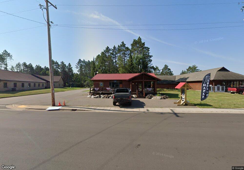
10321 Main St Boulder Junction, WI 54512
Estimated Value: $411,000 - $693,819
Studio
2
Baths
2,400
Sq Ft
$235/Sq Ft
Est. Value
About This Home
This home is located at 10321 Main St, Boulder Junction, WI 54512 and is currently estimated at $563,940, approximately $234 per square foot. 10321 Main St is a home located in Vilas County with nearby schools including North Lakeland Elementary School and Lakeland High School.
Ownership History
Date
Name
Owned For
Owner Type
Purchase Details
Closed on
Feb 28, 2018
Sold by
Hensley Hensley Joni L Joni L
Bought by
Seubert Michael J
Current Estimated Value
Home Financials for this Owner
Home Financials are based on the most recent Mortgage that was taken out on this home.
Original Mortgage
$136,000
Outstanding Balance
$115,587
Interest Rate
4.04%
Mortgage Type
New Conventional
Estimated Equity
$448,353
Purchase Details
Closed on
May 25, 2016
Sold by
Hensley Joni Lee and Hensley Joni
Bought by
Hensley Michael James and Hensley Joni Lee
Create a Home Valuation Report for This Property
The Home Valuation Report is an in-depth analysis detailing your home's value as well as a comparison with similar homes in the area
Purchase History
| Date | Buyer | Sale Price | Title Company |
|---|---|---|---|
| Seubert Michael J | $170,000 | Vilas Title Service Inc | |
| Hensley Michael James | -- | None Available |
Source: Public Records
Mortgage History
| Date | Status | Borrower | Loan Amount |
|---|---|---|---|
| Open | Seubert Michael J | $136,000 |
Source: Public Records
Tax History Compared to Growth
Tax History
| Year | Tax Paid | Tax Assessment Tax Assessment Total Assessment is a certain percentage of the fair market value that is determined by local assessors to be the total taxable value of land and additions on the property. | Land | Improvement |
|---|---|---|---|---|
| 2024 | $1,733 | $630,400 | $285,400 | $345,000 |
| 2023 | $1,530 | $630,400 | $285,400 | $345,000 |
| 2022 | $1,555 | $184,500 | $35,000 | $149,500 |
| 2021 | $1,539 | $184,500 | $35,000 | $149,500 |
| 2020 | $1,439 | $175,500 | $35,000 | $140,500 |
| 2019 | $1,463 | $175,500 | $35,000 | $140,500 |
| 2018 | $1,259 | $175,500 | $35,000 | $140,500 |
| 2017 | $1,195 | $175,500 | $35,000 | $140,500 |
| 2016 | $1,260 | $175,500 | $35,000 | $140,500 |
| 2015 | $1,360 | $175,500 | $35,000 | $140,500 |
| 2014 | $1,349 | $175,500 | $35,000 | $140,500 |
| 2013 | $1,602 | $223,500 | $65,000 | $158,500 |
Source: Public Records
Map
Nearby Homes
- 10411 Main St
- 10144 Wildwood Ln
- 10336 Headwaters Trail
- 9921 Arneders Ln
- 4868 Milo Tr
- 1247 Donald Dr
- 11337 Cagle Rd
- 2 acres Bobcat Rd
- ON Moonshine Valley Rd Unit 2AC
- ON Moonshine Valley Rd Unit 1.65 AC
- Lot #3 Yellow Birch Rd
- Lot 2 Dr Kate Trail
- Lot On Snowshoe Rd
- 9552a Snowshoe Rd
- 9552 Snowshoe Rd
- 9530 Snowshoe Rd
- Lot Blue Goose Rd
- Lot on Fallon Rd
- 7650 Annabelle Lake Rd
- 7748 Lone Pine Dr
