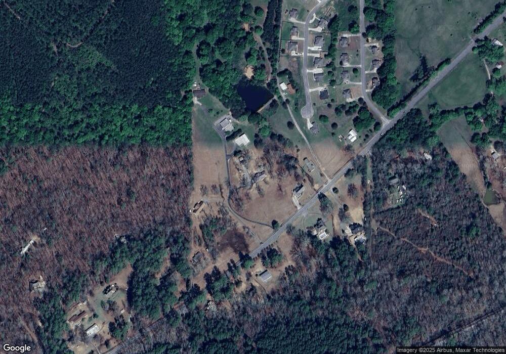
10321 Us Highway 11 Springville, AL 35146
Estimated Value: $261,000 - $334,000
--
Bed
1
Bath
1,760
Sq Ft
$172/Sq Ft
Est. Value
About This Home
This home is located at 10321 Us Highway 11, Springville, AL 35146 and is currently estimated at $303,038, approximately $172 per square foot. 10321 Us Highway 11 is a home located in St. Clair County with nearby schools including Springville Elementary School, Springville Middle School, and Springville High School.
Ownership History
Date
Name
Owned For
Owner Type
Purchase Details
Closed on
Jun 12, 2020
Sold by
Hand Terry L and Hand Robin I
Bought by
Campbell Andrew W
Current Estimated Value
Home Financials for this Owner
Home Financials are based on the most recent Mortgage that was taken out on this home.
Original Mortgage
$189,458
Outstanding Balance
$167,940
Interest Rate
3.2%
Mortgage Type
FHA
Estimated Equity
$135,098
Purchase Details
Closed on
Jan 25, 2007
Sold by
Isbell Janice S
Bought by
Isbell Janice S
Create a Home Valuation Report for This Property
The Home Valuation Report is an in-depth analysis detailing your home's value as well as a comparison with similar homes in the area
Home Values in the Area
Average Home Value in this Area
Purchase History
| Date | Buyer | Sale Price | Title Company |
|---|---|---|---|
| Campbell Andrew W | $196,000 | South Oak Ttl Trussville Llc | |
| Isbell Janice S | -- | None Available |
Source: Public Records
Mortgage History
| Date | Status | Borrower | Loan Amount |
|---|---|---|---|
| Open | Campbell Andrew W | $189,458 | |
| Closed | Campbell Andrew W | $189,458 |
Source: Public Records
Tax History Compared to Growth
Tax History
| Year | Tax Paid | Tax Assessment Tax Assessment Total Assessment is a certain percentage of the fair market value that is determined by local assessors to be the total taxable value of land and additions on the property. | Land | Improvement |
|---|---|---|---|---|
| 2024 | $1,005 | $45,810 | $3,480 | $42,330 |
| 2023 | $1,005 | $41,748 | $2,780 | $38,968 |
| 2022 | $599 | $20,874 | $1,390 | $19,484 |
| 2021 | $649 | $20,874 | $1,390 | $19,484 |
| 2020 | $649 | $17,623 | $1,386 | $16,237 |
| 2019 | $495 | $17,476 | $1,386 | $16,090 |
| 2018 | $402 | $14,520 | $0 | $0 |
| 2017 | $411 | $14,520 | $0 | $0 |
| 2016 | $402 | $14,520 | $0 | $0 |
| 2015 | $411 | $14,520 | $0 | $0 |
| 2014 | $411 | $14,820 | $0 | $0 |
Source: Public Records
Map
Nearby Homes
- 425 Stonewood Trail
- 40 Sulfur Springs Rd
- 5288 Highway 27
- 100 Braxton Place
- 25 Joabs Way
- 175 Grayton St
- 183 Grayton St
- 973 MacDonald Lake Rd
- 120 MacDonald Lake Rd
- 845 Redhawk Ridge
- 428 MacDonald Lake Rd
- 2005 Baxter Ave
- 65 Stonewood Ln
- 6178 Route 11
- 434 Mountain Dr
- 410 Gray Fox Rd Unit 20
- 325 Gray Fox Rd Unit 61
- 405 Gray Fox Rd Unit 21
- 80 Preserve Way
- 6555 Highway 174 Unit Tract 6
- 10321 Us Highway 11
- 10321 U S 11
- 10395 U S 11
- 10437 Us Highway 11
- 10437 Us Highway 11
- 10399 U S 11
- 10399 Us Highway 11
- 10255 Us Highway 11
- 10255 Us Highway 11
- 10396 U S 11
- 295 Cottage Ct
- 10396 Us Highway 11
- 10449 Us Highway 11
- 10449 U S 11
- 10400 U S 11
- 10400 Us Highway 11
- 275 Cottage Ct
- 265 Cottage Ct
- 55 Field Stone Ln
- 10462 Us Highway 11
