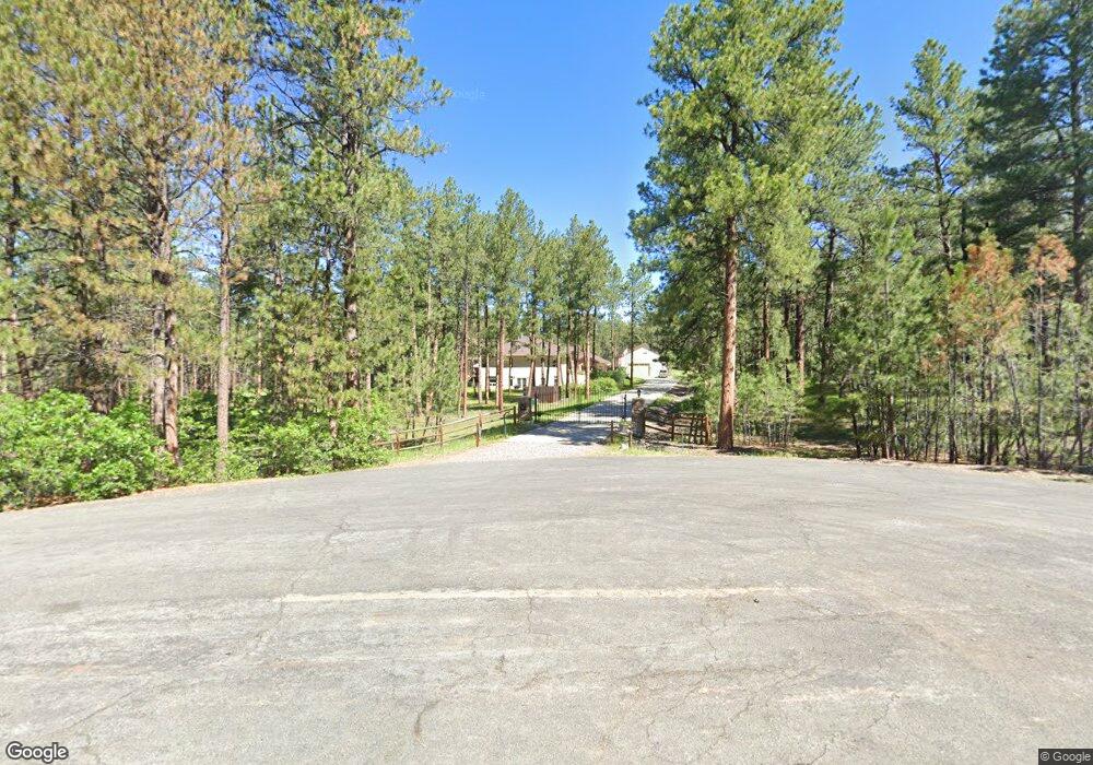
10327 Fawn Cir Franktown, CO 80116
Estimated Value: $1,514,000 - $1,935,000
5
Beds
5
Baths
7,156
Sq Ft
$239/Sq Ft
Est. Value
About This Home
This home is located at 10327 Fawn Cir, Franktown, CO 80116 and is currently estimated at $1,711,498, approximately $239 per square foot. 10327 Fawn Cir is a home located in Douglas County with nearby schools including Franktown Elementary School, Sagewood Middle School, and Ponderosa High School.
Ownership History
Date
Name
Owned For
Owner Type
Purchase Details
Closed on
Aug 16, 2018
Sold by
Swinney Roger A and Swinney Christine G
Bought by
Gross Robert D and Gross Carolyn M
Current Estimated Value
Home Financials for this Owner
Home Financials are based on the most recent Mortgage that was taken out on this home.
Original Mortgage
$850,000
Outstanding Balance
$738,191
Interest Rate
4.5%
Mortgage Type
New Conventional
Estimated Equity
$973,307
Purchase Details
Closed on
Jun 26, 2009
Sold by
Colorado Capital Bank
Bought by
Swinney Roger A and Swinney Christine G
Home Financials for this Owner
Home Financials are based on the most recent Mortgage that was taken out on this home.
Original Mortgage
$417,000
Interest Rate
4.97%
Mortgage Type
Purchase Money Mortgage
Purchase Details
Closed on
Apr 21, 2009
Sold by
Fawn Circle Llc
Bought by
Colorado Capital Bank
Purchase Details
Closed on
Dec 27, 2008
Sold by
Hansen Barry M and Hansen Cynthia Anne
Bought by
Fawn Circle Llc
Purchase Details
Closed on
Jul 27, 2007
Sold by
Hansen Barry M and Hansen Cynthia A
Bought by
Hansen Barry M and Hansen Cynthia A
Purchase Details
Closed on
Jul 9, 2007
Sold by
Fawn Circle Llc
Bought by
Hansen Barry M and Hansen Cynthia A
Purchase Details
Closed on
Apr 27, 2005
Sold by
Shaw Donald R
Bought by
Fawn Circle Llc
Home Financials for this Owner
Home Financials are based on the most recent Mortgage that was taken out on this home.
Original Mortgage
$192,000
Interest Rate
5.93%
Mortgage Type
Unknown
Purchase Details
Closed on
Mar 13, 2005
Sold by
Shaw Cynthia J
Bought by
Shaw Donald R
Home Financials for this Owner
Home Financials are based on the most recent Mortgage that was taken out on this home.
Original Mortgage
$192,000
Interest Rate
5.93%
Mortgage Type
Unknown
Purchase Details
Closed on
Mar 13, 1992
Sold by
Shaw Cynthia J
Bought by
Shaw Donald R
Purchase Details
Closed on
Dec 29, 1989
Sold by
Johnston Family Trust
Bought by
Shaw Donald R and Shaw Cynthia J
Purchase Details
Closed on
Sep 20, 1981
Sold by
Unavailable
Bought by
Unavailable
Create a Home Valuation Report for This Property
The Home Valuation Report is an in-depth analysis detailing your home's value as well as a comparison with similar homes in the area
Home Values in the Area
Average Home Value in this Area
Purchase History
| Date | Buyer | Sale Price | Title Company |
|---|---|---|---|
| Gross Robert D | $1,200,000 | Colorado Escrow & Title | |
| Swinney Roger A | $649,000 | Security Title | |
| Colorado Capital Bank | -- | None Available | |
| Fawn Circle Llc | -- | None Available | |
| Hansen Barry M | -- | None Available | |
| Hansen Barry M | -- | None Available | |
| Fawn Circle Llc | $240,000 | Land Title | |
| Shaw Donald R | -- | -- | |
| Shaw Donald R | -- | Land Title | |
| Shaw Donald R | $45,000 | -- | |
| Unavailable | $31,000 | -- |
Source: Public Records
Mortgage History
| Date | Status | Borrower | Loan Amount |
|---|---|---|---|
| Open | Gross Robert D | $850,000 | |
| Previous Owner | Swinney Roger A | $417,000 | |
| Previous Owner | Fawn Circle Llc | $192,000 |
Source: Public Records
Tax History Compared to Growth
Tax History
| Year | Tax Paid | Tax Assessment Tax Assessment Total Assessment is a certain percentage of the fair market value that is determined by local assessors to be the total taxable value of land and additions on the property. | Land | Improvement |
|---|---|---|---|---|
| 2024 | $9,932 | $118,920 | $35,830 | $83,090 |
| 2023 | $10,043 | $118,920 | $35,830 | $83,090 |
| 2022 | $6,869 | $82,050 | $24,370 | $57,680 |
| 2021 | $7,120 | $82,050 | $24,370 | $57,680 |
| 2020 | $6,083 | $71,740 | $20,310 | $51,430 |
| 2019 | $6,112 | $71,740 | $20,310 | $51,430 |
| 2018 | $5,500 | $63,420 | $16,670 | $46,750 |
| 2017 | $4,539 | $63,420 | $16,670 | $46,750 |
| 2016 | $4,955 | $68,120 | $15,200 | $52,920 |
| 2015 | $5,067 | $68,120 | $15,200 | $52,920 |
| 2014 | $4,600 | $59,010 | $9,150 | $49,860 |
Source: Public Records
Map
Nearby Homes
- 10525 Wild Fox Place
- 230 S Big Meadow Trail
- 720 N Bluff Dr
- 11008 Sunset Oaks Place
- 11011 Sunset Oaks
- 9142 Warriors Mark Dr
- 11044 Conestoga Place
- 9162 Warriors Mark Dr
- 11584 E State Highway 86
- 104 Bill Davis Rd
- 1579 Deerpath Rd
- 1750 Arrowpoint Ct
- 1721 Arrowpoint Ct
- 1724 Arrowpoint Ct
- 1730 Ward Cir
- 856 Woodridge Rd
- 8987 Village Pines Cir
- 8788 E Tanglewood Rd
- 2130 Frontier Ln
- 1559 Apex Rd
- 10281 Fawn Cir Unit 1
- 380 Doe Cir
- 437 S White Tail Dr
- 457 S White Tail Dr
- 10340 Fawn Cir
- 10290 Fawn Cir
- 417 Doe Cir
- 479 S White Tail Dr
- 155 S White Tail Dr
- 468 Doe Cir
- 499 S White Tail Dr
- 369 Doe Cir
- 434 S White Tail Dr
- 194 S White Tail Dr
- 476 S White Tail Dr Unit 1
- 123 S White Tail Dr
- 263 S White Tail Dr
- 10150 Deerfield Rd
- 305 S White Tail Dr
- 138 S White Tail Dr