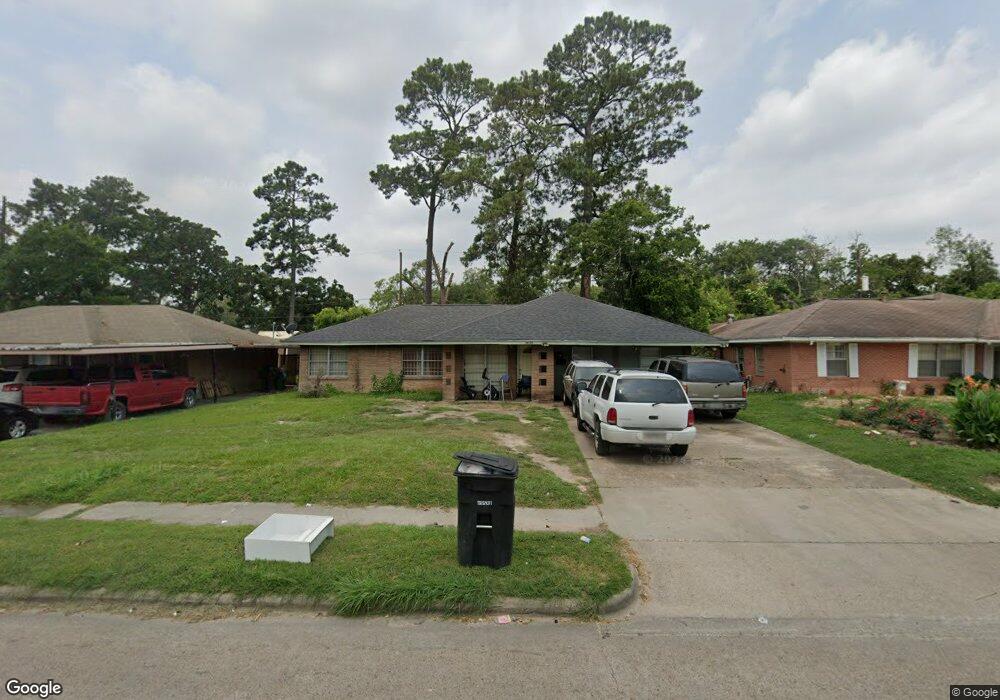
10327 Homestead Rd Houston, TX 77016
East Little York NeighborhoodEstimated Value: $156,000 - $187,000
3
Beds
1
Bath
1,622
Sq Ft
$104/Sq Ft
Est. Value
About This Home
This home is located at 10327 Homestead Rd, Houston, TX 77016 and is currently estimated at $169,014, approximately $104 per square foot. 10327 Homestead Rd is a home located in Harris County with nearby schools including Shadydale Elementary School, Forest Brook Middle, and North Forest High School.
Ownership History
Date
Name
Owned For
Owner Type
Purchase Details
Closed on
Aug 9, 2012
Sold by
Aspen Shackleton Iii Llc
Bought by
Powers Enterprises
Current Estimated Value
Purchase Details
Closed on
Mar 6, 2012
Sold by
Fuller Dewayne and Fuller Paulette
Bought by
Shackleton Aspen
Purchase Details
Closed on
Apr 13, 1997
Sold by
Mayhon John Curtis
Bought by
Fuller Dewayne and Fuller Paulette
Create a Home Valuation Report for This Property
The Home Valuation Report is an in-depth analysis detailing your home's value as well as a comparison with similar homes in the area
Home Values in the Area
Average Home Value in this Area
Purchase History
| Date | Buyer | Sale Price | Title Company |
|---|---|---|---|
| Powers Enterprises | -- | None Available | |
| Shackleton Aspen | $55,000 | None Available | |
| Fuller Dewayne | -- | -- |
Source: Public Records
Mortgage History
| Date | Status | Borrower | Loan Amount |
|---|---|---|---|
| Closed | Fuller Dewayne | $0 |
Source: Public Records
Tax History Compared to Growth
Tax History
| Year | Tax Paid | Tax Assessment Tax Assessment Total Assessment is a certain percentage of the fair market value that is determined by local assessors to be the total taxable value of land and additions on the property. | Land | Improvement |
|---|---|---|---|---|
| 2025 | $3,044 | $140,154 | $56,095 | $84,059 |
| 2024 | $3,044 | $145,474 | $39,596 | $105,878 |
| 2023 | $3,044 | $143,317 | $39,596 | $103,721 |
| 2022 | $3,071 | $139,477 | $39,596 | $99,881 |
| 2021 | $2,599 | $111,493 | $26,398 | $85,095 |
| 2020 | $2,280 | $94,161 | $17,818 | $76,343 |
| 2019 | $1,872 | $73,978 | $11,285 | $62,693 |
| 2018 | $1,513 | $59,773 | $11,285 | $48,488 |
| 2017 | $1,511 | $59,773 | $11,285 | $48,488 |
| 2016 | $1,422 | $56,246 | $11,285 | $44,961 |
| 2015 | $1,163 | $53,706 | $11,285 | $42,421 |
| 2014 | $1,163 | $45,242 | $11,285 | $33,957 |
Source: Public Records
Map
Nearby Homes
- 10317 Kelburn Dr
- 7210 Colton St
- 10430 Royal Oaks Dr
- 7226 Gore Dr
- 10201 Homestead Rd
- 10128 Homestead Rd
- 10806 Bird of Paradise Ln
- 10808 Bird of Paradise Ln
- 10810 Bird of Paradise Ln
- 10124 Homestead Rd
- 10122 Rockaway Dr
- 10120 Homestead Rd
- 10221 Bretton Dr
- 7234 Boggess Rd
- 10434 Envoy St
- 10526 Hollyglen Dr
- 10538 Royal Oaks Dr
- 10535 Hollyglen Dr
- 10313 Blades St
- 6001 Bretshire Dr
- 10323 Homestead Rd
- 10331 Homestead Rd
- 10326 Rockaway Dr
- 10319 Homestead Rd
- 10330 Rockaway Dr
- 10322 Rockaway Dr
- 10335 Homestead Rd
- 10318 Rockaway Dr
- 10334 Rockaway Dr
- 10315 Homestead Rd
- 10403 Homestead Rd
- 10330 Homestead Rd
- 10314 Rockaway Dr
- 10326 Homestead Rd
- 10402 Rockaway Dr
- 10334 Homestead Rd
- 10322 Homestead Rd
- 10311 Homestead Rd
- 10338 Homestead Rd
- 10407 Homestead Rd