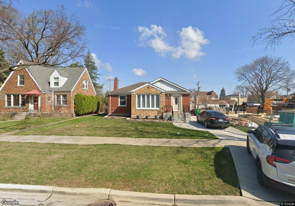
10328 Wight St Westchester, IL 60154
Estimated Value: $290,000 - $379,000
3
Beds
2
Baths
1,126
Sq Ft
$300/Sq Ft
Est. Value
About This Home
This home is located at 10328 Wight St, Westchester, IL 60154 and is currently estimated at $337,606, approximately $299 per square foot. 10328 Wight St is a home located in Cook County with nearby schools including Westchester Primary School, Westchester Intermediate School, and Westchester Middle School.
Ownership History
Date
Name
Owned For
Owner Type
Purchase Details
Closed on
Apr 30, 2004
Sold by
Canfarelli Josephine M and Canfarelli Angela R
Bought by
Caprio Mary Ann
Current Estimated Value
Home Financials for this Owner
Home Financials are based on the most recent Mortgage that was taken out on this home.
Original Mortgage
$189,050
Outstanding Balance
$79,213
Interest Rate
4%
Mortgage Type
Unknown
Estimated Equity
$258,393
Create a Home Valuation Report for This Property
The Home Valuation Report is an in-depth analysis detailing your home's value as well as a comparison with similar homes in the area
Home Values in the Area
Average Home Value in this Area
Purchase History
| Date | Buyer | Sale Price | Title Company |
|---|---|---|---|
| Caprio Mary Ann | $199,000 | Multiple |
Source: Public Records
Mortgage History
| Date | Status | Borrower | Loan Amount |
|---|---|---|---|
| Open | Caprio Mary Ann | $189,050 |
Source: Public Records
Tax History Compared to Growth
Tax History
| Year | Tax Paid | Tax Assessment Tax Assessment Total Assessment is a certain percentage of the fair market value that is determined by local assessors to be the total taxable value of land and additions on the property. | Land | Improvement |
|---|---|---|---|---|
| 2024 | $6,478 | $28,000 | $5,285 | $22,715 |
| 2023 | $5,053 | $28,000 | $5,285 | $22,715 |
| 2022 | $5,053 | $19,984 | $4,530 | $15,454 |
| 2021 | $4,918 | $19,984 | $4,530 | $15,454 |
| 2020 | $4,871 | $19,984 | $4,530 | $15,454 |
| 2019 | $4,962 | $20,995 | $4,152 | $16,843 |
| 2018 | $4,896 | $20,995 | $4,152 | $16,843 |
| 2017 | $4,818 | $20,995 | $4,152 | $16,843 |
| 2016 | $4,552 | $18,106 | $3,775 | $14,331 |
| 2015 | $4,458 | $18,106 | $3,775 | $14,331 |
| 2014 | $4,370 | $18,106 | $3,775 | $14,331 |
| 2013 | $4,296 | $19,721 | $3,775 | $15,946 |
Source: Public Records
Map
Nearby Homes
- 1803 Balmoral Ave
- 1908 Belleview Ave
- 10567 Waterford Dr
- 10531 Camelot St
- 10524 Camelot St
- 1847 Newcastle Ave
- 1318 Balmoral Ave
- 10461 Dorchester St
- 1406 Portsmouth Ave
- 1245 S Mannheim Rd Unit 2
- 1247 S Mannheim Rd Unit 3
- 1811 Downing Ave
- 1860 Buckingham Ave
- 1921 Buckingham Ave
- 1540 Norfolk Ave
- 10324 Wright St
- 1244 Westchester Blvd
- 1907 Suffolk Ave
- 1816 Manchester Ave
- 1900 Manchester Ave
- 10334 Wight St
- 10320 Wight St
- 10316 Wight St
- 10337 Canterbury St
- 10323 Canterbury St Unit 1
- 10323 Canterbury St Unit 2
- 10310 Wight St
- 10333 Wight St
- 10333 Wight St
- 10339 Wight St
- 10325 Wight St
- 10345 Wight St
- 10304 Wight St
- 10317 Canterbury St
- 10317 Canterbury St Unit 1
- 10317 Canterbury St Unit 2
- 10311 Canterbury St
- 10311 Canterbury St Unit 1