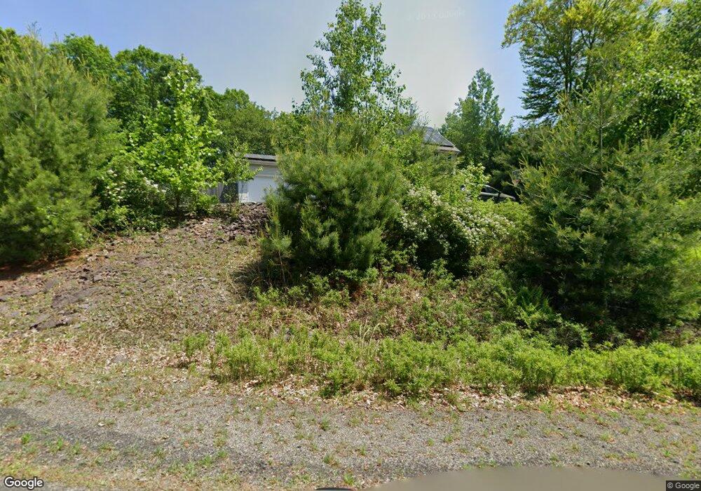
1033 Bear Swamp Rd East Stroudsburg, PA 18302
Estimated Value: $443,774 - $523,000
3
Beds
3
Baths
2,494
Sq Ft
$190/Sq Ft
Est. Value
About This Home
This home is located at 1033 Bear Swamp Rd, East Stroudsburg, PA 18302 and is currently estimated at $473,444, approximately $189 per square foot. 1033 Bear Swamp Rd is a home located in Monroe County with nearby schools including East Stroudsburg Elementary School, J.T. Lambert Intermediate School, and East Stroudsburg Senior High School South.
Ownership History
Date
Name
Owned For
Owner Type
Purchase Details
Closed on
Sep 14, 2009
Sold by
Kal Tac Inc
Bought by
Domboroczky Anthony and Domboroczky Erika
Current Estimated Value
Home Financials for this Owner
Home Financials are based on the most recent Mortgage that was taken out on this home.
Original Mortgage
$203,400
Outstanding Balance
$133,630
Interest Rate
5.28%
Mortgage Type
New Conventional
Estimated Equity
$339,814
Create a Home Valuation Report for This Property
The Home Valuation Report is an in-depth analysis detailing your home's value as well as a comparison with similar homes in the area
Home Values in the Area
Average Home Value in this Area
Purchase History
| Date | Buyer | Sale Price | Title Company |
|---|---|---|---|
| Domboroczky Anthony | $226,000 | None Available |
Source: Public Records
Mortgage History
| Date | Status | Borrower | Loan Amount |
|---|---|---|---|
| Open | Domboroczky Anthony | $203,400 |
Source: Public Records
Tax History Compared to Growth
Tax History
| Year | Tax Paid | Tax Assessment Tax Assessment Total Assessment is a certain percentage of the fair market value that is determined by local assessors to be the total taxable value of land and additions on the property. | Land | Improvement |
|---|---|---|---|---|
| 2025 | $1,693 | $264,990 | $45,720 | $219,270 |
| 2024 | $1,269 | $264,990 | $45,720 | $219,270 |
| 2023 | $9,192 | $264,990 | $45,720 | $219,270 |
| 2022 | $9,319 | $264,990 | $45,720 | $219,270 |
| 2021 | $9,173 | $264,990 | $45,720 | $219,270 |
| 2020 | $8,876 | $264,990 | $45,720 | $219,270 |
| 2019 | $8,263 | $40,810 | $7,000 | $33,810 |
| 2018 | $8,263 | $40,660 | $7,000 | $33,660 |
| 2017 | $8,263 | $40,660 | $7,000 | $33,660 |
| 2016 | $7,836 | $40,660 | $7,000 | $33,660 |
| 2015 | -- | $40,660 | $7,000 | $33,660 |
| 2014 | -- | $40,660 | $7,000 | $33,660 |
Source: Public Records
Map
Nearby Homes
- 21 Deer Path
- 0 Deer Path
- 84 Lenape Dr
- Lot 31 & 32 Lenape Dr
- Lot18 Lenape Dr
- Lot 36 Lenape Dr
- Lot 17 Footprint Rd
- 237 Footprint Rd
- 430 Indian Way
- 0 Way
- 0 Lenape Dr Unit Lot 31 & 32 763518
- 529 Highland Dr
- 28 Lenape Dr
- 53 Barren Rd
- 0 Lace Dr 24 Dr
- 0 Green Meadow Dr
- Lot 24 Green Meadow Dr
- 30 Ledgewood Ct
- 1136 Sierra Trail
- 630 Wooddale Rd
- 1029 Bear Swamp Rd
- 1037 Bear Swamp Rd
- 1025 Bear Swamp Rd
- 1048 Bear Swamp Rd
- 1021 Bear Swamp Rd
- 221 Buck Rd
- 1039 Bear Swamp Rd
- 217 Buck Rd
- 1044 Bear Swamp Rd
- 1056 Bear Swamp Rd
- 1064 Bear Swamp Rd
- 213 Buck Rd
- 1017 Bear Swamp Rd
- 1068 Bear Swamp Rd
- 1040 Bear Swamp Rd
- 1063 Bear Swamp Rd
- 1013 Bear Swamp Rd
- 1072 Bear Swamp Rd
- 1067 Bear Swamp Rd
- 1036 Bear Swamp Rd
