1033 Brandon Ln Honaker, VA 24260
Estimated Value: $167,000 - $394,395
4
Beds
2
Baths
1,848
Sq Ft
$138/Sq Ft
Est. Value
About This Home
This home is located at 1033 Brandon Ln, Honaker, VA 24260 and is currently estimated at $255,099, approximately $138 per square foot. 1033 Brandon Ln is a home located in Russell County with nearby schools including Honaker Elementary School, Swords Creek Elementary School, and Givens Elementary School.
Ownership History
Date
Name
Owned For
Owner Type
Purchase Details
Closed on
May 14, 2020
Sold by
Keen James D and Keen Patricia
Bought by
Keen James
Current Estimated Value
Purchase Details
Closed on
Jan 24, 2014
Sold by
Perkins Agnes V
Bought by
Keen James D and Keen Patricia
Home Financials for this Owner
Home Financials are based on the most recent Mortgage that was taken out on this home.
Original Mortgage
$75,000
Interest Rate
4.4%
Mortgage Type
Future Advance Clause Open End Mortgage
Create a Home Valuation Report for This Property
The Home Valuation Report is an in-depth analysis detailing your home's value as well as a comparison with similar homes in the area
Purchase History
| Date | Buyer | Sale Price | Title Company |
|---|---|---|---|
| Keen James | -- | None Listed On Document | |
| Keen James D | $125,000 | None Available |
Source: Public Records
Mortgage History
| Date | Status | Borrower | Loan Amount |
|---|---|---|---|
| Previous Owner | Keen James D | $75,000 |
Source: Public Records
Tax History
| Year | Tax Paid | Tax Assessment Tax Assessment Total Assessment is a certain percentage of the fair market value that is determined by local assessors to be the total taxable value of land and additions on the property. | Land | Improvement |
|---|---|---|---|---|
| 2025 | $1,580 | $272,800 | $133,100 | $139,700 |
| 2024 | $1,301 | $206,500 | $105,300 | $101,200 |
| 2023 | $1,301 | $206,500 | $105,300 | $101,200 |
| 2022 | $961 | $206,500 | $105,300 | $101,200 |
| 2021 | $961 | $206,500 | $105,300 | $101,200 |
| 2020 | $1,301 | $206,500 | $105,300 | $101,200 |
| 2019 | $961 | $206,500 | $105,300 | $101,200 |
| 2018 | $1,013 | $160,800 | $51,400 | $109,400 |
| 2017 | $1,013 | $160,800 | $51,400 | $109,400 |
| 2016 | $1,013 | $258,100 | $105,300 | $152,800 |
| 2015 | -- | $214,700 | $105,300 | $109,400 |
| 2012 | -- | $150,300 | $55,500 | $94,800 |
Source: Public Records
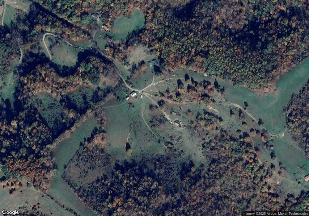
Map
Nearby Homes
- 343 Swords Creek Rd
- 43 Redwood Dr
- 103 Clearview Dr
- 81 Redwood Dr
- TBD Drill Rd
- 116 Redwood Dr
- 171 Crestwood Dr
- TBD Thompson Creek Rd
- 152 Country Oaks Dr
- 763 Redbud Hwy
- 384 Sunset Rd
- 568 Oak Circle Dr
- 10158 River Mountain Rd
- 254 Mcfarlane Ln
- TBD Romans Ridge Rd
- 8857 Redbud Hwy
- 483 Long Branch
- TBD Sugar Run Rd
- 1354 Franks Hollow Rd
- TBD Summitt Dr
- 273 Haskew Ball Dr
- 2233 Cedar Cliff Rd
- 645 Brandon Ln
- 2317 Cedar Cliff Rd
- 163 Mustang Dr
- 2371 Cedar Cliff Rd
- 142 Haskew Ball Dr
- 134 Brandon Ln
- 2397 Cedar Cliff Rd
- 2448 Cedar Cliff Rd
- 3485 Cedar Cliff Rd
- 4957 Cedar Cliff Rd
- 28 Haskew Ball Dr
- 2475 Cedar Cliff Rd
- 3481 Cedar Cliff Rd
- 161 Mustang Dr
- 507 Brandon Ln
- 101 Lance Dr
- 3295 Cedar Cliff Rd
- 98 Lance Dr
Your Personal Tour Guide
Ask me questions while you tour the home.