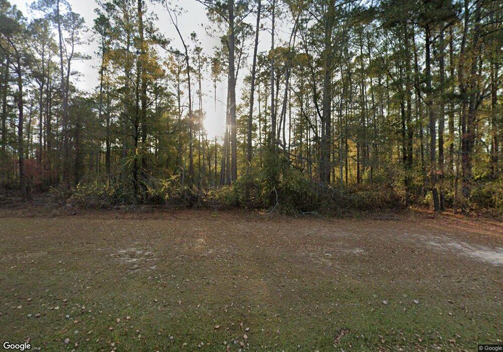
1033 Cedar Rock Rd Thomson, GA 30824
Estimated Value: $294,000 - $342,253
3
Beds
2
Baths
2,222
Sq Ft
$142/Sq Ft
Est. Value
About This Home
This home is located at 1033 Cedar Rock Rd, Thomson, GA 30824 and is currently estimated at $315,418, approximately $141 per square foot. 1033 Cedar Rock Rd is a home located in McDuffie County with nearby schools including Thomson High School.
Ownership History
Date
Name
Owned For
Owner Type
Purchase Details
Closed on
Dec 31, 2020
Sold by
Tayhar Properties Llc
Bought by
Kent Karen Hunt
Current Estimated Value
Purchase Details
Closed on
Feb 11, 2011
Sold by
Williams Karen H
Bought by
Tayhar Properties Llc
Purchase Details
Closed on
Jan 24, 2007
Sold by
Hunt Dorothy K
Bought by
Hunt W E
Purchase Details
Closed on
Jul 10, 1986
Bought by
Hunt W E
Create a Home Valuation Report for This Property
The Home Valuation Report is an in-depth analysis detailing your home's value as well as a comparison with similar homes in the area
Home Values in the Area
Average Home Value in this Area
Purchase History
| Date | Buyer | Sale Price | Title Company |
|---|---|---|---|
| Kent Karen Hunt | -- | -- | |
| Tayhar Properties Llc | -- | -- | |
| Hunt W E | -- | -- | |
| Hunt W E | $15,100 | -- |
Source: Public Records
Tax History
| Year | Tax Paid | Tax Assessment Tax Assessment Total Assessment is a certain percentage of the fair market value that is determined by local assessors to be the total taxable value of land and additions on the property. | Land | Improvement |
|---|---|---|---|---|
| 2025 | $2,980 | $124,080 | $17,322 | $106,758 |
| 2024 | $2,980 | $117,123 | $15,605 | $101,518 |
| 2023 | $2,858 | $112,885 | $15,605 | $97,280 |
| 2022 | $2,626 | $97,792 | $15,605 | $82,187 |
| 2021 | $2,200 | $79,864 | $15,151 | $64,713 |
| 2020 | $2,146 | $76,117 | $18,378 | $57,739 |
| 2019 | $2,169 | $76,117 | $18,378 | $57,739 |
| 2018 | $2,169 | $76,117 | $18,378 | $57,739 |
| 2017 | $2,008 | $73,052 | $18,378 | $54,674 |
| 2016 | $2,008 | $73,052 | $18,378 | $54,674 |
| 2015 | $2,140 | $85,459 | $14,672 | $70,787 |
| 2014 | $2,396 | $95,490 | $14,672 | $80,818 |
| 2013 | -- | $95,490 | $14,672 | $80,818 |
Source: Public Records
Map
Nearby Homes
- 325 Bordeaux Dr
- 599 Twin Oaks Rd
- 615 Hemlock Dr
- 811 Frances Dr
- 640 Dogwood Dr
- 609 Main St
- 1288 Wrightsboro Rd
- 124 West St
- 0 Martin Luther King Junior St
- 204 W Hall St
- 211 Deans Aly
- 212 Whitehead St
- 641 Ellington Ave
- 125 Lee St
- 123 Lee St
- 116 Lee St
- 305 Gordon St
- 236 Greenway St
- 314 White Oak St
- 318 White Oak St
- 1077 Cedar Rock Rd
- 1025 Cedar Rock Rd
- 1000 Cedar Rock Rd
- 1085 Cedar Rock Rd
- 1117 Cedar Rock Rd
- 982 Cedar Rock Rd
- 937 Cedar Rock Rd
- 1049 Cedar Rock Rd
- 960 Cedar Rock Rd
- 1149 Cedar Rock Rd
- 940 Cedar Rock Rd
- 913 Cedar Rock Rd
- 920 Cedar Rock Rd
- 899 Cedar Rock Rd
- 891 Cedar Rock Rd
- 900 Cedar Rock Rd
- 879 Cedar Rock Rd
- 327 Bordeaux Dr
- 331 Bordeaux Dr
- 330 Bordeaux Dr Unit NW
