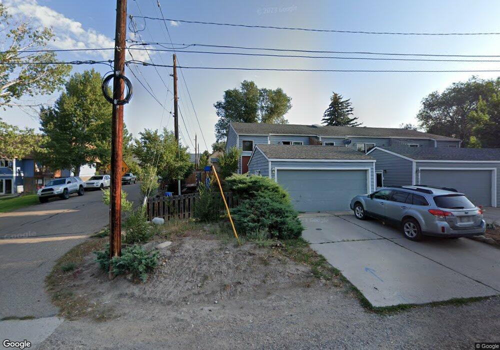
1033 Colorado Ave Carbondale, CO 81623
Carbondale NeighborhoodEstimated Value: $910,956 - $984,000
3
Beds
2
Baths
1,704
Sq Ft
$559/Sq Ft
Est. Value
About This Home
This home is located at 1033 Colorado Ave, Carbondale, CO 81623 and is currently estimated at $952,739, approximately $559 per square foot. 1033 Colorado Ave is a home located in Garfield County with nearby schools including Ross Montessori School, Carbondale Community Charter School, and Colorado Rocky Mountain School.
Ownership History
Date
Name
Owned For
Owner Type
Purchase Details
Closed on
Dec 6, 2006
Sold by
Cook Katherine S
Bought by
Cook Katherine S
Current Estimated Value
Home Financials for this Owner
Home Financials are based on the most recent Mortgage that was taken out on this home.
Original Mortgage
$189,000
Outstanding Balance
$112,999
Interest Rate
6.31%
Mortgage Type
Stand Alone Refi Refinance Of Original Loan
Estimated Equity
$839,740
Purchase Details
Closed on
Jun 9, 1998
Purchase Details
Closed on
Feb 26, 1996
Create a Home Valuation Report for This Property
The Home Valuation Report is an in-depth analysis detailing your home's value as well as a comparison with similar homes in the area
Home Values in the Area
Average Home Value in this Area
Purchase History
| Date | Buyer | Sale Price | Title Company |
|---|---|---|---|
| Cook Katherine S | -- | First American Title Ins Co | |
| -- | $185,000 | -- | |
| -- | $159,000 | -- |
Source: Public Records
Mortgage History
| Date | Status | Borrower | Loan Amount |
|---|---|---|---|
| Open | Cook Katherine S | $189,000 |
Source: Public Records
Tax History Compared to Growth
Tax History
| Year | Tax Paid | Tax Assessment Tax Assessment Total Assessment is a certain percentage of the fair market value that is determined by local assessors to be the total taxable value of land and additions on the property. | Land | Improvement |
|---|---|---|---|---|
| 2024 | $2,786 | $41,240 | $8,300 | $32,940 |
| 2023 | $2,786 | $41,240 | $8,300 | $32,940 |
| 2022 | $2,901 | $40,190 | $7,650 | $32,540 |
| 2021 | $2,941 | $41,340 | $7,870 | $33,470 |
| 2020 | $2,840 | $34,730 | $5,360 | $29,370 |
| 2019 | $2,864 | $34,730 | $5,360 | $29,370 |
| 2018 | $2,289 | $28,100 | $5,400 | $22,700 |
| 2017 | $2,132 | $28,100 | $5,400 | $22,700 |
| 2016 | $2,126 | $27,520 | $4,460 | $23,060 |
| 2015 | $2,156 | $27,520 | $4,460 | $23,060 |
| 2014 | -- | $14,580 | $1,910 | $12,670 |
Source: Public Records
Map
Nearby Homes
- 155 Main St
- 718 Main St Unit 718
- 640 Lincoln Ave Unit 630 Lincoln Ave
- 296 N 7th St
- 610 Colorado Ave
- 169 Village Ln
- 579 Main St
- 123 Village Ln
- 491 Morrison St
- 570 Redstone Ave
- 1188 Cr 106
- 311 Main St Unit STE 300
- 584 Grace Dr
- 202 Euclid Ave
- 98 Main St
- Tbd County Road 100
- 1555 Colorado 133
- 0 Maroon Dr Unit 190601
- 26 Maroon Dr
- 1945 Dolores Way
- 1033 Colorado Ave
- 1023 Colorado Ave
- 1013 Colorado Ave
- 1149 Colorado Ave Unit 1149
- 1145 Colorado Ave Unit 1145
- 178 N 11th St
- 1137 Colorado Ave Unit 1137
- 177 N 10th St
- 1129 Colorado Ave Unit 1129
- 1008 Colorado Ave
- 1014 Colorado Ave
- 1002 Colorado Ave
- 1020 Colorado Ave
- 1147 Colorado Ave Unit 1147
- 1143 Colorado Ave Unit 1143
- 1135 Colorado Ave Unit 1135
- 1026 Colorado Ave
- 1026 Colorado Ave Unit G2
- 1121 Colorado Ave Unit 1121
- 1102 Colorado Ave Unit C-2