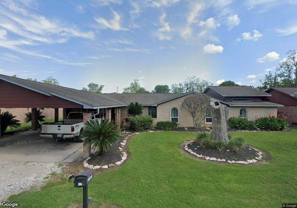
1033 County Road 769 Brazoria, TX 77422
Estimated Value: $319,000 - $544,000
--
Bed
2
Baths
4,113
Sq Ft
$99/Sq Ft
Est. Value
About This Home
This home is located at 1033 County Road 769, Brazoria, TX 77422 and is currently estimated at $409,167, approximately $99 per square foot. 1033 County Road 769 is a home located in Brazoria County.
Ownership History
Date
Name
Owned For
Owner Type
Purchase Details
Closed on
Jul 18, 2003
Sold by
Howell Ted S and Howell Susie G
Bought by
Krumwiede Gary and Krumwiede Linda
Current Estimated Value
Purchase Details
Closed on
Aug 18, 1995
Sold by
Timmins Frank P and Timmins Bernice N
Bought by
Krumwiede Gary and Krumwiede Linda
Home Financials for this Owner
Home Financials are based on the most recent Mortgage that was taken out on this home.
Original Mortgage
$12,500
Interest Rate
7.39%
Mortgage Type
Seller Take Back
Create a Home Valuation Report for This Property
The Home Valuation Report is an in-depth analysis detailing your home's value as well as a comparison with similar homes in the area
Home Values in the Area
Average Home Value in this Area
Purchase History
| Date | Buyer | Sale Price | Title Company |
|---|---|---|---|
| Krumwiede Gary | -- | -- | |
| Krumwiede Gary | -- | -- |
Source: Public Records
Mortgage History
| Date | Status | Borrower | Loan Amount |
|---|---|---|---|
| Previous Owner | Krumwiede Gary | $12,500 |
Source: Public Records
Tax History Compared to Growth
Tax History
| Year | Tax Paid | Tax Assessment Tax Assessment Total Assessment is a certain percentage of the fair market value that is determined by local assessors to be the total taxable value of land and additions on the property. | Land | Improvement |
|---|---|---|---|---|
| 2025 | $2,784 | $370,440 | $18,520 | $351,920 |
| 2023 | $2,784 | $403,293 | $18,520 | $407,730 |
| 2022 | $5,787 | $366,630 | $17,840 | $348,790 |
| 2021 | $5,978 | $356,590 | $17,840 | $338,750 |
| 2020 | $6,472 | $360,910 | $17,840 | $343,070 |
| 2019 | $6,272 | $344,570 | $17,840 | $326,730 |
| 2018 | $5,745 | $316,280 | $17,840 | $298,440 |
| 2017 | $5,277 | $285,380 | $17,840 | $267,540 |
| 2016 | $4,797 | $285,380 | $17,840 | $267,540 |
| 2015 | $1,854 | $233,980 | $13,720 | $220,260 |
| 2014 | $1,854 | $122,500 | $13,720 | $108,780 |
Source: Public Records
Map
Nearby Homes
- 2560 Cr-769c
- 2541 Cr 769c
- 2082 Fm 521 Rd
- 1561 County Road 797
- 1970 Fm 521 Rd
- 3006 Fm 521 Rd
- 0 County Road 520 Unit 11272899
- 3559 Farm To Market Road 521
- 133 Country Oaks St
- 2719 County Road 510
- 1093 River Oaks Dr
- 523 Lazy Ln
- 108 Country Oaks St
- 105 Country Oaks St
- 229 Yaupon Dr
- 323 County Rd 461b
- 307 Avenue G
- 0 Pecan Dr
- 232 Magnolia St
- 1208 S Brooks St
- 1033 County Road 769
- 1027 County Road 769
- 1041 County Road 769
- 1027 Cr 769
- 1049 County Road 769
- 1019 County Road 769
- 1032 Cr 769 (114 Royal Ridge)
- 1032 County Road 769
- 1032 County Road 769
- 1061 County Road 769
- 1061 County Road 769
- 1040 County Road 769
- 1046 County Road 769
- 1046 County Road 769
- 1046 Cr 769
- 1026 County Road 769
- 1014 County Road 769
- 1115 Cr 769
- 1115 County Road 769
- 2426 County Road 769a