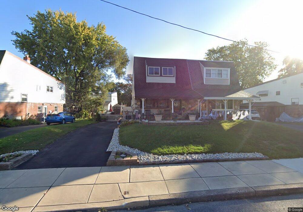
1033 Foster St Philadelphia, PA 19116
Somerton NeighborhoodEstimated Value: $352,000 - $417,000
4
Beds
1
Bath
1,701
Sq Ft
$227/Sq Ft
Est. Value
About This Home
This home is located at 1033 Foster St, Philadelphia, PA 19116 and is currently estimated at $386,460, approximately $227 per square foot. 1033 Foster St is a home located in Philadelphia County with nearby schools including Loesche William H School, CCA Baldi Middle School, and George Washington High School.
Ownership History
Date
Name
Owned For
Owner Type
Purchase Details
Closed on
Oct 3, 2005
Sold by
Padilla Jorge and Padilla Hilda
Bought by
Shea John D and Shea Jacqueline
Current Estimated Value
Home Financials for this Owner
Home Financials are based on the most recent Mortgage that was taken out on this home.
Original Mortgage
$213,650
Outstanding Balance
$114,499
Interest Rate
5.78%
Mortgage Type
Fannie Mae Freddie Mac
Estimated Equity
$271,961
Purchase Details
Closed on
May 24, 2002
Sold by
Padilla Hilda and Martinez Hilda
Bought by
Padilla Jorge and Padilla Hilda
Home Financials for this Owner
Home Financials are based on the most recent Mortgage that was taken out on this home.
Original Mortgage
$75,000
Interest Rate
6.9%
Purchase Details
Closed on
Nov 1, 1996
Sold by
Esner Lillian
Bought by
Martinez Hilda
Create a Home Valuation Report for This Property
The Home Valuation Report is an in-depth analysis detailing your home's value as well as a comparison with similar homes in the area
Home Values in the Area
Average Home Value in this Area
Purchase History
| Date | Buyer | Sale Price | Title Company |
|---|---|---|---|
| Shea John D | $224,900 | None Available | |
| Padilla Jorge | -- | -- | |
| Martinez Hilda | $65,000 | -- |
Source: Public Records
Mortgage History
| Date | Status | Borrower | Loan Amount |
|---|---|---|---|
| Open | Shea John D | $213,650 | |
| Previous Owner | Padilla Jorge | $75,000 |
Source: Public Records
Tax History Compared to Growth
Tax History
| Year | Tax Paid | Tax Assessment Tax Assessment Total Assessment is a certain percentage of the fair market value that is determined by local assessors to be the total taxable value of land and additions on the property. | Land | Improvement |
|---|---|---|---|---|
| 2025 | $3,670 | $332,000 | $66,400 | $265,600 |
| 2024 | $3,670 | $332,000 | $66,400 | $265,600 |
| 2023 | $3,670 | $262,200 | $52,440 | $209,760 |
| 2022 | $2,347 | $217,200 | $52,440 | $164,760 |
| 2021 | $2,977 | $0 | $0 | $0 |
| 2020 | $2,977 | $0 | $0 | $0 |
| 2019 | $2,804 | $0 | $0 | $0 |
| 2018 | $2,738 | $0 | $0 | $0 |
| 2017 | $2,738 | $0 | $0 | $0 |
| 2016 | $2,296 | $0 | $0 | $0 |
| 2015 | $19,112 | $0 | $0 | $0 |
| 2014 | -- | $195,600 | $89,240 | $106,360 |
| 2012 | -- | $23,072 | $3,129 | $19,943 |
Source: Public Records
Map
Nearby Homes
- 831 Lawler St
- 11003 Stevens Rd
- 813 Piermont St
- 825 Delray St
- 1207 Friel Place
- 818 Burgess St
- 770 Selmer Rd
- 11008 Proctor Rd
- 1724 Nathaniel Dr
- 10236 Selmer Terrace
- 10752 Jeanes St
- 10236 Jeanes St
- 807 Larkspur St
- 1829 Tomlinson Rd
- 808 Densmore Rd
- 1912 Tomlinson Rd
- 11022 Ferndale St
- 375 Avon St
- 509 Larkspur St
- 1104 Welton St
- 1035 Foster St
- 1031 Foster St
- 1037 Foster St
- 1029 Foster St
- 1032 Tomlinson Rd
- 1030 Tomlinson Rd
- 1039 Foster St
- 1027 Foster St
- 1034 Tomlinson Rd
- 1028 Tomlinson Rd
- 1036 Tomlinson Rd
- 1026 Tomlinson Rd
- 1025 Foster St
- 1034 Foster St
- 1032 Foster St
- 1036 Foster St
- 1030 Foster St
- 1028 Foster St
- 1038 Tomlinson Rd
- 1038 Foster St