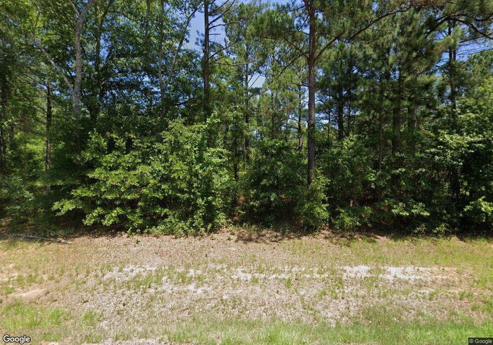
1033 Ga Highway 102 W Gibson, GA 30810
Estimated Value: $110,000
--
Bed
6
Baths
3,042
Sq Ft
$36/Sq Ft
Est. Value
About This Home
This home is located at 1033 Ga Highway 102 W, Gibson, GA 30810 and is currently estimated at $110,000, approximately $36 per square foot. 1033 Ga Highway 102 W is a home located in Glascock County with nearby schools including Glascock County Consolidated School.
Ownership History
Date
Name
Owned For
Owner Type
Purchase Details
Closed on
May 22, 2025
Sold by
Mathis H O
Bought by
Chalker Mathis Wilma
Current Estimated Value
Purchase Details
Closed on
Mar 1, 2012
Sold by
Mathis Henry
Bought by
Booten Laverne Mathis
Purchase Details
Closed on
Feb 20, 2004
Sold by
Chalker Loys
Bought by
Mathis Mathis H and Mathis Mrs
Purchase Details
Closed on
Sep 10, 2001
Sold by
Mathis Mathis H and Mathis M
Bought by
Chalker Loys
Purchase Details
Closed on
Dec 4, 2000
Sold by
Hadden Frankie M
Bought by
Mathis Mathis H and Mathis M
Create a Home Valuation Report for This Property
The Home Valuation Report is an in-depth analysis detailing your home's value as well as a comparison with similar homes in the area
Home Values in the Area
Average Home Value in this Area
Purchase History
| Date | Buyer | Sale Price | Title Company |
|---|---|---|---|
| Chalker Mathis Wilma | -- | -- | |
| Booten Laverne Mathis | -- | -- | |
| Mathis Mathis H | $200 | -- | |
| Chalker Loys | -- | -- | |
| Mathis Mathis H | $5,000 | -- |
Source: Public Records
Tax History Compared to Growth
Tax History
| Year | Tax Paid | Tax Assessment Tax Assessment Total Assessment is a certain percentage of the fair market value that is determined by local assessors to be the total taxable value of land and additions on the property. | Land | Improvement |
|---|---|---|---|---|
| 2024 | $363 | $26,817 | $24,181 | $2,636 |
| 2023 | $354 | $26,817 | $24,181 | $2,636 |
| 2022 | $323 | $24,587 | $23,236 | $1,351 |
| 2021 | $315 | $29,912 | $29,496 | $416 |
| 2020 | $296 | $29,912 | $29,496 | $416 |
| 2019 | $283 | $29,912 | $29,496 | $416 |
| 2018 | $856 | $29,912 | $29,496 | $416 |
| 2017 | $256 | $29,496 | $29,496 | $0 |
| 2016 | $2,535 | $111,355 | $29,496 | $81,859 |
| 2015 | -- | $111,355 | $29,496 | $81,859 |
| 2014 | -- | $111,355 | $29,496 | $81,859 |
| 2013 | -- | $111,355 | $29,496 | $81,859 |
Source: Public Records
Map
Nearby Homes
- 0 Lamp Rd Unit 547551
- 99 W Main St
- 2582 Georgia 171
- 0 Edgehill Mitchell Rd
- 5559 Mill Creek Church Rd
- 0 Buck Rd Unit LotWP001 24720525
- Edford Reese Rd
- Edford Reese Rd
- Edford Reese Rd
- Edford Reese Rd
- Edford Reese Rd
- 0 Lampp Rd
- 4 County Line Rd SW
- Edford Reese Rd
- 3479 Bastonville Rd
- 0 Bastonville Rd Unit (Tract 14)
- 0 Bastonville Rd Unit 548327
- 0 Bastonville Rd Unit 10627311
- 0 Georgia 171
- 3275 Hadden Pond Rd
- 1357 Old Mitchell Rd
- 1379 Wild Turkey Dr
- 1218 Old Mitchell Rd
- 1448 Wild Turkey Dr
- 0 Wild Turkey Dr Unit 10525010
- 0 Wild Turkey Dr Unit 10319571
- 0 Wild Turkey Dr Unit 530434
- 0 Wild Turkey Dr Unit 10216306
- 0 Wild Turkey Dr Unit 521814
- 0 Wild Turkey Dr Unit 10102388
- 0 Wild Turkey Dr Unit 461522
- 0 Wild Turkey Dr Unit 475634
- 022 Wild Turkey Dr Unit 22/23
- 0-22 Wild Turkey Dr
- 0 Wild Turkey Dr
- 1450 Old Mitchell Rd
- 1469 Wild Turkey Dr
- 1569 Old Mitchell Rd
- 1609 Old Mitchell Rd
- 967 Ga Highway 102 W
