1033 Gore Dr Oviedo, FL 32765
Estimated Value: $471,000 - $565,836
4
Beds
5
Baths
2,313
Sq Ft
$219/Sq Ft
Est. Value
About This Home
This home is located at 1033 Gore Dr, Oviedo, FL 32765 and is currently estimated at $507,209, approximately $219 per square foot. 1033 Gore Dr is a home located in Seminole County with nearby schools including Stenstrom Elementary School, Lawton Chiles Middle School, and Oviedo High School.
Ownership History
Date
Name
Owned For
Owner Type
Purchase Details
Closed on
Jul 30, 2025
Sold by
Boykin Donnell C and Boykin Andrea R
Bought by
Boykin Donnell C and Boykin Andrea R
Current Estimated Value
Purchase Details
Closed on
Jan 24, 2023
Sold by
Charles Martha G
Bought by
Boykin Andrea R
Purchase Details
Closed on
Oct 1, 2005
Sold by
Charles Martha G
Bought by
Charles Martha G and Boykin Andrea R
Purchase Details
Closed on
Oct 1, 1988
Bought by
Charles Martha G and Charles Boykin
Purchase Details
Closed on
Dec 1, 1986
Bought by
Charles Martha G and Charles Boykin
Create a Home Valuation Report for This Property
The Home Valuation Report is an in-depth analysis detailing your home's value as well as a comparison with similar homes in the area
Home Values in the Area
Average Home Value in this Area
Purchase History
| Date | Buyer | Sale Price | Title Company |
|---|---|---|---|
| Boykin Donnell C | $100 | None Listed On Document | |
| Boykin Donnell C | $100 | None Listed On Document | |
| Boykin Andrea R | $61,500 | -- | |
| Boykin Andrea R | $61,500 | None Listed On Document | |
| Charles Martha G | $31,200 | None Available | |
| Charles Martha G | $116,000 | -- | |
| Charles Martha G | $705,200 | -- |
Source: Public Records
Tax History Compared to Growth
Tax History
| Year | Tax Paid | Tax Assessment Tax Assessment Total Assessment is a certain percentage of the fair market value that is determined by local assessors to be the total taxable value of land and additions on the property. | Land | Improvement |
|---|---|---|---|---|
| 2024 | $2,784 | $206,889 | -- | -- |
| 2023 | $2,612 | $200,863 | $0 | $0 |
| 2022 | $2,536 | $200,863 | $0 | $0 |
| 2021 | $2,481 | $189,333 | $0 | $0 |
| 2020 | $2,458 | $186,719 | $0 | $0 |
| 2019 | $2,422 | $182,521 | $0 | $0 |
| 2018 | $2,396 | $179,118 | $0 | $0 |
| 2017 | $2,296 | $175,434 | $0 | $0 |
| 2016 | $2,382 | $173,029 | $0 | $0 |
| 2015 | $2,391 | $170,632 | $0 | $0 |
| 2014 | $2,391 | $169,278 | $0 | $0 |
Source: Public Records
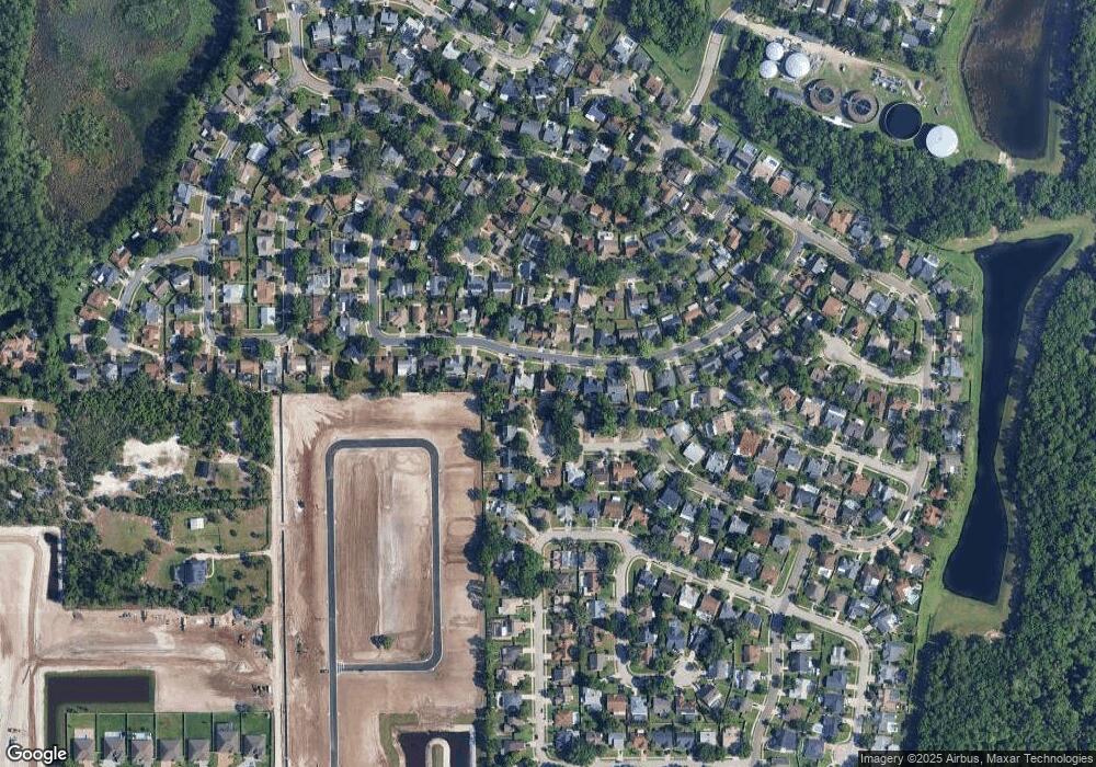
Map
Nearby Homes
- 1002 Stout Ct
- 1016 Ohanlon Ct
- 2644 Ravencliffe Terrace
- 1039 Dishman Loop
- 1059 Beckstrom Dr
- 1037 Mckinnon Ave
- 1022 Albamonte Ct
- 1022 Beckstrom Dr
- 976 Hawksnest Point
- 1009 Gammage Point
- 1070 Mckinnon Ave
- 1023 Mckinnon Ave
- 1025 Whittier Cir
- 1027 Whittier Cir
- 1006 Ragsdale Rd
- 1027 Dees Dr
- 976 Hawks Nest Point
- Corina Xl Sl Plan at Hawk's Overlook
- Brookhaven Fl Plan at Hawk's Overlook
- San Marino II Fl Plan at Hawk's Overlook