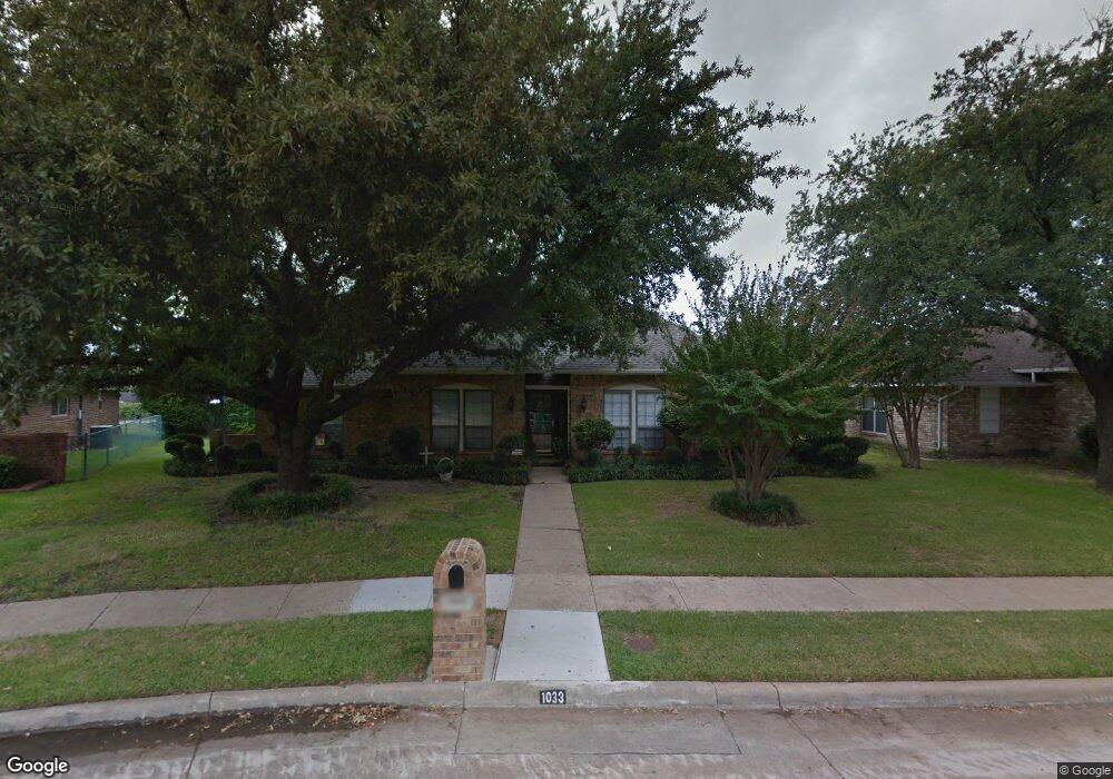
1033 Hampshire Ln Carrollton, TX 75007
Northwest Carrollton NeighborhoodEstimated Value: $460,406 - $531,000
3
Beds
3
Baths
1,813
Sq Ft
$265/Sq Ft
Est. Value
About This Home
This home is located at 1033 Hampshire Ln, Carrollton, TX 75007 and is currently estimated at $481,102, approximately $265 per square foot. 1033 Hampshire Ln is a home located in Denton County with nearby schools including Kent Elementary School, Blalack Middle School, and Creekview High School.
Ownership History
Date
Name
Owned For
Owner Type
Purchase Details
Closed on
Feb 19, 2020
Sold by
Orchard Property Ii Llc
Bought by
Martinez Eric and Martinez Shantel Marie
Current Estimated Value
Home Financials for this Owner
Home Financials are based on the most recent Mortgage that was taken out on this home.
Original Mortgage
$302,100
Interest Rate
3.2%
Mortgage Type
New Conventional
Purchase Details
Closed on
Jul 30, 2019
Sold by
Evans John H and Evans Judy Miller
Bought by
Noho Real Property Llc
Create a Home Valuation Report for This Property
The Home Valuation Report is an in-depth analysis detailing your home's value as well as a comparison with similar homes in the area
Home Values in the Area
Average Home Value in this Area
Purchase History
| Date | Buyer | Sale Price | Title Company |
|---|---|---|---|
| Martinez Eric | -- | None Available | |
| Noho Real Property Llc | -- | None Available |
Source: Public Records
Mortgage History
| Date | Status | Borrower | Loan Amount |
|---|---|---|---|
| Previous Owner | Martinez Eric | $302,100 |
Source: Public Records
Tax History Compared to Growth
Tax History
| Year | Tax Paid | Tax Assessment Tax Assessment Total Assessment is a certain percentage of the fair market value that is determined by local assessors to be the total taxable value of land and additions on the property. | Land | Improvement |
|---|---|---|---|---|
| 2025 | $5,757 | $465,584 | $98,670 | $380,099 |
| 2024 | $7,239 | $423,258 | $0 | $0 |
| 2023 | $5,120 | $384,780 | $98,670 | $381,493 |
| 2022 | $6,726 | $349,800 | $98,670 | $295,413 |
| 2021 | $6,574 | $318,000 | $80,730 | $237,270 |
| 2020 | $6,342 | $304,400 | $80,730 | $223,670 |
| 2019 | $5,843 | $266,732 | $80,730 | $186,002 |
| 2018 | $5,671 | $255,634 | $80,730 | $174,904 |
| 2017 | $5,517 | $245,877 | $62,790 | $183,087 |
| 2016 | $3,072 | $223,956 | $45,119 | $191,635 |
| 2015 | $2,823 | $203,596 | $45,119 | $172,614 |
| 2013 | -- | $174,616 | $45,119 | $129,497 |
Source: Public Records
Map
Nearby Homes
- 1020 Nottingham Dr
- 2813 Staffordshire Dr
- 1008 Nottingham Dr
- 1036 Clinton St
- 1113 Derbyshire Ln
- 1002 Nottingham Dr
- 1211 Mackie Dr
- 1129 Yorkshire Dr
- 1203 Sycamore Dr
- 1009 Peacock Blvd
- 3102 Aspen
- 3103 Birch Dr
- 2926 Hunters Point Ln
- 2812 Orchid St
- 2920 Sunset Point Ln
- 1106 Alameda Dr
- 2706 Brookshire Dr
- 2931 Peninsula Way
- 2903 Fort Point Ln
- 3110 Glenmere Ct
- 1035 Hampshire Ln
- 1031 Hampshire Ln
- 2826 Staffordshire Dr
- 2824 Staffordshire Dr
- 2828 Staffordshire Dr
- 1037 Hampshire Ln
- 1028 Hampshire Ln
- 1029 Hampshire Ln
- 1024 Nottingham Dr
- 1026 Nottingham Dr
- 1022 Nottingham Dr
- 2830 Staffordshire Dr
- 1026 Hampshire Ln
- 1027 Hampshire Ln
- 1029 Oxfordshire Dr
- 1027 Oxfordshire Dr
- 1031 Oxfordshire Dr
- 2823 Staffordshire Dr
- 1025 Oxfordshire Dr
- 2821 Staffordshire Dr