1033 Holly Ln Bethlehem, GA 30620
Estimated Value: $442,000 - $873,364
3
Beds
2
Baths
3,052
Sq Ft
$218/Sq Ft
Est. Value
About This Home
This home is located at 1033 Holly Ln, Bethlehem, GA 30620 and is currently estimated at $663,841, approximately $217 per square foot. 1033 Holly Ln is a home located in Barrow County with nearby schools including Bethlehem Elementary School, Haymon-Morris Middle School, and Apalachee High School.
Create a Home Valuation Report for This Property
The Home Valuation Report is an in-depth analysis detailing your home's value as well as a comparison with similar homes in the area
Home Values in the Area
Average Home Value in this Area
Tax History Compared to Growth
Tax History
| Year | Tax Paid | Tax Assessment Tax Assessment Total Assessment is a certain percentage of the fair market value that is determined by local assessors to be the total taxable value of land and additions on the property. | Land | Improvement |
|---|---|---|---|---|
| 2024 | $2,876 | $269,699 | $126,734 | $142,965 |
| 2023 | $2,423 | $269,699 | $126,734 | $142,965 |
| 2022 | $2,215 | $223,149 | $126,734 | $96,415 |
| 2021 | $1,947 | $188,331 | $101,387 | $86,944 |
| 2020 | $1,662 | $153,821 | $66,877 | $86,944 |
| 2019 | $1,525 | $146,015 | $66,877 | $79,138 |
| 2018 | $1,423 | $142,553 | $66,877 | $75,676 |
| 2017 | $3,831 | $131,574 | $66,877 | $64,697 |
| 2016 | $1,651 | $121,696 | $18,048 | $103,648 |
| 2015 | $1,170 | $74,300 | $2,741 | $71,559 |
| 2014 | $949 | $46,149 | $14,725 | $31,424 |
| 2013 | -- | $44,949 | $14,724 | $30,224 |
Source: Public Records
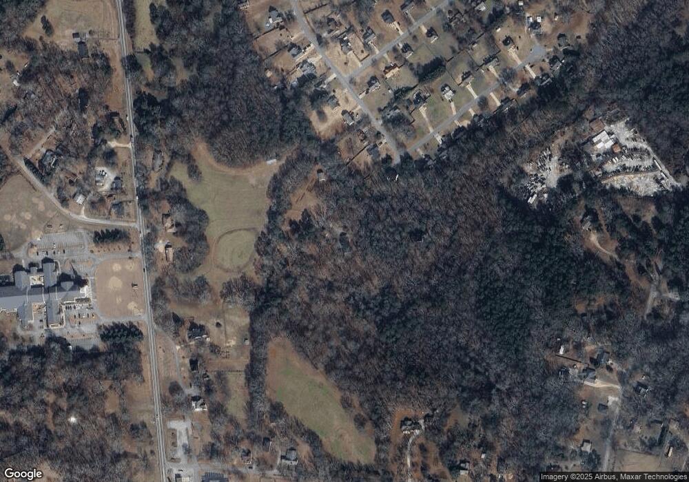
Map
Nearby Homes
- 724 Manger Ave
- 0 Manger Ave E Unit 20154677
- 0 Manger Ave E Unit 20127001
- 784 Manger Ave
- 966 David Ave
- 1050 Bethlehem Church Rd
- 164 Manning Gin Rd
- 449 & 455 Carl-Bethlehem Rd
- 898 Harrison Mill Rd
- 0 Monroe Hwy Unit 10466108
- 0 Monroe Hwy Unit 7530054
- 528 Harris Dr
- 0 McElhannon Rd SW Unit 10581793
- 303 Carly Ct
- 213 Harvey Lokey Rd
- 328 Advent Dr
- 182 Nativity Cove
- 755 Harry McCarty Rd
- 0 Harrison Mill Rd Unit 10522698
- 0 Carson Wages Rd Unit 7617509
- 44 Angel St
- 730 Manger Ave
- 16 Angel St
- 671 Thorn Brook Ridge Unit 11
- 671 Thorn Brook Ridge
- 675 Thorn Brook Ridge
- 20 Angel St
- 0 Angel St Unit 7526323
- 0 Angel St Unit 7345157
- 0 Angel St Unit 8454084
- 0 Angel St Unit 8424497
- 0 Angel St Unit 7590667
- 0 Angel St Unit 8221760
- 0 Angel St
- 56 Angel St
- 742 Manger Ave
- 736 Manger Ave
- 706 Christmas Ave
- 669 Thorn Brook Ridge
- 18 Shepherd St W