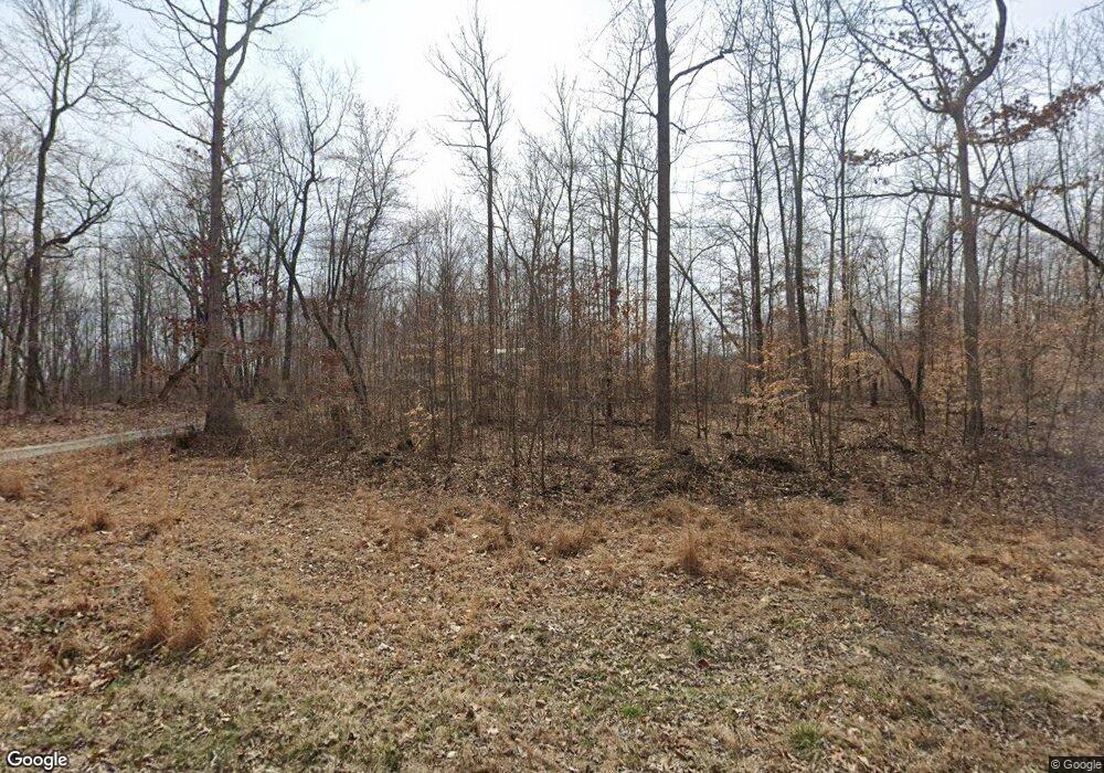
1033 Jimmy Hubbard Rd Edmonton, KY 42129
Estimated Value: $80,000 - $114,268
2
Beds
1
Bath
864
Sq Ft
$110/Sq Ft
Est. Value
About This Home
This home is located at 1033 Jimmy Hubbard Rd, Edmonton, KY 42129 and is currently estimated at $94,756, approximately $109 per square foot. 1033 Jimmy Hubbard Rd is a home with nearby schools including Metcalfe County Elementary School, Metcalfe County Middle School, and Metcalfe County High School.
Ownership History
Date
Name
Owned For
Owner Type
Purchase Details
Closed on
Apr 27, 2023
Sold by
Eaton Nell Depp Stark and Eaton Joseph D
Bought by
Bell Robert L and Bell Kelly P
Current Estimated Value
Purchase Details
Closed on
Sep 14, 2021
Sold by
Metcalfe Circuit Court
Bought by
Tax Brake Ky Llc
Purchase Details
Closed on
Aug 19, 2013
Sold by
Logsdon Ronnie M and Logsdon Ruth
Bought by
Thomas Sherry
Create a Home Valuation Report for This Property
The Home Valuation Report is an in-depth analysis detailing your home's value as well as a comparison with similar homes in the area
Home Values in the Area
Average Home Value in this Area
Purchase History
| Date | Buyer | Sale Price | Title Company |
|---|---|---|---|
| Bell Robert L | $212,000 | None Listed On Document | |
| Tax Brake Ky Llc | $468,140 | None Listed On Document | |
| Thomas Sherry | $17,500 | None Available |
Source: Public Records
Tax History Compared to Growth
Tax History
| Year | Tax Paid | Tax Assessment Tax Assessment Total Assessment is a certain percentage of the fair market value that is determined by local assessors to be the total taxable value of land and additions on the property. | Land | Improvement |
|---|---|---|---|---|
| 2024 | $247 | $20,808 | $0 | $0 |
| 2023 | $244 | $20,808 | $0 | $0 |
| 2022 | $246 | $20,808 | $0 | $0 |
| 2021 | $250 | $20,808 | $0 | $0 |
| 2020 | $255 | $20,808 | $0 | $0 |
| 2019 | $259 | $20,808 | $0 | $0 |
| 2018 | $255 | $20,808 | $0 | $0 |
| 2017 | $252 | $20,808 | $0 | $0 |
| 2016 | $215 | $20,808 | $0 | $0 |
| 2015 | -- | $1,808 | $1,808 | $0 |
| 2013 | -- | $17,500 | $0 | $0 |
Source: Public Records
Map
Nearby Homes
- 183 Mell Cork Rd
- 1879 Bridgeport Rd
- 1450 Cork Gascon Rd
- 199 Cody Trent Rd
- 257 Hubbard Cemetery Rd
- 8923 Greensburg Rd
- 1380 Hubbard Cemetery Rd
- 0 Dudley Ln
- 0 Keltnertown Rd
- 11160 Greensburg Rd
- 2805 Columbia Rd
- 5790 Knob Lick Rd
- AC Maple Hill Spur Rd
- xxxx Harvey Hurt Rd
- 104 Sun Valley Cir
- 10 Rollin Blaydes Rd
- 1887 Prices Creek Rd
- 1188 Breeding Rd
- 150 Bill Moore Rd
- 131 Wayne Poynter Rd
- 1043 Jimmy Hubbard Rd
- 1265 Jimmy Hubbard Rd
- 134 Box Lutzk Ln
- 250 Jeff Frick Rd
- 40 Jeff Frick Rd
- 375 Jeff Frick Rd
- 839 Jimmy Hubbard Rd
- 339 Box Lutzk Ln
- 639 Jimmy Hubbard Rd
- 650 Jimmy Hubbard Rd
- 525 Jimmy Hubbard Rd
- 540 Jimmy Hubbard Rd
- 1660 Jimmy Hubbard Rd
- 41 Cotton Rd
- 450 Jimmy Hubbard Rd
- 199 Cotton Rd
- 326 Jimmy Hubbard Rd
- 1603 Mell Cork Rd
- 100 Tim Hubbard Rd
- 0 Chris Harper Rd
