1033 Newton Rd Quincy, MI 49082
Estimated Value: $163,000 - $228,000
3
Beds
2
Baths
1,300
Sq Ft
$159/Sq Ft
Est. Value
About This Home
This home is located at 1033 Newton Rd, Quincy, MI 49082 and is currently estimated at $206,260, approximately $158 per square foot. 1033 Newton Rd is a home located in Branch County with nearby schools including Jennings Elementary School, Quincy Middle School, and Quincy High School.
Ownership History
Date
Name
Owned For
Owner Type
Purchase Details
Closed on
Jul 13, 2007
Sold by
Roberts Theodore P and Roberts Shelly A
Bought by
Roberts Paul J and Roberts Melvina C
Current Estimated Value
Home Financials for this Owner
Home Financials are based on the most recent Mortgage that was taken out on this home.
Original Mortgage
$117,600
Outstanding Balance
$73,657
Interest Rate
6.54%
Mortgage Type
FHA
Estimated Equity
$132,603
Purchase Details
Closed on
Apr 20, 2004
Sold by
Bowen Charles D and Bowen Martha J
Bought by
Roberts Theodore P and Robert Shelly A
Home Financials for this Owner
Home Financials are based on the most recent Mortgage that was taken out on this home.
Original Mortgage
$86,250
Interest Rate
5.85%
Mortgage Type
Purchase Money Mortgage
Create a Home Valuation Report for This Property
The Home Valuation Report is an in-depth analysis detailing your home's value as well as a comparison with similar homes in the area
Home Values in the Area
Average Home Value in this Area
Purchase History
| Date | Buyer | Sale Price | Title Company |
|---|---|---|---|
| Roberts Paul J | $119,500 | None Available | |
| Roberts Theodore P | $115,000 | Branch County Abstract & Tit |
Source: Public Records
Mortgage History
| Date | Status | Borrower | Loan Amount |
|---|---|---|---|
| Open | Roberts Paul J | $117,600 | |
| Previous Owner | Roberts Theodore P | $86,250 |
Source: Public Records
Tax History Compared to Growth
Tax History
| Year | Tax Paid | Tax Assessment Tax Assessment Total Assessment is a certain percentage of the fair market value that is determined by local assessors to be the total taxable value of land and additions on the property. | Land | Improvement |
|---|---|---|---|---|
| 2025 | $1,332 | $85,098 | $0 | $0 |
| 2024 | $485 | $83,511 | $0 | $0 |
| 2023 | $441 | $74,942 | $0 | $0 |
| 2022 | $441 | $62,294 | $0 | $0 |
| 2021 | -- | $59,554 | $0 | $0 |
| 2020 | -- | $58,718 | $0 | $0 |
| 2019 | -- | $70,769 | $0 | $0 |
| 2018 | -- | $47,228 | $0 | $0 |
| 2017 | -- | $46,036 | $0 | $0 |
| 2016 | -- | $37,199 | $0 | $0 |
| 2015 | -- | $41,203 | $0 | $0 |
| 2014 | -- | $37,257 | $0 | $0 |
| 2013 | -- | $34,989 | $0 | $0 |
Source: Public Records
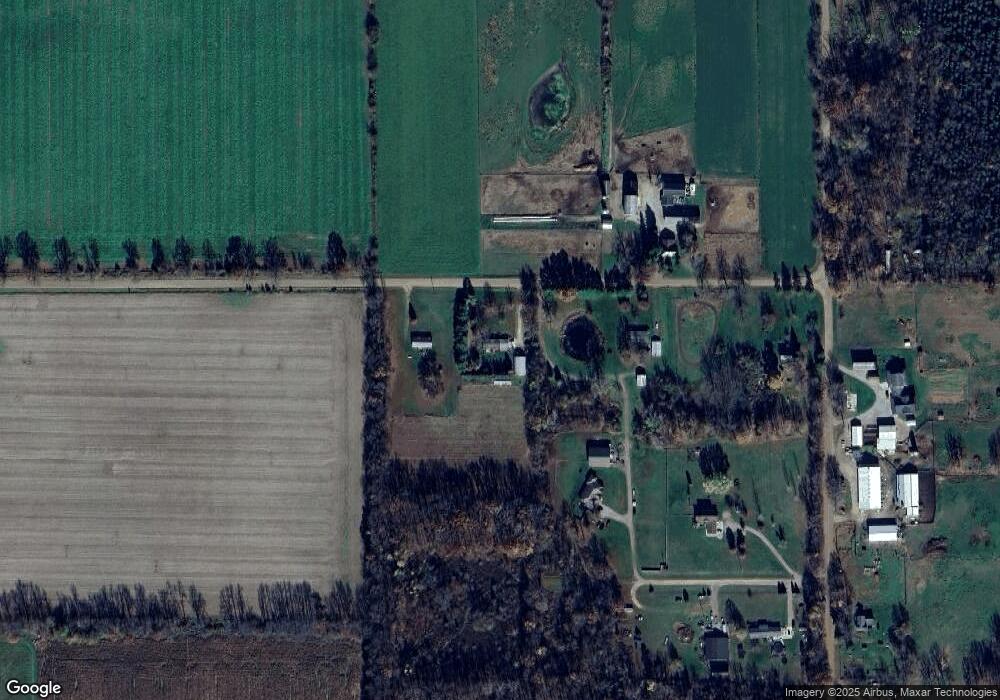
Map
Nearby Homes
- 1014 Aguadero Pkwy
- 69 N Main St
- 1085 E Chicago Rd Unit B
- 1085 E Chicago Rd Unit A
- 1085 E Chicago Rd
- 9 Cole St
- 34 Park St
- 42 W Chicago St
- 46 W Chicago St
- 34 W Liberty St
- 78 Taylor St
- 44 Berry St
- 424 Doris St
- 832 Clarendon Rd
- 4251 Squires Rd
- 912 Beckwith Shore
- 988 Williams Dr
- 732 Cambridge Dr
- 216 Sandalwood Dr
- 0 Wildwood Rd
- 1029 Newton Rd
- 1043 Newton Rd
- 1036 Bowen Ln
- 1046 Bowen Ln
- 598 Clarendon Rd
- 1047 Bowen Ln
- 591 Clarendon Rd
- 571 Clarendon Rd
- 615 Clarendon Rd
- 627 Clarendon Rd
- 631 Clarendon Rd
- 631 Clarendon Rd
- 641 Clarendon Rd
- 555 Clarendon Rd
- 645 Clarendon Rd
- 525 Clarendon Rd
- 665 N Ray Quincy Rd
- 950 Newton Rd
- 960 Newton Rd
- 524 N Ray Quincy Rd