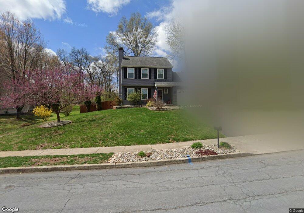
1033 Rill Rd Reading, PA 19606
Estimated Value: $295,000 - $347,000
3
Beds
2
Baths
1,339
Sq Ft
$241/Sq Ft
Est. Value
About This Home
This home is located at 1033 Rill Rd, Reading, PA 19606 and is currently estimated at $322,521, approximately $240 per square foot. 1033 Rill Rd is a home located in Berks County with nearby schools including Lorane Elementary School, Exeter Township Junior High School, and Exeter Township Senior High School.
Ownership History
Date
Name
Owned For
Owner Type
Purchase Details
Closed on
May 15, 2009
Sold by
Larson Eric S and Larson Cheryl A
Bought by
Bonelli Peter A and Bonelli Yvonne M
Current Estimated Value
Home Financials for this Owner
Home Financials are based on the most recent Mortgage that was taken out on this home.
Original Mortgage
$152,000
Outstanding Balance
$96,140
Interest Rate
4.87%
Mortgage Type
Purchase Money Mortgage
Estimated Equity
$226,381
Create a Home Valuation Report for This Property
The Home Valuation Report is an in-depth analysis detailing your home's value as well as a comparison with similar homes in the area
Home Values in the Area
Average Home Value in this Area
Purchase History
| Date | Buyer | Sale Price | Title Company |
|---|---|---|---|
| Bonelli Peter A | $190,000 | None Available |
Source: Public Records
Mortgage History
| Date | Status | Borrower | Loan Amount |
|---|---|---|---|
| Open | Bonelli Peter A | $152,000 |
Source: Public Records
Tax History
| Year | Tax Paid | Tax Assessment Tax Assessment Total Assessment is a certain percentage of the fair market value that is determined by local assessors to be the total taxable value of land and additions on the property. | Land | Improvement |
|---|---|---|---|---|
| 2025 | $1,621 | $103,200 | $25,300 | $77,900 |
| 2024 | $4,901 | $103,200 | $25,300 | $77,900 |
| 2023 | $4,741 | $103,200 | $25,300 | $77,900 |
| 2022 | $4,688 | $103,200 | $25,300 | $77,900 |
| 2021 | $4,617 | $103,200 | $25,300 | $77,900 |
| 2020 | $4,565 | $103,200 | $25,300 | $77,900 |
| 2019 | $4,515 | $103,200 | $25,300 | $77,900 |
| 2018 | $4,501 | $103,200 | $25,300 | $77,900 |
| 2017 | $4,437 | $103,200 | $25,300 | $77,900 |
| 2016 | $1,123 | $103,200 | $25,300 | $77,900 |
| 2015 | $1,123 | $103,200 | $25,300 | $77,900 |
| 2014 | $1,085 | $103,200 | $25,300 | $77,900 |
Source: Public Records
Map
Nearby Homes
- 4652 Pheasant Run N
- 17 4 Cranberry
- 11 1 Cranberry Ridge
- 69-3 Azalea Way
- 45-8 Holly Dr
- 92 Christine Dr
- 3601 Orchard View Rd
- 4981 Persimmon Dr
- 0 Perkiomen Ave Unit PABK2061892
- 6 A Alpine Ct
- 21 Hearthstone Dr
- 4 Alpine Ct Unit C
- 30 Estates Dr
- 31 Hearthstone Dr
- 318 Fairview Rd
- 4020 Grant St
- 4910 Dunham Dr
- 101 Killian Dr
- 74 Emily Ct
- 67 Emily Ct
- 1031 Rill Rd
- 4497 Pheasant Run
- 1035 Rill Rd
- 4495 Pheasant Run
- 1036 Rill Rd
- 1034 Rill Rd
- 4501 Pheasant Run
- 1038 Rill Rd
- 1040 Rill Rd
- 4493 Pheasant Run
- 1029 Rill Rd
- 4503 Pheasant Run
- 4494 Pheasant Run
- 4500 Pheasant Run N
- 4505 Pheasant Run
- 1027 Rill Rd
- 999 Grouse Way
- 997 Grouse Way
- 4502 Pheasant Run N
- 1025 Rill Rd
Your Personal Tour Guide
Ask me questions while you tour the home.