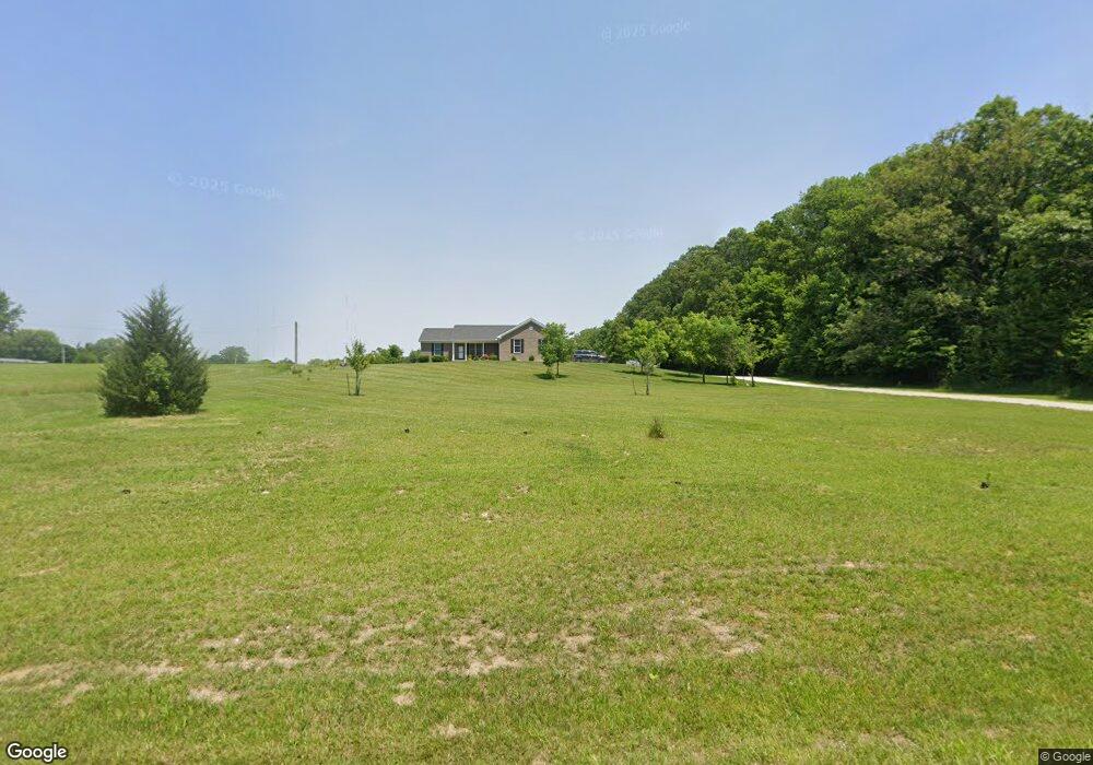
1033 Shelly Ln New Castle, IN 47362
Westwood NeighborhoodEstimated Value: $311,000 - $511,017
--
Bed
--
Bath
1,980
Sq Ft
$196/Sq Ft
Est. Value
About This Home
This home is located at 1033 Shelly Ln, New Castle, IN 47362 and is currently estimated at $389,006, approximately $196 per square foot. 1033 Shelly Ln is a home.
Ownership History
Date
Name
Owned For
Owner Type
Purchase Details
Closed on
Mar 22, 2018
Sold by
Denney Michael E
Bought by
Weaver Clint E and Weaver Dana M
Current Estimated Value
Home Financials for this Owner
Home Financials are based on the most recent Mortgage that was taken out on this home.
Original Mortgage
$50,625
Outstanding Balance
$14,800
Interest Rate
4.38%
Mortgage Type
Future Advance Clause Open End Mortgage
Estimated Equity
$374,206
Purchase Details
Closed on
Mar 21, 2017
Sold by
Alspaugh Richard L and Alspaugh Jeena M
Bought by
Denney Micheal E and Denney Geraldine
Create a Home Valuation Report for This Property
The Home Valuation Report is an in-depth analysis detailing your home's value as well as a comparison with similar homes in the area
Home Values in the Area
Average Home Value in this Area
Purchase History
| Date | Buyer | Sale Price | Title Company |
|---|---|---|---|
| Weaver Clint E | $37,000 | -- | |
| Weaver Clint E | -- | None Available | |
| Denney Micheal E | -- | None Available |
Source: Public Records
Mortgage History
| Date | Status | Borrower | Loan Amount |
|---|---|---|---|
| Open | Weaver Clint E | $50,625 |
Source: Public Records
Tax History Compared to Growth
Tax History
| Year | Tax Paid | Tax Assessment Tax Assessment Total Assessment is a certain percentage of the fair market value that is determined by local assessors to be the total taxable value of land and additions on the property. | Land | Improvement |
|---|---|---|---|---|
| 2024 | $4,035 | $364,200 | $41,800 | $322,400 |
| 2023 | $3,808 | $328,800 | $44,700 | $284,100 |
| 2022 | $3,736 | $320,300 | $43,200 | $277,100 |
| 2021 | $3,476 | $294,200 | $39,900 | $254,300 |
| 2020 | $3,507 | $285,900 | $39,900 | $246,000 |
| 2019 | $78 | $5,900 | $5,900 | $0 |
| 2018 | $124 | $6,100 | $6,100 | $0 |
| 2017 | $143 | $7,000 | $7,000 | $0 |
| 2016 | $151 | $7,400 | $7,400 | $0 |
| 2014 | $148 | $7,400 | $7,400 | $0 |
| 2013 | $148 | $6,400 | $6,400 | $0 |
Source: Public Records
Map
Nearby Homes
- 388 S Homestead Dr
- 330 S Denny Dr
- 320 S Denny Dr
- 320 S Denney Dr
- 1083 W Vickie Ln
- 0000 S Homestead Dr
- 368 S Denny Dr
- 378 S Denny Dr
- 272 S Denny Dr
- 272 S Denney Dr
- 238 S Denny Dr
- 319 S Denny Dr
- 291 S Denny Dr
- 351 S Denny Dr
- 446 S Homestead Dr
- 410 S Denny Dr
- 410 S Denney Dr Dr
- 443 S Homestead Dr
- 1108 W Vickie Ln
- 385 S Denny Dr