1033 Stove Point Rd Deltaville, VA 23043
Estimated Value: $870,319 - $1,286,000
3
Beds
2
Baths
2,860
Sq Ft
$365/Sq Ft
Est. Value
About This Home
This home is located at 1033 Stove Point Rd, Deltaville, VA 23043 and is currently estimated at $1,043,580, approximately $364 per square foot. 1033 Stove Point Rd is a home located in Middlesex County with nearby schools including Middlesex Elementary School, St. Clare Walker Middle School, and Middlesex High School.
Ownership History
Date
Name
Owned For
Owner Type
Purchase Details
Closed on
Jul 8, 2024
Sold by
Bayside Lane Llc
Bought by
Bayside Lane Llc
Current Estimated Value
Purchase Details
Closed on
Jun 19, 2024
Sold by
Lennarz David and Lennarz Alison Vail
Bought by
Bayside Lane Llc
Purchase Details
Closed on
Oct 9, 2012
Sold by
Arnold Richard H and Carroll Nancy B
Bought by
Lennarz David
Home Financials for this Owner
Home Financials are based on the most recent Mortgage that was taken out on this home.
Original Mortgage
$417,000
Interest Rate
3.66%
Mortgage Type
New Conventional
Create a Home Valuation Report for This Property
The Home Valuation Report is an in-depth analysis detailing your home's value as well as a comparison with similar homes in the area
Home Values in the Area
Average Home Value in this Area
Purchase History
| Date | Buyer | Sale Price | Title Company |
|---|---|---|---|
| Bayside Lane Llc | -- | None Listed On Document | |
| Bayside Lane Llc | -- | First American Title | |
| Lennarz David | $600,000 | -- |
Source: Public Records
Mortgage History
| Date | Status | Borrower | Loan Amount |
|---|---|---|---|
| Previous Owner | Lennarz David | $417,000 |
Source: Public Records
Tax History Compared to Growth
Tax History
| Year | Tax Paid | Tax Assessment Tax Assessment Total Assessment is a certain percentage of the fair market value that is determined by local assessors to be the total taxable value of land and additions on the property. | Land | Improvement |
|---|---|---|---|---|
| 2025 | $3,993 | $659,800 | $137,000 | $522,800 |
| 2024 | $4,025 | $659,800 | $137,000 | $522,800 |
| 2023 | $4,025 | $659,800 | $137,000 | $522,800 |
| 2022 | $4,025 | $659,800 | $137,000 | $522,800 |
| 2021 | $3,745 | $604,100 | $257,500 | $346,600 |
| 2020 | $3,745 | $604,100 | $257,500 | $346,600 |
| 2019 | $3,745 | $604,100 | $257,500 | $346,600 |
| 2018 | $3,383 | $604,100 | $257,500 | $346,600 |
| 2017 | $3,383 | $604,100 | $257,500 | $346,600 |
| 2016 | $3,175 | $599,100 | $256,000 | $343,100 |
| 2015 | -- | $0 | $0 | $0 |
| 2014 | -- | $0 | $0 | $0 |
| 2013 | -- | $0 | $0 | $0 |
Source: Public Records
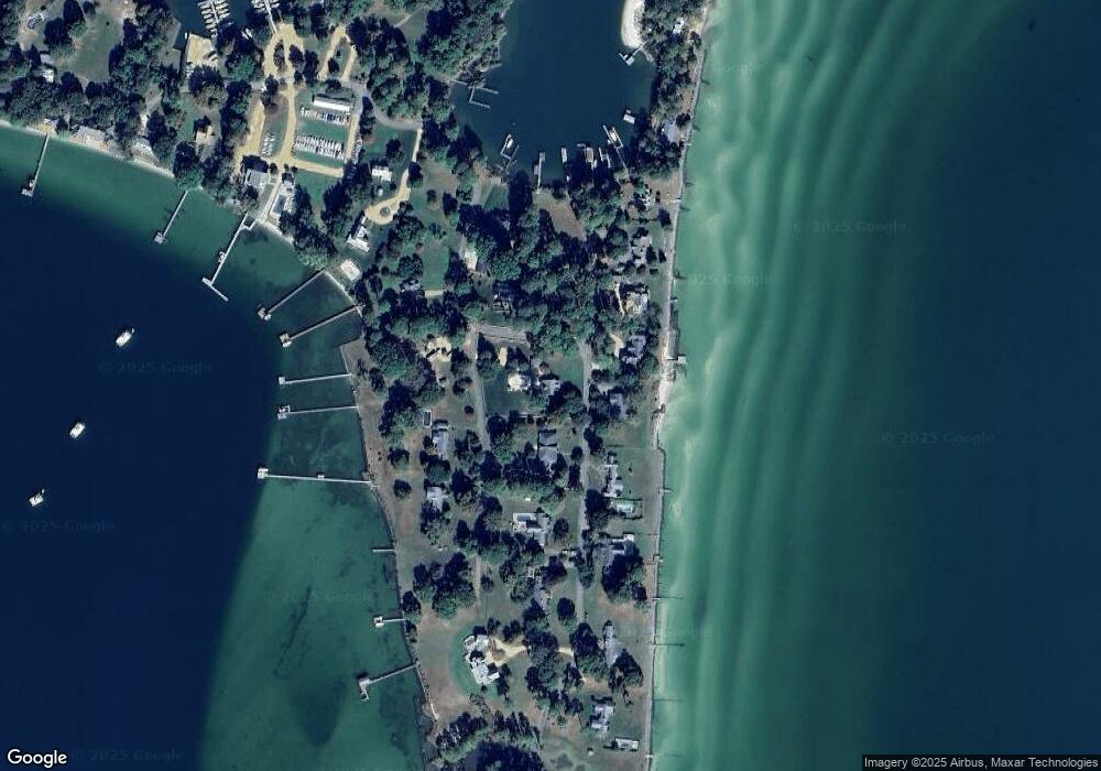
Map
Nearby Homes
- 65 Oyster Shell Rd Unit 10
- 335 Jackson Creek Rd
- 26 Tupelo St
- 211 Porpoise Cove Ln
- 138 Delta Dr
- 257 Horseshoe Bend Rd
- 117 Lark Dr
- 59 Captains Reef Rd
- 00 Richmond Rd
- 82 Sturgeon St
- 1028 Timberneck Rd
- 16527 General Puller Hwy
- 253 Old Camp Ln
- 1061 Timberneck Rd
- 124 Montgomery Cove Rd
- 44 Cardinal Trail
- 76 Cardinal Trail
- 959 Robins Point Ave
- -1/4AC Wolverine Rd
- 022 Wolverine Rd
- 1001 Stove Point Rd
- 1022 Stove Point Rd
- 1062 Stove Point Rd
- 984 Stove Point Rd
- 1093 Stove Point Rd
- 54 Bayside Ln
- 1080 Stove Point Rd
- 14 Bayside Ln
- 957 Stove Point Rd
- 946 Stove Point Rd
- 1096 Stove Point Rd
- 1723 Fishing Bay Rd
- 94 Bayside Ln
- 919 Stove Point Rd
- 1104 Stove Point Rd
- 132 Bayside Ln
- 1620 Fishing Bay Rd
- 898 Stove Point Rd
- 1202 Stove Point Rd
- 869 Stove Point Rd