1033 W Oaks Dr Howell, MI 48843
Estimated Value: $431,000 - $518,000
--
Bed
1
Bath
2,330
Sq Ft
$200/Sq Ft
Est. Value
About This Home
This home is located at 1033 W Oaks Dr, Howell, MI 48843 and is currently estimated at $467,155, approximately $200 per square foot. 1033 W Oaks Dr is a home located in Livingston County with nearby schools including Southwest Elementary School, Parker Middle School, and Howell High School.
Ownership History
Date
Name
Owned For
Owner Type
Purchase Details
Closed on
Nov 9, 2010
Sold by
Vanhuylenbrouck David L and Adams Byron F
Bought by
Adams Byron F and Vanhuylenbrouck David L
Current Estimated Value
Purchase Details
Closed on
Nov 24, 2003
Sold by
Vranish Judith A and Adams Byron Franklin
Bought by
Adams Byron F and Vanhuylenbrouck David L
Home Financials for this Owner
Home Financials are based on the most recent Mortgage that was taken out on this home.
Original Mortgage
$140,000
Interest Rate
6.08%
Mortgage Type
Stand Alone Refi Refinance Of Original Loan
Create a Home Valuation Report for This Property
The Home Valuation Report is an in-depth analysis detailing your home's value as well as a comparison with similar homes in the area
Home Values in the Area
Average Home Value in this Area
Purchase History
| Date | Buyer | Sale Price | Title Company |
|---|---|---|---|
| Adams Byron F | -- | -- | |
| Adams Byron F | -- | -- |
Source: Public Records
Mortgage History
| Date | Status | Borrower | Loan Amount |
|---|---|---|---|
| Previous Owner | Adams Byron F | $140,000 | |
| Closed | Adams Byron F | $55,000 |
Source: Public Records
Tax History Compared to Growth
Tax History
| Year | Tax Paid | Tax Assessment Tax Assessment Total Assessment is a certain percentage of the fair market value that is determined by local assessors to be the total taxable value of land and additions on the property. | Land | Improvement |
|---|---|---|---|---|
| 2025 | $2,988 | $228,100 | $0 | $0 |
| 2024 | $1,985 | $228,300 | $0 | $0 |
| 2023 | $1,896 | $216,000 | $0 | $0 |
| 2022 | $2,522 | $171,300 | $0 | $0 |
| 2021 | $2,522 | $171,300 | $0 | $0 |
| 2020 | $2,564 | $165,700 | $0 | $0 |
| 2019 | $2,525 | $157,700 | $0 | $0 |
| 2018 | $2,494 | $146,800 | $0 | $0 |
| 2017 | $2,462 | $143,500 | $0 | $0 |
| 2016 | $2,448 | $147,000 | $0 | $0 |
| 2014 | $2,376 | $121,900 | $0 | $0 |
| 2012 | $2,376 | $114,000 | $0 | $0 |
Source: Public Records
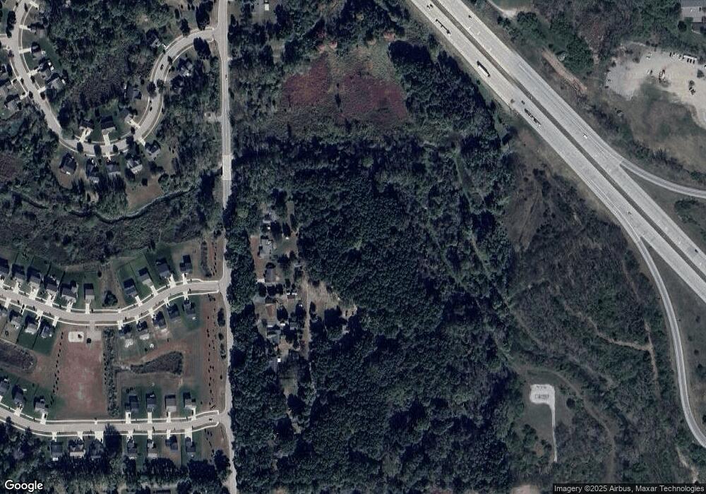
Map
Nearby Homes
- 750 Dewars St
- 1285 N Alstott Dr
- 319 Tullamore St
- Lot 3 of Lockes St
- Lot 1 of Lockes St
- 457 Hosta
- 909 S Michigan Ave
- 213 Pulford St
- 870 Spirea
- 210 Canyon Creek Ct Unit 2
- 1012 Camellia Cir Unit 48
- 1025 Camellia Cir Unit 41
- 1034 Camellia Cir Unit 46
- 1044 Camellia Cir Unit 45
- 1031 Camellia Cir Unit 40
- 1054 Camellia Cir Unit 44
- 313 Maple St
- 609 Fleming St
- 1154 York Ave
- 421 S Walnut St
- 1055 W Oaks Dr
- 1037 Peavy Rd
- 1053 Peavy Rd
- 1045 Peavy Rd
- 1029 Peavy Rd
- 1021 Peavy Rd
- 1061 Peavy Rd
- 1069 Peavy Rd
- 1022 Weatherstone Ln
- 1029 Weatherstone Ln
- 1085 Peavy Rd
- 1034 Weatherstone Ln
- TBD-Lot 03 Weatherstone Ln
- 1099 W Oaks Dr
- 1061 Weatherstone Ln
- 551 Hewitt St
- 1093 Peavy Rd
- 1020 Kenny Brook Ln
- 1073 Weatherstone Ln
- 563 Hewitt St Unit 49