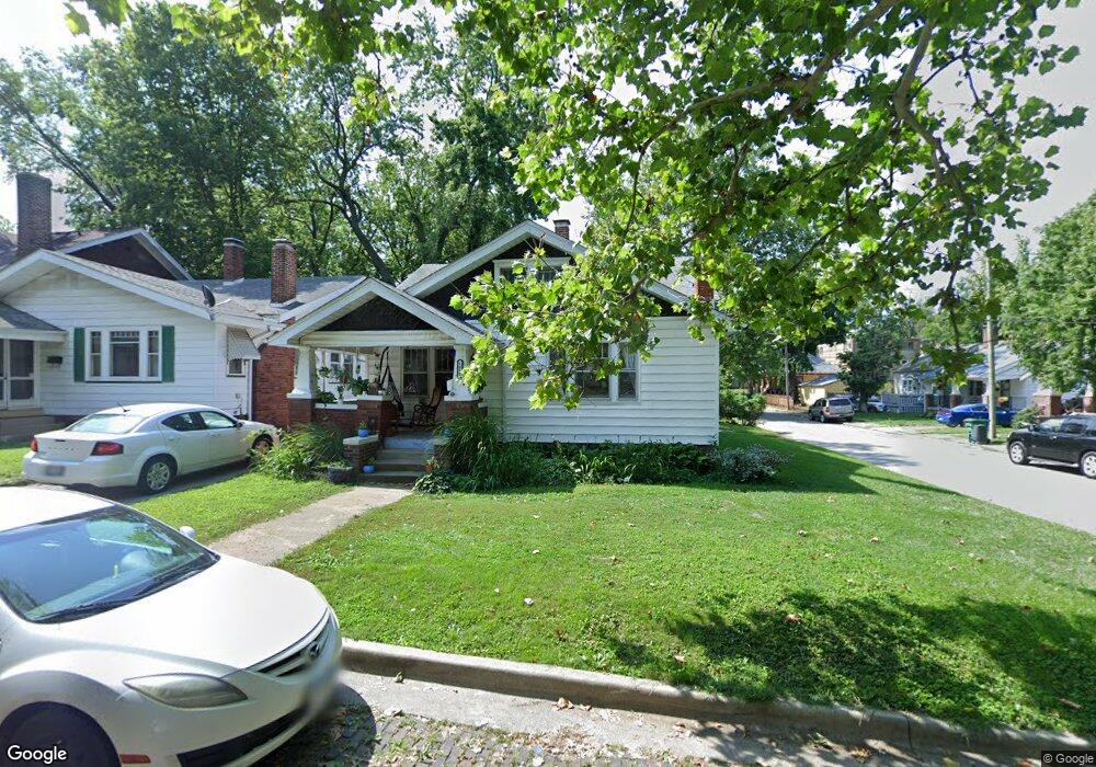
1033 W Prairie Ave Decatur, IL 62522
Millikin Home NeighborhoodEstimated Value: $73,000 - $82,000
2
Beds
1
Bath
2,319
Sq Ft
$33/Sq Ft
Est. Value
About This Home
This home is located at 1033 W Prairie Ave, Decatur, IL 62522 and is currently estimated at $75,840, approximately $32 per square foot. 1033 W Prairie Ave is a home located in Macon County with nearby schools including Dennis Lab School and Teen Challenge-Home For Girls.
Ownership History
Date
Name
Owned For
Owner Type
Purchase Details
Closed on
Aug 22, 2022
Sold by
Paul Shields Zachary
Bought by
Plumley Shaina
Current Estimated Value
Purchase Details
Closed on
Jun 25, 2018
Sold by
Hollymount Group Llc
Bought by
Shields Zaegary Paul and Shields Julienne Wheat
Purchase Details
Closed on
May 1, 2000
Create a Home Valuation Report for This Property
The Home Valuation Report is an in-depth analysis detailing your home's value as well as a comparison with similar homes in the area
Home Values in the Area
Average Home Value in this Area
Purchase History
| Date | Buyer | Sale Price | Title Company |
|---|---|---|---|
| Plumley Shaina | $54,500 | -- | |
| Shields Zaegary Paul | $35,500 | None Available | |
| -- | $30,000 | -- |
Source: Public Records
Tax History Compared to Growth
Tax History
| Year | Tax Paid | Tax Assessment Tax Assessment Total Assessment is a certain percentage of the fair market value that is determined by local assessors to be the total taxable value of land and additions on the property. | Land | Improvement |
|---|---|---|---|---|
| 2024 | $1,457 | $21,052 | $1,435 | $19,617 |
| 2023 | $1,424 | $20,307 | $1,384 | $18,923 |
| 2022 | $1,824 | $17,839 | $1,216 | $16,623 |
| 2021 | $1,714 | $16,659 | $1,135 | $15,524 |
| 2020 | $1,689 | $15,885 | $1,082 | $14,803 |
| 2019 | $1,689 | $15,885 | $1,082 | $14,803 |
| 2018 | $1,675 | $15,938 | $1,086 | $14,852 |
| 2017 | $1,714 | $16,363 | $1,115 | $15,248 |
| 2016 | $1,747 | $16,530 | $1,126 | $15,404 |
| 2015 | $1,660 | $16,238 | $1,106 | $15,132 |
| 2014 | $1,541 | $16,077 | $1,095 | $14,982 |
| 2013 | $1,592 | $16,681 | $1,136 | $15,545 |
Source: Public Records
Map
Nearby Homes
- 1005 W Main St
- 958 W William St
- 899 W Main St
- 254 N Pine St
- 717 W Prairie Ave Unit 2
- 657 W Wood St
- 609 W William St
- 1065 W Green St
- 612 W Macon St
- 441 S Seigel St
- 617 W Decatur St
- 452 W Prairie Ave
- 266 Cobb Ave
- 442 W Prairie Ave
- 875 N Monroe St
- 422 W William St
- 628 W Forest Ave
- 1391 W Decatur St
- 450 W Macon St
- 233 N Edward St
- 1027 W Prairie Ave
- 148 Home Ave
- 1023 W Prairie Ave
- 1030 W Prairie Ave
- 161 Home Ave
- 155 Home Ave
- 140 Home Ave
- 145 Home Ave
- 1017 W Prairie Ave
- 1042 W Prairie Ave
- 1020 W Prairie Ave
- 210 Home Ave
- 137 Home Ave
- 126 Home Ave
- 1057 W Prairie Ave
- 1016 W Prairie Ave
- 1009 W Prairie Ave
- 1054 W Prairie Ave
- 1005 W Prairie Ave
- 224 Home Ave