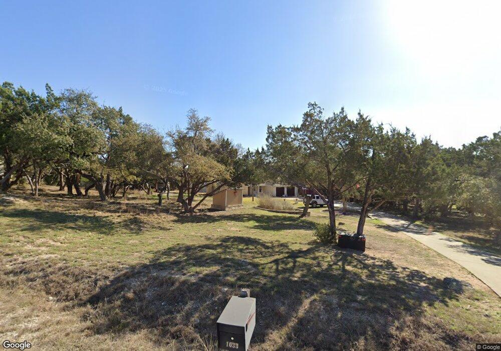
1033 Westland Ridge Rd Dripping Springs, TX 78620
Sunset Canyon NeighborhoodEstimated Value: $589,407 - $645,000
--
Bed
--
Bath
1,771
Sq Ft
$344/Sq Ft
Est. Value
About This Home
This home is located at 1033 Westland Ridge Rd, Dripping Springs, TX 78620 and is currently estimated at $609,852, approximately $344 per square foot. 1033 Westland Ridge Rd is a home located in Hays County with nearby schools including Dripping Springs Middle School, Dripping Springs High School, and Aesa Prep Academy.
Ownership History
Date
Name
Owned For
Owner Type
Purchase Details
Closed on
Dec 18, 2006
Sold by
Washington Mutual Bank
Bought by
Federal National Mortgage Association
Current Estimated Value
Purchase Details
Closed on
Dec 6, 2006
Sold by
Greco Stephen and Greco Debora
Bought by
Washington Mutual Bank
Purchase Details
Closed on
Dec 5, 2006
Sold by
Greco Stephen and Greco Debora
Bought by
Federal National Mtg Association
Create a Home Valuation Report for This Property
The Home Valuation Report is an in-depth analysis detailing your home's value as well as a comparison with similar homes in the area
Home Values in the Area
Average Home Value in this Area
Purchase History
| Date | Buyer | Sale Price | Title Company |
|---|---|---|---|
| Federal National Mortgage Association | -- | None Available | |
| Washington Mutual Bank | $179,217 | None Available | |
| Federal National Mtg Association | -- | -- |
Source: Public Records
Tax History Compared to Growth
Tax History
| Year | Tax Paid | Tax Assessment Tax Assessment Total Assessment is a certain percentage of the fair market value that is determined by local assessors to be the total taxable value of land and additions on the property. | Land | Improvement |
|---|---|---|---|---|
| 2025 | $9,355 | $562,967 | $313,970 | $248,997 |
| 2024 | $9,355 | $598,139 | $313,970 | $284,169 |
| 2023 | $11,280 | $747,020 | $313,970 | $433,050 |
| 2022 | $9,907 | $580,840 | $132,080 | $448,760 |
| 2021 | $7,336 | $392,110 | $132,080 | $260,030 |
| 2020 | $6,828 | $364,940 | $83,020 | $281,920 |
| 2019 | $6,861 | $332,680 | $73,530 | $259,150 |
| 2018 | $6,591 | $317,860 | $73,530 | $244,330 |
| 2017 | $6,501 | $311,120 | $73,530 | $237,590 |
| 2016 | $5,935 | $284,060 | $73,530 | $210,530 |
| 2015 | $5,046 | $284,860 | $60,720 | $224,140 |
Source: Public Records
Map
Nearby Homes
- 1021 Westland Ridge Rd
- 1006 Foothills Dr
- 1120 Canyon View Rd
- 1026 Canyon Bend Dr
- 1440 Deerfield Rd
- 351 Fawn Meadow Dr
- 110 Longhorn Ln
- 159 Catfish Cove
- 1010 Meadow Ridge Dr
- 220 Fawn Meadow Dr
- 411 Whitetail Ridge
- 1305 Park Cove
- TBD N Sunset Canyon Dr
- 121 White Wash
- 294 Frog Pond Ln
- TBD Tbd Troutwein Rd SW
- 175 Blazing Star Dr
- 601 Hays Country Acres Rd
- 201 N Canyonwood Dr
- 724 Chama Trace
- 1035 Westland Ridge
- 1031 Westland Ridge Rd
- 1037 Westland Ridge Rd
- 1029 Westland Ridge
- 1048 Sunset Canyon Dr S
- 1029 Westland Ridge Rd
- 1050 Sunset Canyon Dr S
- 1050 Sunset Canyon Dr S
- 1052 Sunset Canyon Dr S
- 1003 Oak Cir
- 1039 Westland Ridge Rd
- 1028 Westland Ridge Rd
- 1054 Sunset Canyon Dr S
- 1054 Sunset Canyon Dr S
- 1032 Westland Ridge Rd
- 1027 Westland Ridge Rd
- 1027 Westland Ridge Rd
- 1054 S Sunset Canyon Dr
- 1046 Sunset Canyon Dr S
- 1044 Sunset Canyon Dr S