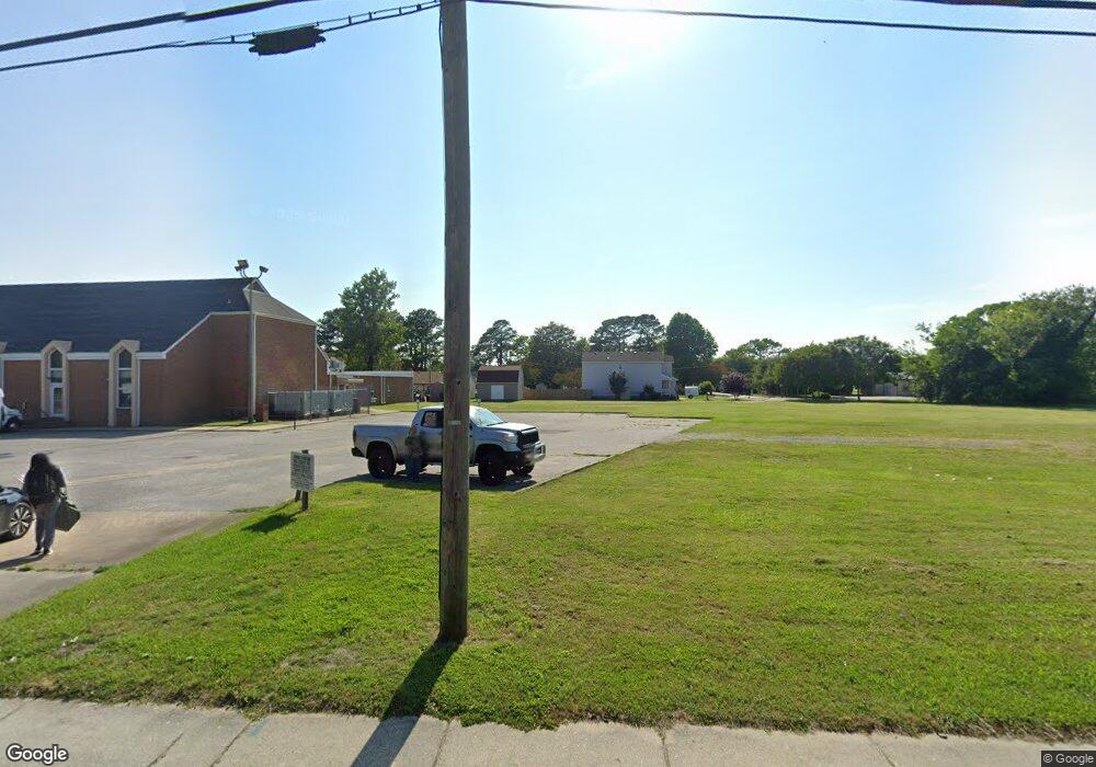
1033 Wolcott Ave Norfolk, VA 23513
Coronado NeighborhoodEstimated Value: $209,984 - $352,000
--
Bed
--
Bath
--
Sq Ft
7,013
Sq Ft Lot
About This Home
This home is located at 1033 Wolcott Ave, Norfolk, VA 23513 and is currently estimated at $246,746. 1033 Wolcott Ave is a home located in Norfolk City with nearby schools including Frances E. Willard Model Elementary School, Norview Middle School, and Norview High School.
Ownership History
Date
Name
Owned For
Owner Type
Purchase Details
Closed on
Aug 2, 2010
Sold by
Gpmc Properties Llc
Bought by
Olive Grove Baptist Church
Current Estimated Value
Purchase Details
Closed on
Mar 21, 2008
Sold by
Kfr Llc
Bought by
Gpmc Properties Llc
Purchase Details
Closed on
Mar 25, 2005
Sold by
Draper
Bought by
Krf Llc
Create a Home Valuation Report for This Property
The Home Valuation Report is an in-depth analysis detailing your home's value as well as a comparison with similar homes in the area
Home Values in the Area
Average Home Value in this Area
Purchase History
| Date | Buyer | Sale Price | Title Company |
|---|---|---|---|
| Olive Grove Baptist Church | $120,000 | Southern Title Ins Corp | |
| Gpmc Properties Llc | $120,000 | None Available | |
| Krf Llc | $91,000 | -- |
Source: Public Records
Tax History Compared to Growth
Tax History
| Year | Tax Paid | Tax Assessment Tax Assessment Total Assessment is a certain percentage of the fair market value that is determined by local assessors to be the total taxable value of land and additions on the property. | Land | Improvement |
|---|---|---|---|---|
| 2025 | $828 | $66,200 | $66,200 | $0 |
| 2024 | $828 | $66,200 | $66,200 | $0 |
| 2023 | $828 | $66,200 | $66,200 | $0 |
| 2022 | $611 | $48,900 | $48,900 | $0 |
| 2021 | $583 | $46,600 | $46,600 | $0 |
| 2020 | $481 | $38,500 | $38,500 | $0 |
| 2019 | $438 | $35,000 | $35,000 | $0 |
| 2018 | $438 | $35,000 | $35,000 | $0 |
| 2017 | $403 | $35,000 | $35,000 | $0 |
| 2016 | $403 | $35,000 | $35,000 | $0 |
| 2015 | $403 | $35,000 | $35,000 | $0 |
| 2014 | $403 | $35,000 | $35,000 | $0 |
Source: Public Records
Map
Nearby Homes
- 1038 Philpotts Rd
- 1037 Philpotts Rd
- 985 Wolcott Ave
- 977 Wolcott Ave
- 983 Widgeon Rd
- 6459 Clare Rd
- 6416 Palem Rd
- 974 Philpotts Rd
- 6400 Clare Rd
- 955 Marietta Ave
- 1203 Curie Ct
- 1041 Tifton St
- 1200 Underwood Ave
- 1221 Curie Ct
- 943 Philpotts Rd
- 936 Widgeon Rd
- 6433 Faraday Ct
- 1044 Kane St
- 7021 University Dr
- 1072 Kane St
- 1031 Wolcott Ave
- 1034 Albert Ave
- 1029 Wolcott Ave
- 6706 Palem Rd
- 1028 Albert Ave
- 6801 Sewells Point Rd
- 6809 Sewells Point Rd
- 6719 Palem Rd
- 6707 Palem Rd
- 6618 Palem Rd
- 6703 Palem Rd
- 6619 Sewells Point Rd
- 1033 Albert Ave
- 1037 Albert Ave
- 6614 Palem Rd
- 1017 Wolcott Ave
- 6615 Sewells Point Rd
- 1018 Albert Ave
- 6610 Palem Rd
- 6611 Sewells Point Rd