10335 E Creekside Dr Unit 1 Cornville, AZ 86325
2
Beds
--
Bath
1,024
Sq Ft
0.25
Acres
About This Home
This home is located at 10335 E Creekside Dr Unit 1, Cornville, AZ 86325. 10335 E Creekside Dr Unit 1 is a home located in Yavapai County with nearby schools including Oak Creek School, Cottonwood Community School, and Cottonwood Middle School.
Ownership History
Date
Name
Owned For
Owner Type
Purchase Details
Closed on
May 10, 2023
Sold by
Walapai Development Llc
Bought by
Mower Dawn Marie
Purchase Details
Closed on
Feb 16, 2023
Sold by
Trustee Corps
Bought by
Walapai Development Llc
Purchase Details
Closed on
Jul 1, 2004
Sold by
Bar J Builders Inc
Bought by
Sherbert Almon S
Home Financials for this Owner
Home Financials are based on the most recent Mortgage that was taken out on this home.
Original Mortgage
$20,000
Interest Rate
6.31%
Mortgage Type
Purchase Money Mortgage
Purchase Details
Closed on
May 9, 2003
Sold by
Sousa Arthur E and Sousa Karen L
Bought by
Bar J Builders Inc
Purchase Details
Closed on
Jul 22, 1997
Sold by
Sousa Arthur E
Bought by
Sousa Arthur E and Sousa Karen L
Purchase Details
Closed on
Jun 11, 1997
Sold by
Sousa Arthur E and Sousa Alice C
Bought by
Sousa Arthur E
Purchase Details
Closed on
Sep 20, 1995
Sold by
Jcr Properties Inc
Bought by
Sousa Arthur E and Sousa Alice
Create a Home Valuation Report for This Property
The Home Valuation Report is an in-depth analysis detailing your home's value as well as a comparison with similar homes in the area
Home Values in the Area
Average Home Value in this Area
Purchase History
| Date | Buyer | Sale Price | Title Company |
|---|---|---|---|
| Mower Dawn Marie | $386,000 | Empire Title | |
| Walapai Development Llc | $221,261 | Servicelink | |
| Sherbert Almon S | $184,900 | Capital Title Agency | |
| Bar J Builders Inc | $95,700 | Capital Title Agency | |
| Sousa Arthur E | -- | -- | |
| Sousa Arthur E | -- | -- | |
| Sousa Arthur E | $75,000 | Yavapai Coconino Title Agenc |
Source: Public Records
Mortgage History
| Date | Status | Borrower | Loan Amount |
|---|---|---|---|
| Previous Owner | Sherbert Almon S | $20,000 |
Source: Public Records
Tax History Compared to Growth
Tax History
| Year | Tax Paid | Tax Assessment Tax Assessment Total Assessment is a certain percentage of the fair market value that is determined by local assessors to be the total taxable value of land and additions on the property. | Land | Improvement |
|---|---|---|---|---|
| 2026 | $1,290 | $26,613 | -- | -- |
| 2024 | $1,239 | $24,552 | -- | -- |
| 2023 | $1,239 | $19,560 | $0 | $0 |
| 2022 | $1,218 | $14,498 | $1,893 | $12,605 |
| 2021 | $1,272 | $13,448 | $1,801 | $11,647 |
| 2020 | $1,249 | $0 | $0 | $0 |
| 2019 | $1,227 | $0 | $0 | $0 |
| 2018 | $1,177 | $0 | $0 | $0 |
| 2017 | $1,126 | $0 | $0 | $0 |
| 2016 | $1,034 | $0 | $0 | $0 |
| 2015 | $1,074 | $0 | $0 | $0 |
| 2014 | $1,021 | $0 | $0 | $0 |
Source: Public Records
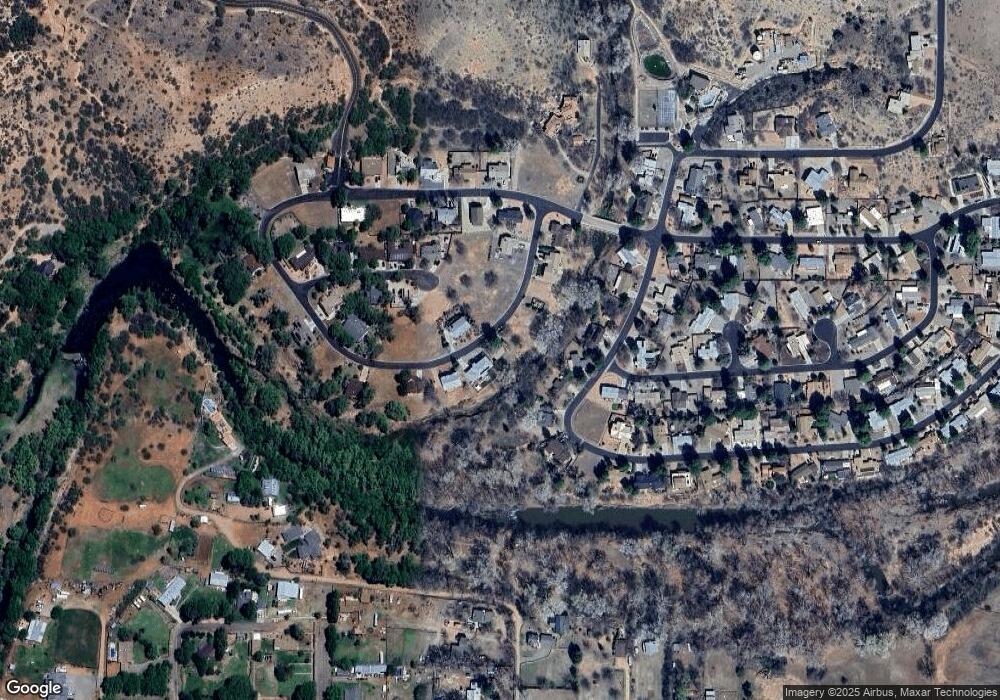
Map
Nearby Homes
- 10360 E Creekside Dr Unit 127
- 10295 E Cottonwood Ct Unit 136
- 10555 E Quail Run Rd
- 10755 E Oak Creek Trail
- 10725 E Valley View Dr Unit 174
- 10580 E Swinging Bridge Ln
- 10973 E Majestic Vista Ln Unit 1
- 10647 E Swinging Bridge Ln
- 465 S Bonita Ranch Loop Unit 22
- 235 S Bonito Ranch Loop Unit 26
- 100 S Blue Heron Dr
- 0000 E Willow Point Rd
- 275 S El Rancho Bonito Rd Unit lot25
- 220 S Bright Star Ln
- 10885 E Pear Tree Dr
- 10425 E Willow Dr
- 10883 E Pear Tree Dr Unit 14
- 10881 E Pear Tree Dr Unit 15
- 800 N Aspaas Rd
- 11365 E Adams Ln
- 10335 E Creekside Dr Unit 2
- 10325 E Creekside Dr Unit 2
- 10325 E Creekside (Lot 119) Dr
- 610 N Spring Creek Trail Unit 1
- 610 N Spring Creek Trail
- 10305 E Creekside Dr Unit 2
- 10305 E Creekside Dr
- 10355 E Creekside Dr
- 10360 E Creekside Dr Unit 2
- 10360 E Creekside Dr
- 630 N Spring Creek Trail Unit 1
- 600 N Spring Creek Trail Unit 1
- 10375 E Oak Creek Trail
- 10255 E Creekside Dr