10335 State Highway 32 Stockton, MO 65785
Estimated Value: $169,581 - $349,000
--
Bed
--
Bath
--
Sq Ft
13
Acres
About This Home
This home is located at 10335 State Highway 32, Stockton, MO 65785 and is currently estimated at $259,291. 10335 State Highway 32 is a home located in Cedar County with nearby schools including Stockton Elementary School, Stockton Middle School, and Stockton High School.
Ownership History
Date
Name
Owned For
Owner Type
Purchase Details
Closed on
Oct 9, 2024
Sold by
Adkins Daniel Wayne and Adkins Sarah
Bought by
Hwy 32 Land Llc
Current Estimated Value
Home Financials for this Owner
Home Financials are based on the most recent Mortgage that was taken out on this home.
Original Mortgage
$74,500
Outstanding Balance
$73,717
Interest Rate
6.35%
Mortgage Type
New Conventional
Estimated Equity
$185,574
Purchase Details
Closed on
Jul 1, 2021
Sold by
Needmore Land Llc
Bought by
Adkins Daniel Wayne
Create a Home Valuation Report for This Property
The Home Valuation Report is an in-depth analysis detailing your home's value as well as a comparison with similar homes in the area
Home Values in the Area
Average Home Value in this Area
Purchase History
| Date | Buyer | Sale Price | Title Company |
|---|---|---|---|
| Hwy 32 Land Llc | -- | None Listed On Document | |
| Adkins Daniel Wayne | -- | None Available |
Source: Public Records
Mortgage History
| Date | Status | Borrower | Loan Amount |
|---|---|---|---|
| Open | Hwy 32 Land Llc | $74,500 |
Source: Public Records
Tax History Compared to Growth
Tax History
| Year | Tax Paid | Tax Assessment Tax Assessment Total Assessment is a certain percentage of the fair market value that is determined by local assessors to be the total taxable value of land and additions on the property. | Land | Improvement |
|---|---|---|---|---|
| 2025 | $544 | $12,350 | $12,350 | $0 |
| 2024 | $544 | $12,350 | $12,350 | $0 |
| 2023 | $136 | $3,090 | $0 | $0 |
| 2022 | $41 | $940 | $0 | $0 |
| 2021 | $40 | $940 | $0 | $0 |
| 2020 | $40 | $910 | $0 | $0 |
| 2019 | $106 | $2,480 | $0 | $0 |
| 2018 | $112 | $2,620 | $0 | $0 |
| 2017 | -- | $2,620 | $0 | $0 |
| 2016 | -- | $2,620 | $0 | $0 |
| 2015 | -- | $2,620 | $0 | $0 |
| 2014 | -- | $2,520 | $0 | $0 |
| 2013 | -- | $2,520 | $0 | $0 |
Source: Public Records
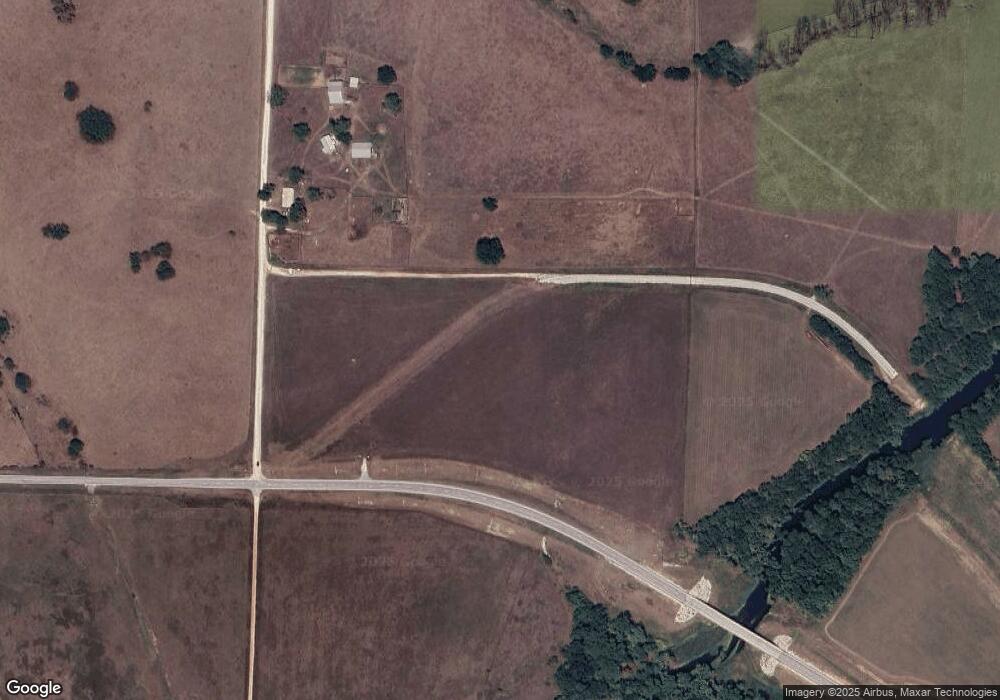
Map
Nearby Homes
- 9661 E 1070 Rd
- 000 E 1000 Rd
- 11620 S 1215 Rd
- 11998 E Highway 32
- 11975 E 1100 Rd
- 11998 State Hwy 32
- 11861 E 1350 Rd
- 10665 S 1275 Rd
- 8400 E 1320 Rd
- 13650 State Highway 39
- 9177 751 Rd
- 003 E 1400 Rd
- 000 State Highway 39
- 6879 E Highway 32
- 12175 S B Hwy
- 708 West St
- 602 W Highway 32
- 602 W 32 Hwy
- 315 Skyline Dr
- 9990 E 1650 Rd
- 000 Tract 4 State Highway 32
- 000 Tract 1 State Highway 32
- 000 Tract 3 State Highway 32
- 000 Tract 2 State Highway 32
- 10335 E Highway 32 Tract 4
- 10335 E Highway 32 Tract 3
- 10335 E Highway 32 Tract 2
- 10335 E Highway 32 Tract 1
- 10335 E Hwy 32 Tract 2
- 10335 E Hwy 32 Tract 1
- 10335 E Hwy 32 Tract 3
- 10335 E Hwy 32 Tract 4
- 000 W 32
- 11295 S 1025 Rd
- 10250 E Highway 32
- 10868 E Highway 32
- 10866 E Highway 32
- TBD 1025 Rd
- 10985 E Highway 32
- 10625 S 1025 Rd