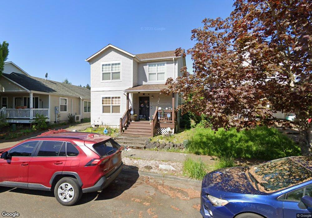
10337 N Barr Ave Portland, OR 97203
Saint Johns NeighborhoodEstimated Value: $417,000 - $444,626
3
Beds
2
Baths
1,310
Sq Ft
$326/Sq Ft
Est. Value
About This Home
This home is located at 10337 N Barr Ave, Portland, OR 97203 and is currently estimated at $427,657, approximately $326 per square foot. 10337 N Barr Ave is a home located in Multnomah County with nearby schools including Sitton Elementary School, George Middle School, and Roosevelt High School.
Ownership History
Date
Name
Owned For
Owner Type
Purchase Details
Closed on
Dec 10, 2007
Sold by
Cannon Randy B
Bought by
Price Cynthia D
Current Estimated Value
Home Financials for this Owner
Home Financials are based on the most recent Mortgage that was taken out on this home.
Original Mortgage
$206,045
Outstanding Balance
$129,827
Interest Rate
6.3%
Mortgage Type
FHA
Estimated Equity
$297,830
Purchase Details
Closed on
Apr 17, 2002
Sold by
Host Development Inc
Bought by
Cannon Randy B and Copeland Danielle S
Home Financials for this Owner
Home Financials are based on the most recent Mortgage that was taken out on this home.
Original Mortgage
$134,833
Interest Rate
6.87%
Mortgage Type
FHA
Create a Home Valuation Report for This Property
The Home Valuation Report is an in-depth analysis detailing your home's value as well as a comparison with similar homes in the area
Home Values in the Area
Average Home Value in this Area
Purchase History
| Date | Buyer | Sale Price | Title Company |
|---|---|---|---|
| Price Cynthia D | $209,000 | Transnation Title Agency Or | |
| Cannon Randy B | $136,950 | Oregon Title Insurance Co |
Source: Public Records
Mortgage History
| Date | Status | Borrower | Loan Amount |
|---|---|---|---|
| Open | Price Cynthia D | $206,045 | |
| Previous Owner | Cannon Randy B | $134,833 |
Source: Public Records
Tax History Compared to Growth
Tax History
| Year | Tax Paid | Tax Assessment Tax Assessment Total Assessment is a certain percentage of the fair market value that is determined by local assessors to be the total taxable value of land and additions on the property. | Land | Improvement |
|---|---|---|---|---|
| 2025 | $4,724 | $175,330 | -- | -- |
| 2024 | $4,555 | $170,230 | -- | -- |
| 2023 | $4,380 | $165,280 | $0 | $0 |
| 2022 | $4,285 | $160,470 | $0 | $0 |
| 2021 | $4,212 | $155,800 | $0 | $0 |
| 2020 | $3,865 | $151,270 | $0 | $0 |
| 2019 | $3,723 | $146,870 | $0 | $0 |
| 2018 | $3,613 | $142,600 | $0 | $0 |
| 2017 | $3,463 | $138,450 | $0 | $0 |
| 2016 | $3,169 | $134,420 | $0 | $0 |
| 2015 | $3,086 | $130,510 | $0 | $0 |
| 2014 | $3,040 | $126,710 | $0 | $0 |
Source: Public Records
Map
Nearby Homes
- 9619 N Kalmar St
- 8345 N Bliss St
- 9545 N Iris Way
- 8209 N Fessenden St
- 9418 N Bristol Ave
- 9414 N Bristol Ave
- 9416 N Bristol Ave
- 8913 N Seneca St
- 9523 N Allegheny Ave
- 9563 N Polk Ave
- 8420 N Smith St
- 9816 N Central St
- 10035 N Calhoun Ave
- 9314 N Tioga Ave
- 7467 N New York Ave Unit 5
- 7471 N New York Ave Unit 3
- 7428 N Saint Louis Ave
- 8507 N Mohawk Ave
- 8083 N Leavitt Ave Unit 161
- 9334 N Lombard St
- 10341 N Barr Ave
- 10333 N Barr Ave
- 10329 N Barr Ave
- 10353 N Barr Ave
- 10325 N Barr Ave
- 10429 N Barr Ave
- 10348 N Barr Ave
- 10342 N Barr Ave
- 10317 N Barr Ave
- 10435 N Barr Ave
- 10328 N Barr Ave
- 8447 N Johnswood Dr
- 10311 N Barr Ave
- 10316 N Barr Ave
- 8424 N Johnswood Dr
- 10441 N Barr Ave
- 8439 N Johnswood Dr
- 10310 N Barr Ave
- 8431 N Johnswood Dr
- 8418 N Johnswood Dr