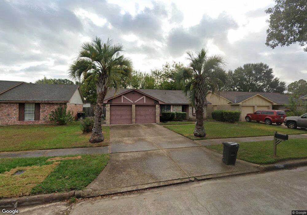
10338 Misty River Dr Houston, TX 77086
North Houston NeighborhoodEstimated Value: $197,248 - $214,000
3
Beds
2
Baths
1,268
Sq Ft
$160/Sq Ft
Est. Value
About This Home
This home is located at 10338 Misty River Dr, Houston, TX 77086 and is currently estimated at $203,062, approximately $160 per square foot. 10338 Misty River Dr is a home located in Harris County with nearby schools including Kujawa EC/Pre-K/K School, Carmichael Elementary School, and Shotwell Middle School.
Ownership History
Date
Name
Owned For
Owner Type
Purchase Details
Closed on
Jun 28, 2023
Sold by
Miller Quentin M
Bought by
Jackson Barbara
Current Estimated Value
Purchase Details
Closed on
Apr 2, 2001
Sold by
Miller Paul
Bought by
Jackson Barbara and Miller Quentin M
Purchase Details
Closed on
Jan 31, 1996
Sold by
Jackson Barbara A
Bought by
Miller Paul
Create a Home Valuation Report for This Property
The Home Valuation Report is an in-depth analysis detailing your home's value as well as a comparison with similar homes in the area
Home Values in the Area
Average Home Value in this Area
Purchase History
| Date | Buyer | Sale Price | Title Company |
|---|---|---|---|
| Jackson Barbara | -- | None Listed On Document | |
| Jackson Barbara | -- | None Listed On Document | |
| Jackson Barbara | -- | -- | |
| Miller Paul | -- | -- |
Source: Public Records
Tax History Compared to Growth
Tax History
| Year | Tax Paid | Tax Assessment Tax Assessment Total Assessment is a certain percentage of the fair market value that is determined by local assessors to be the total taxable value of land and additions on the property. | Land | Improvement |
|---|---|---|---|---|
| 2025 | $2,313 | $183,227 | $39,005 | $144,222 |
| 2024 | $2,313 | $183,227 | $39,005 | $144,222 |
| 2023 | $2,097 | $189,247 | $39,005 | $150,242 |
| 2022 | $3,191 | $159,517 | $33,055 | $126,462 |
| 2021 | $2,894 | $132,171 | $33,055 | $99,116 |
| 2020 | $2,925 | $125,587 | $33,055 | $92,532 |
| 2019 | $2,765 | $118,863 | $16,768 | $102,095 |
| 2018 | $1,167 | $112,834 | $16,768 | $96,066 |
| 2017 | $2,203 | $104,135 | $15,057 | $89,078 |
| 2016 | $2,003 | $94,670 | $15,057 | $79,613 |
| 2015 | $1,566 | $89,430 | $15,057 | $74,373 |
| 2014 | $1,566 | $68,116 | $15,057 | $53,059 |
Source: Public Records
Map
Nearby Homes
- 10306 Jillana Kaye Dr
- 6822 Dusty Dawn Dr
- 6911 Silver Star Dr
- 6606 Dusty Dawn Dr
- 6703 Deer Ridge Ln
- 6615 Winding Trace Dr
- 6502 Trail Valley Way
- 6722 Winding Trace Dr
- 10214 Trade Winds Dr
- 6830 Desert Rose Ln
- 10522 Northview Dr
- 6654 Brownie Campbell Rd
- 7002 Sandswept Ln
- 6630 Brownie Campbell Rd
- 7023 Sandswept Ln
- 6706 Redding Springs Ln
- 6610 Northleaf Dr
- 10307 Bammel North Houston Rd
- 9815 Lonsford Dr
- 13518 Kaltenbrun Rd
- 10334 Misty River Dr
- 10342 Misty River Dr
- 10315 Mountain Park Dr
- 10319 Mountain Park Dr
- 10346 Misty River Dr
- 10330 Misty River Dr
- 10311 Mountain Park Dr
- 10323 Mountain Park Dr
- 10339 Misty River Dr
- 10343 Misty River Dr
- 10335 Misty River Dr
- 10350 Misty River Dr
- 10307 Mountain Park Dr
- 10347 Misty River Dr
- 10327 Mountain Park Dr
- 10331 Misty River Dr
- 10354 Misty River Dr
- 10351 Misty River Dr
- 10331 Mountain Park Dr
- 10319 Misty River Dr