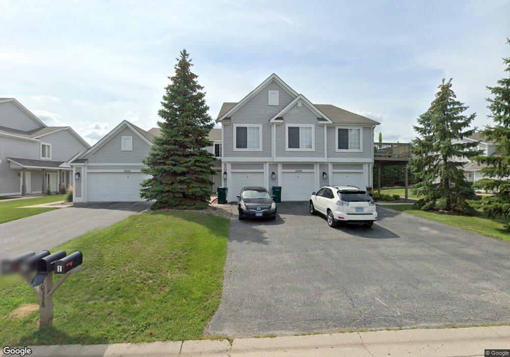
10338 Monarch Rd Roscoe, IL 61073
Estimated Value: $459,000 - $473,000
9
Beds
7
Baths
2,448
Sq Ft
$190/Sq Ft
Est. Value
About This Home
This home is located at 10338 Monarch Rd, Roscoe, IL 61073 and is currently estimated at $466,000, approximately $190 per square foot. 10338 Monarch Rd is a home located in Winnebago County with nearby schools including Rockton Elementary School, Whitman Post Elementary School, and Stephen Mack Middle School.
Ownership History
Date
Name
Owned For
Owner Type
Purchase Details
Closed on
Nov 2, 2018
Sold by
Trust No 1989
Bought by
Dyn Commercial Holdings Llc
Current Estimated Value
Home Financials for this Owner
Home Financials are based on the most recent Mortgage that was taken out on this home.
Original Mortgage
$2,700,000
Outstanding Balance
$2,369,253
Interest Rate
4.7%
Mortgage Type
New Conventional
Estimated Equity
-$1,903,253
Create a Home Valuation Report for This Property
The Home Valuation Report is an in-depth analysis detailing your home's value as well as a comparison with similar homes in the area
Home Values in the Area
Average Home Value in this Area
Purchase History
| Date | Buyer | Sale Price | Title Company |
|---|---|---|---|
| Dyn Commercial Holdings Llc | $2,717,000 | Security First Title | |
| Dyn Commercial Holdings Llc | $2,717,000 | Security First Title |
Source: Public Records
Mortgage History
| Date | Status | Borrower | Loan Amount |
|---|---|---|---|
| Open | Dyn Commercial Holdings Llc | $2,700,000 |
Source: Public Records
Tax History
| Year | Tax Paid | Tax Assessment Tax Assessment Total Assessment is a certain percentage of the fair market value that is determined by local assessors to be the total taxable value of land and additions on the property. | Land | Improvement |
|---|---|---|---|---|
| 2024 | $10,418 | $127,126 | $16,239 | $110,887 |
| 2022 | $8,952 | $95,735 | $13,322 | $82,413 |
| 2021 | $8,607 | $89,934 | $12,515 | $77,419 |
| 2020 | $8,485 | $86,666 | $12,060 | $74,606 |
| 2019 | $8,290 | $82,784 | $11,520 | $71,264 |
| 2018 | $9,810 | $98,152 | $11,069 | $87,083 |
| 2017 | $9,957 | $94,668 | $10,676 | $83,992 |
| 2016 | $9,630 | $93,150 | $10,505 | $82,645 |
| 2015 | $9,479 | $90,490 | $10,205 | $80,285 |
| 2014 | $9,138 | $89,346 | $10,076 | $79,270 |
Source: Public Records
Map
Nearby Homes
- 410 Pine White #102-B Rd
- 638 Merrion Rd
- 10138 Monarch Rd
- 10138 Monarch Rd Unit 4
- 664 Elberon Way
- 653 Yosemite Ave
- 9968 Leana Dr
- 10662 Chicory Ridge Way
- 10853 Lemon Grass Ln
- 819 Kenai Ct
- 805 Kenai Ct
- 827 Kenai Ct
- 818 Kenai Ct
- 833 Kenai Ct
- 826 Kenai Ct
- 841 Kenai Ct
- 832 Kenai Ct
- 845 Kenai Ct
- 840 Kenai Ct
- 844 Kenai Ct
- 10356 Monarch Rd
- 10316 Monarch Rd
- 10337 Metalmark Ln
- 10353 Metalmark Ln
- 10321 Metalmark Ln
- 10343 Monarch Rd
- 10365 Monarch Rd
- 10362 Monarch Rd
- 10311 Monarch Rd
- 10304 Monarch Rd
- 10361 Metalmark Ln
- 10305 Metalmark Ln
- 10379 Monarch Rd
- 10307 Monarch Rd
- 10332 Clearwing Ln
- 10394 Monarch Rd
- 10356 Clearwing Ln
- 10356 Clearwing Ln Unit 2
- 10310 Clearwing Ln
- 10375 Metalmark Ln
Your Personal Tour Guide
Ask me questions while you tour the home.