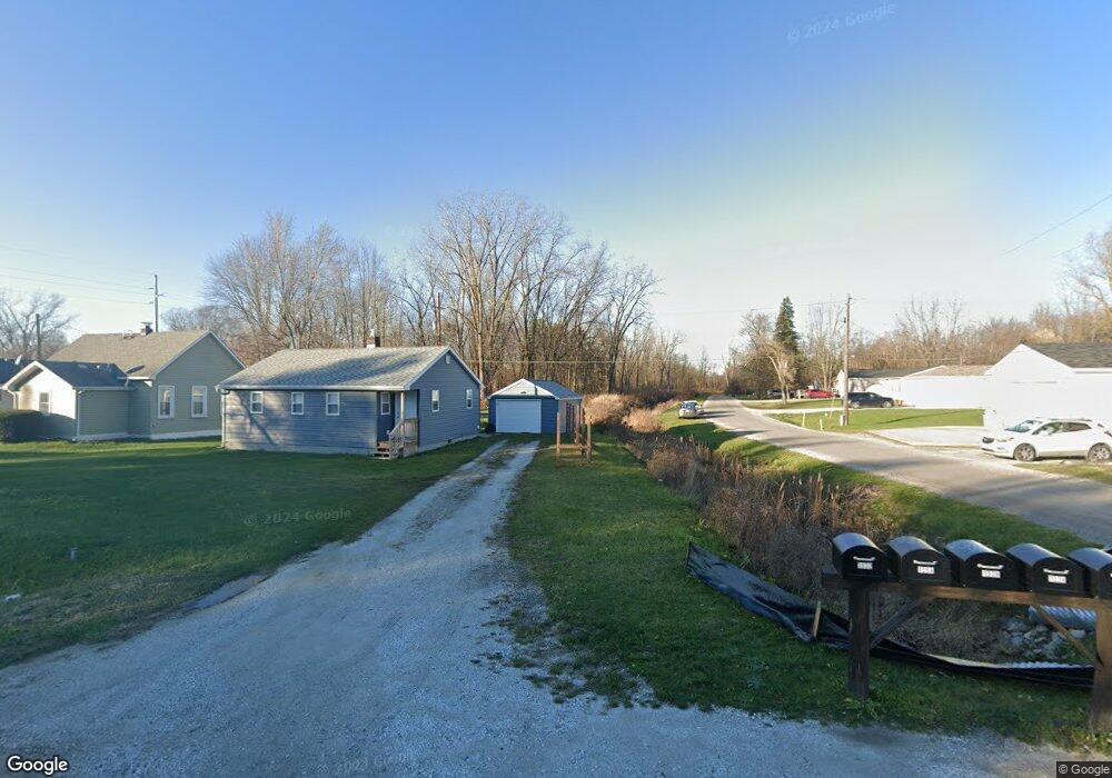
1034 39th St Port Huron, MI 48060
Estimated Value: $244,000 - $283,000
3
Beds
2
Baths
1,341
Sq Ft
$201/Sq Ft
Est. Value
About This Home
This home is located at 1034 39th St, Port Huron, MI 48060 and is currently estimated at $269,537, approximately $200 per square foot. 1034 39th St is a home with nearby schools including Cleveland Elementary School, Central Middle School, and Port Huron High School.
Ownership History
Date
Name
Owned For
Owner Type
Purchase Details
Closed on
Dec 6, 2019
Sold by
Rivard Sheri
Bought by
Selman Ray
Current Estimated Value
Home Financials for this Owner
Home Financials are based on the most recent Mortgage that was taken out on this home.
Original Mortgage
$183,219
Outstanding Balance
$161,534
Interest Rate
3.6%
Mortgage Type
VA
Estimated Equity
$108,003
Purchase Details
Closed on
Apr 5, 2019
Sold by
Sheri Rivard
Bought by
Miller Zachary and Miller Sarah
Home Financials for this Owner
Home Financials are based on the most recent Mortgage that was taken out on this home.
Original Mortgage
$7,500
Interest Rate
4.3%
Mortgage Type
New Conventional
Create a Home Valuation Report for This Property
The Home Valuation Report is an in-depth analysis detailing your home's value as well as a comparison with similar homes in the area
Home Values in the Area
Average Home Value in this Area
Purchase History
| Date | Buyer | Sale Price | Title Company |
|---|---|---|---|
| Selman Ray | $179,900 | Liberty Title | |
| Miller Zachary | $155,000 | Liberty Title |
Source: Public Records
Mortgage History
| Date | Status | Borrower | Loan Amount |
|---|---|---|---|
| Open | Selman Ray | $183,219 | |
| Previous Owner | Miller Zachary | $7,500 |
Source: Public Records
Tax History Compared to Growth
Tax History
| Year | Tax Paid | Tax Assessment Tax Assessment Total Assessment is a certain percentage of the fair market value that is determined by local assessors to be the total taxable value of land and additions on the property. | Land | Improvement |
|---|---|---|---|---|
| 2025 | $2,833 | $119,000 | $0 | $0 |
| 2024 | $1,569 | $92,400 | $0 | $0 |
| 2023 | $1,448 | $84,800 | $0 | $0 |
| 2022 | $2,676 | $71,200 | $0 | $0 |
| 2021 | $2,402 | $69,300 | $0 | $0 |
| 2020 | $2,620 | $71,900 | $0 | $71,900 |
| 2019 | $116 | $34,100 | $0 | $0 |
Source: Public Records
Map
Nearby Homes
- 0 39th St Unit 25046693
- 0 39th St Unit 20251028136
- 3333 Ravenswood Rd Unit 4A
- 3333 Ravenswood Rd
- 00 Moak St
- V/L Michigan
- 105 Gratiot Blvd
- 000 Gratiot Blvd
- 00 Gratiot Blvd
- 69 Gratiot Blvd
- 0 Busha Hwy Unit 50194246
- 3548 Cleveland St
- 3830 Military St
- 2702 Vanness St
- 2600 Vanness St
- 104 Oldbrook Ln
- 153 Meadow Ln
- 0000 Wisconsin Ave
- 2513 Vanness St
- 2511 Vanness St
- 1030 39th St Unit Bldg-Unit
- 1030 39th St
- 1038 39th St
- 00 39th
- 3524 Ravenswood Rd
- 3532 Ravenswood Rd
- 3512 Ravenswood Rd
- 3542 Ravenswood Rd
- 3550 Ravenswood Rd
- 1054 39th St
- 3492 Ravenswood Rd
- 3560 Ravenswood Rd
- 3484 Ravenswood Rd
- 3580 Ravenswood Rd
- 3468 Ravenswood Rd
- 1035 40th St
- 1045 40th St
- 3458 Ravenswood Rd
- 3604 Ravenswood Rd
- 0 40th St Unit 212022493