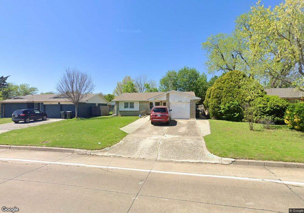
1034 Biloxi Dr Norman, OK 73071
Southeast Norman NeighborhoodEstimated Value: $163,967 - $186,000
3
Beds
1
Bath
1,317
Sq Ft
$131/Sq Ft
Est. Value
About This Home
This home is located at 1034 Biloxi Dr, Norman, OK 73071 and is currently estimated at $172,242, approximately $130 per square foot. 1034 Biloxi Dr is a home located in Cleveland County with nearby schools including Kennedy Elementary School, Irving Middle School, and Norman High School.
Ownership History
Date
Name
Owned For
Owner Type
Purchase Details
Closed on
Dec 29, 2011
Sold by
Henson Alice L
Bought by
Henson Charles W and Henson Alice L
Current Estimated Value
Purchase Details
Closed on
Oct 14, 2009
Sold by
Henson Charles W and Henson Alice L
Bought by
Alice L Henson 2009 Revocable Trust
Purchase Details
Closed on
Aug 26, 2009
Sold by
Henson Charles W and Henson Alice L
Bought by
Alice L Henson 2009 Revocable Trust
Create a Home Valuation Report for This Property
The Home Valuation Report is an in-depth analysis detailing your home's value as well as a comparison with similar homes in the area
Home Values in the Area
Average Home Value in this Area
Purchase History
| Date | Buyer | Sale Price | Title Company |
|---|---|---|---|
| Henson Charles W | -- | None Available | |
| Alice L Henson 2009 Revocable Trust | -- | None Available | |
| Alice L Henson 2009 Revocable Trust | -- | None Available |
Source: Public Records
Tax History Compared to Growth
Tax History
| Year | Tax Paid | Tax Assessment Tax Assessment Total Assessment is a certain percentage of the fair market value that is determined by local assessors to be the total taxable value of land and additions on the property. | Land | Improvement |
|---|---|---|---|---|
| 2024 | -- | $11,618 | $2,481 | $9,137 |
| 2023 | $0 | $11,280 | $1,800 | $9,480 |
| 2022 | $0 | $11,280 | $1,800 | $9,480 |
| 2021 | $0 | $11,280 | $1,800 | $9,480 |
| 2020 | $0 | $11,280 | $1,800 | $9,480 |
| 2019 | $0 | $11,158 | $1,780 | $9,378 |
| 2018 | $0 | $10,834 | $1,729 | $9,105 |
| 2017 | $0 | $11,280 | $0 | $0 |
| 2016 | -- | $10,211 | $1,629 | $8,582 |
| 2015 | -- | $9,914 | $1,191 | $8,723 |
| 2014 | -- | $9,626 | $1,941 | $7,685 |
Source: Public Records
Map
Nearby Homes
- 1332 E Brooks St
- 1337 E Brooks St
- 1 E Lindsey St
- 1322 Columbia Cir
- 1205 Charleston Ct
- 1332 Beaumont St
- 1220 12th Ave SE Unit 1205
- 1230 12th Ave SE Unit 1316
- 1404 1406 Concord Dr
- 1813 Candlewood Dr
- 1723 E Lindsey St Unit 2
- 1817 E Lindsey St Unit 3
- 1813 E Lindsey St Unit 4
- 635 Sinclair Dr Unit 637
- 1414 E Boyd St
- 1825 Beaumont Dr Unit 1831
- 1346 Concord Ct
- 1600 Hazelwood Dr
- 1613 E Boyd St
- 1621 Woodcreek Ct
- 1030 Biloxi Dr
- 1038 Biloxi Dr
- 1026 Biloxi Dr
- 1037 Mobile Cir
- 1323 E Louisiana St
- 1033 Mobile Cir
- 1022 Biloxi Dr
- 1029 Mobile Cir
- 1332 E Louisiana St
- 1025 Mobile Cir
- 4200 Vista Dr
- 1018 Biloxi Dr
- 1326 E Louisiana St
- 1021 Mobile Cir
- 1320 E Louisiana St
- 1014 Biloxi Dr
- 1028 Mobile Cir
- 1311 E Louisiana St
- 1017 Mobile Cir
- 1020 Mobile Cir