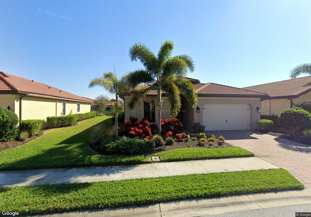
1034 Bluffwood Dr Nokomis, FL 34275
Estimated Value: $494,615 - $569,000
3
Beds
2
Baths
1,984
Sq Ft
$264/Sq Ft
Est. Value
About This Home
This home is located at 1034 Bluffwood Dr, Nokomis, FL 34275 and is currently estimated at $524,154, approximately $264 per square foot. 1034 Bluffwood Dr is a home with nearby schools including Laurel Nokomis School, Venice High School, and Island Village Montessori School.
Ownership History
Date
Name
Owned For
Owner Type
Purchase Details
Closed on
Jul 8, 2025
Sold by
Ray Randall P and Ray Marsha M
Bought by
Randall P Rayand Marsha M Ray Revocable Trust and Ray
Current Estimated Value
Purchase Details
Closed on
Sep 23, 2016
Sold by
D R Horton Inc
Bought by
Ray Randall P and Ray Marsha M
Home Financials for this Owner
Home Financials are based on the most recent Mortgage that was taken out on this home.
Original Mortgage
$125,000
Interest Rate
3.45%
Mortgage Type
New Conventional
Create a Home Valuation Report for This Property
The Home Valuation Report is an in-depth analysis detailing your home's value as well as a comparison with similar homes in the area
Home Values in the Area
Average Home Value in this Area
Purchase History
| Date | Buyer | Sale Price | Title Company |
|---|---|---|---|
| Randall P Rayand Marsha M Ray Revocable Trust | $100 | None Listed On Document | |
| Ray Randall P | $340,255 | Dhi Title |
Source: Public Records
Mortgage History
| Date | Status | Borrower | Loan Amount |
|---|---|---|---|
| Previous Owner | Ray Randall P | $125,000 |
Source: Public Records
Tax History
| Year | Tax Paid | Tax Assessment Tax Assessment Total Assessment is a certain percentage of the fair market value that is determined by local assessors to be the total taxable value of land and additions on the property. | Land | Improvement |
|---|---|---|---|---|
| 2025 | $3,588 | $324,247 | -- | -- |
| 2024 | $3,468 | $315,109 | -- | -- |
| 2023 | $3,468 | $305,931 | $0 | $0 |
| 2022 | $3,365 | $297,020 | $0 | $0 |
| 2021 | $3,347 | $288,369 | $0 | $0 |
| 2020 | $3,356 | $284,388 | $0 | $0 |
| 2019 | $3,234 | $277,994 | $0 | $0 |
| 2018 | $3,151 | $272,811 | $0 | $0 |
| 2017 | $3,135 | $267,200 | $48,800 | $218,400 |
| 2016 | $683 | $50,800 | $50,800 | $0 |
Source: Public Records
Map
Nearby Homes
- 1015 Bluffwood Dr
- 1058 Bluffwood Dr
- 1048 Bradberry Dr
- 1098 Bradberry Dr
- 700 Forest St
- 603 Church St
- 751 Arabian Cir
- 500 Church St
- 5860 Ocean Isle Dr
- 601 Hamlin St
- 94 Anne Bonny Cir
- 5824 Ocean Isle Dr
- 604 King St
- 1112 Sunset Ave
- 17147 Blowfish Dr
- 17148 Blowfish Dr
- 52 Blackbeard Ln
- 41 Lafitte Dr
- 6 Lafitte Dr
- 17 Lafitte Dr
- 1030 Bluffwood Dr
- 1038 Bluffwood Dr
- 1026 Bluffwood Dr
- 1042 Bluffwood Dr
- 1027 Bradberry Dr
- 1029 Bluffwood Dr
- 1033 Bluffwood Dr
- 1022 Bluffwood Dr
- 1025 Bluffwood Dr
- 1023 Bradberry Dr
- 1046 Bluffwood Dr
- 1031 Bradberry Dr
- 1037 Bluffwood Dr
- 1021 Bluffwood Dr
- 1019 Bradberry Dr
- 1035 Bradberry Dr
- 1041 Bluffwood Dr
- 1050 Bluffwood Dr
- 1045 Bluffwood Dr
- 1039 Bradberry Dr
Your Personal Tour Guide
Ask me questions while you tour the home.