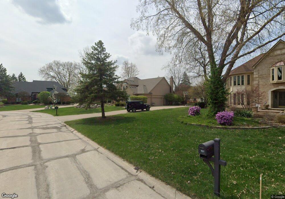
1034 Clear Point Ct Bloomfield Hills, MI 48304
Estimated Value: $557,939 - $665,000
4
Beds
3
Baths
3,215
Sq Ft
$193/Sq Ft
Est. Value
About This Home
This home is located at 1034 Clear Point Ct, Bloomfield Hills, MI 48304 and is currently estimated at $621,735, approximately $193 per square foot. 1034 Clear Point Ct is a home located in Oakland County with nearby schools including R. Grant Graham Elementary School, Avondale Middle School, and Avondale High School.
Ownership History
Date
Name
Owned For
Owner Type
Purchase Details
Closed on
May 13, 2016
Sold by
Dale Norfork Althea M
Bought by
Dale Norfork Althea
Current Estimated Value
Home Financials for this Owner
Home Financials are based on the most recent Mortgage that was taken out on this home.
Original Mortgage
$236,314
Outstanding Balance
$192,524
Interest Rate
4.4%
Mortgage Type
FHA
Estimated Equity
$429,211
Purchase Details
Closed on
Feb 12, 2011
Sold by
Feldman Susan M and Feldman Michael J
Bought by
Dale Norfork Althea M
Home Financials for this Owner
Home Financials are based on the most recent Mortgage that was taken out on this home.
Original Mortgage
$251,459
Interest Rate
4.87%
Mortgage Type
FHA
Create a Home Valuation Report for This Property
The Home Valuation Report is an in-depth analysis detailing your home's value as well as a comparison with similar homes in the area
Home Values in the Area
Average Home Value in this Area
Purchase History
| Date | Buyer | Sale Price | Title Company |
|---|---|---|---|
| Dale Norfork Althea | -- | Red Carpet Title Agency Llc | |
| Dale Norfork Althea M | $274,000 | Complete Title Services Of S |
Source: Public Records
Mortgage History
| Date | Status | Borrower | Loan Amount |
|---|---|---|---|
| Open | Dale Norfork Althea | $236,314 | |
| Closed | Dale Norfork Althea M | $251,459 |
Source: Public Records
Tax History Compared to Growth
Tax History
| Year | Tax Paid | Tax Assessment Tax Assessment Total Assessment is a certain percentage of the fair market value that is determined by local assessors to be the total taxable value of land and additions on the property. | Land | Improvement |
|---|---|---|---|---|
| 2024 | $3,523 | $259,880 | $0 | $0 |
| 2023 | $3,361 | $234,300 | $0 | $0 |
| 2022 | $8,034 | $215,140 | $0 | $0 |
| 2021 | $9,123 | $206,610 | $0 | $0 |
| 2020 | $3,079 | $198,780 | $0 | $0 |
| 2019 | $8,230 | $198,190 | $0 | $0 |
| 2018 | $7,434 | $195,020 | $0 | $0 |
| 2017 | $7,484 | $189,400 | $0 | $0 |
| 2016 | $7,184 | $173,640 | $0 | $0 |
| 2015 | -- | $153,420 | $0 | $0 |
| 2014 | -- | $157,930 | $0 | $0 |
| 2011 | -- | $134,130 | $0 | $0 |
Source: Public Records
Map
Nearby Homes
- 1717 Brandywine Dr
- 1737 S Hill Blvd
- 1525 S Hill Blvd
- 1916 Squirrel Valley Dr
- 1926 Hickory Bark Ln
- 3072 Henrydale St
- 833 Bloomfield Village Blvd Unit A
- 842 Bloomfield Village Blvd Unit F
- 833 Bloomfield Village Blvd Unit B
- 870 Huntclub Blvd
- 862 Polo Place
- 825 Huntclub Blvd
- 758 Huntclub Blvd
- 3164 Bessie St
- 2156 Park Ridge Dr
- 3221 Bessie St
- 1299 Winchcombe Dr
- 1524 Georgetown Dr Unit 32
- 1522 Tannahill Ln
- 909 Tartan Trail Unit 203
- 1040 Clear Point Ct
- 1759 Squirrel Valley Dr
- 1037 Clear Point Ct Unit Bldg-Unit
- 1037 Clear Point Ct
- 1735 Squirrel Valley Dr
- 1771 Squirrel Valley Dr
- 1046 Clear Point Ct
- 1025 Home Ln
- 1719 Squirrel Valley Dr
- 1031 Home Ln
- 1041 Clear Point Ct
- 1789 Squirrel Valley Dr
- 1054 Clear Point Ct
- 1047 Clear Point Ct
- 1037 Home Ln
- 1687 Squirrel Valley Dr
- 1053 Clear Point Ct
- 1043 Home Ln
- 1058 Clear Point Ct
- 1736 Squirrel Valley Dr