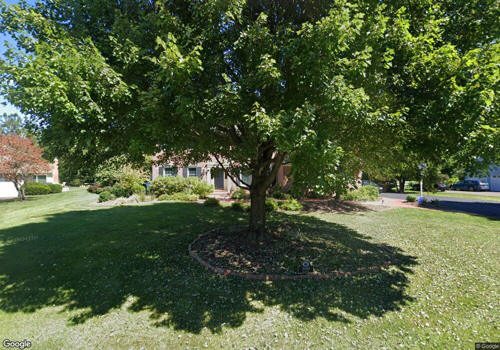
1034 Cox Ave Washington Crossing, PA 18977
Estimated Value: $859,000 - $1,066,000
4
Beds
3
Baths
3,298
Sq Ft
$299/Sq Ft
Est. Value
About This Home
This home is located at 1034 Cox Ave, Washington Crossing, PA 18977 and is currently estimated at $986,365, approximately $299 per square foot. 1034 Cox Ave is a home located in Bucks County with nearby schools including Sol Feinstone Elementary School, Newtown Middle School, and Council Rock High School North.
Ownership History
Date
Name
Owned For
Owner Type
Purchase Details
Closed on
Feb 1, 2002
Sold by
Markey Richard C and Markey Jeanne K
Bought by
Markey Richard C and Markey Jeanne K
Current Estimated Value
Home Financials for this Owner
Home Financials are based on the most recent Mortgage that was taken out on this home.
Original Mortgage
$365,000
Outstanding Balance
$151,670
Interest Rate
7.13%
Estimated Equity
$834,695
Purchase Details
Closed on
Jan 15, 1993
Bought by
Markey Richard C
Create a Home Valuation Report for This Property
The Home Valuation Report is an in-depth analysis detailing your home's value as well as a comparison with similar homes in the area
Home Values in the Area
Average Home Value in this Area
Purchase History
| Date | Buyer | Sale Price | Title Company |
|---|---|---|---|
| Markey Richard C | -- | -- | |
| Markey Richard C | $330,000 | -- |
Source: Public Records
Mortgage History
| Date | Status | Borrower | Loan Amount |
|---|---|---|---|
| Open | Markey Richard C | $365,000 |
Source: Public Records
Tax History Compared to Growth
Tax History
| Year | Tax Paid | Tax Assessment Tax Assessment Total Assessment is a certain percentage of the fair market value that is determined by local assessors to be the total taxable value of land and additions on the property. | Land | Improvement |
|---|---|---|---|---|
| 2025 | $11,153 | $65,200 | $14,600 | $50,600 |
| 2024 | $11,153 | $65,200 | $14,600 | $50,600 |
| 2023 | $10,847 | $65,200 | $14,600 | $50,600 |
| 2022 | $10,791 | $65,200 | $14,600 | $50,600 |
| 2021 | $10,645 | $65,200 | $14,600 | $50,600 |
| 2020 | $10,390 | $65,200 | $14,600 | $50,600 |
| 2019 | $10,149 | $65,200 | $14,600 | $50,600 |
| 2018 | $9,960 | $65,200 | $14,600 | $50,600 |
| 2017 | $9,687 | $65,200 | $14,600 | $50,600 |
| 2016 | $9,834 | $65,200 | $14,600 | $50,600 |
| 2015 | -- | $65,200 | $14,600 | $50,600 |
| 2014 | -- | $65,200 | $14,600 | $50,600 |
Source: Public Records
Map
Nearby Homes
- 282 Aqueduct Rd
- 26 Morgan Ave
- LOTS 3 and 4 Taylorsville Rd
- Lot 6 Taylorsville Rd
- 6 Forrest Blend Dr
- 1114 General Hamilton Rd
- 0 1st Ave Unit 597140
- 12 Montague Ave
- 56 Wilfred Ave
- 31 Montague Ave
- 140 Glenwood Dr
- 928 Taylorsville Rd
- 86 Jacobs Creek Rd
- 1045 Washington Crossing Rd
- 8 High Acres Dr
- 1 High Acres Dr
- 38 Mcconkey Dr
- 1155 Mount Eyre Rd
- 126 Bruce Rd
- 3 Stonebridge Crossing Rd
- 1036 Cox Ave
- 1032 Cox Ave
- 1030 Cox Ave
- 103 Lafayette Dr
- 102 Lafayette Dr
- 104 Lafayette Dr
- 1028 Cox Ave
- 105 Lafayette Dr
- 107 Lafayette Dr
- 1026 Cox Ave
- 106 Lafayette Dr
- 1037 River Rd
- 1024 Cox Ave
- 1039 River Rd
- 109 Lafayette Dr
- 108 Lafayette Dr
- 1022 Cox Ave
- 5 Bunker Hill Dr
- 7 Bunker Hill Dr
- 110 Lafayette Dr